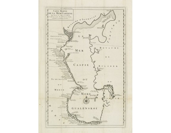
VERDEN, VAN K. - Carte Marine De La Mer Caspiene levée suivant les ordres de S.M.Cz. En 1719, 1720 et 1721.
 Click on image to zoom

VERDEN, VAN K. - Carte Marine De La Mer Caspiene levée suivant les ordres de S.M.Cz. En 1719, 1720 et 1721.
Published: Paris, ca. 1725
Size: 398 x 264mm.
Color: Uncoloured.
Condition: De L'Isle maps were almost always issued with outline colour, and it is very unusual to find them in wash colour. Two sheets if joined together
Description
Detailed of the Caspian Sea, prepared by Karl van Verden in 1722. Van Verden was a Russian sailor and the Czar's Special Commander, who produced the first accurate map of Caspian.
200€
- See other items by this publisher: VERDEN, VAN K.
- Reference N°: 28427
