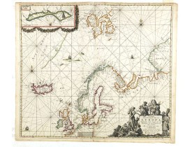
VAN KEULEN, J.
 Click on image to zoom
Location: 1666
Published: Amsterdam, after 1666
Size: 519 x 586mm.
Color: In attractive strong original colours.
Condition: A good and dark impression. Some winkles next to center fold.<br /><b>Cartouche, town spots are lavishly heightened with gold !</b> and figures in title cartouche coloured in grisaille. Margins very mildly browned.
An eye-catching chart of northern Europe with coastline from northern Russia to the Dutch English Channel in the south. North..
3,500€
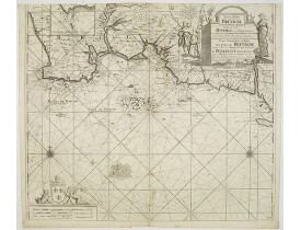
Location: 1709
Published: Amsterdam, 1709
Size: 505 x 575mm.
Color: Uncoloured.
Condition: Petites taches brunes ; coupé en haut, à l'intérieur du filet d'encadrement.
Carte marine publiée dans "De Groote Nieuwe Vermeerderde Zee-Atlas ofte Water-Waereld. Vertoonende in zig alle de Zee-Kusten ..
600€
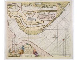
Location: 1710
Published: Amsterdam, c.1710
Size: 505 x 575mm.
Color: Coloured.
Condition: Good condition. Printers creases in lower left corner.
Fine sea chart of the southern part of the Barents Sea, oriented to the West. With 5 inset maps: - Swetenoes, de Kust van Lap..
500€
Showing 1 to 3 of 3 (1 Pages)


