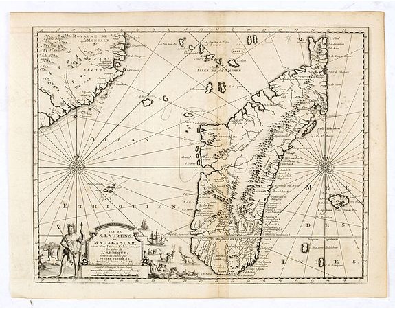
VAN DER AA, P. - Ile de S. Laurens, ou Madagascar, située dans L’Ocean Ethiopien, sur les Côtes de L’Afrique.

VAN DER AA, P. - Ile de S. Laurens, ou Madagascar, située dans L’Ocean Ethiopien, sur les Côtes de L’Afrique.
Published: Leiden, 1729
Size: 280 x 364mm.
Color: Uncoloured.
Condition: Dark impression. Wide margins. Faint discolouration along center fold. Else very good condition.
Description
Detailed map of Madagascar and Réunion. Published by Pieter van der Aa in "Galérie agréable du monde", completed in 1729. The Galerie was a sixty-six volume atlas and said to have been issued in an edition of 100 copies only (Tooley, p. 1).
The work contained over 3000 plates and maps. Van der Aa states in the preface that nearly all the plates had been purchased from various Dutch publishers.
Pieter van der Aa was born in Leiden in 1659, became apprenticed to the booksellers trade at age 9 and died in 1733. Many of his atlases were made to order from outdated plates acquired from many of the older well-known cartographers.
450€
- See other items by this publisher: VAN DER AA, P.
- Reference N°: 37723
1005 views
 Click on image to zoom
