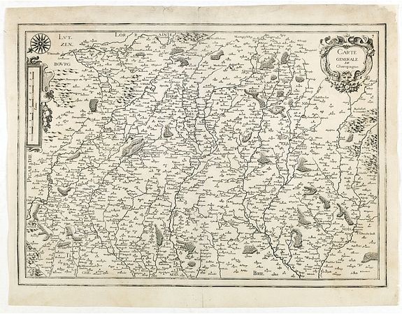
TASSIN, N. - Carte generale de Champagne.

TASSIN, N. - Carte generale de Champagne.
Published: Paris, 1634
Size: 365 x 518mm.
Color: Uncoloured.
Condition: Repair of a small marginal split in lower part center fold. In good condition.
Description
Rare and detailed map of Champagne region, including part of Luxemburgfrom the first edition of Nicolas Tassin's rare folio size atlas of France.
Nicolas Tassin (fl. 1633-55) was appointed "royal cartographer" at Dijon before setting up as an engraver in Paris.
Nicolas Tassin (fl. 1633-55) was appointed "royal cartographer" at Dijon before setting up as an engraver in Paris.
200€
- See other items by this publisher: TASSIN, N.
- Reference N°: 34685
2255 views
 Click on image to zoom
