Switzerland
The Silk Road extended approximately 6,437 kilometers (4,000 miles) across some of the world’s most formidable landscapes, including the Gobi Desert, the Pamir Mountains and traversed several of Uzbekistan’s major cities, including Samarkand, Bukhara and Khiva. The roads were typically in poor condition. Robbers were common. To protect themselves, traders joined together in caravans with camels or other pack animals. Over time, large inns called caravanserais cropped up to house travelling merchants.
One of the most famous travelers of the Silk Road was Marco Polo (1254 C.E. –1324 C.E.). Born into a family of wealthy merchants in Venice, Italy, Marco traveled with his father to China (then Cathay) when he was just 17 years of age.
It is hard to overstate the importance of the Silk Road on history. Religion and ideas spread along the Silk Road just as fluidly as goods. Towns along the route grew into multicultural cities.
The exchange of information gave rise to new technologies and innovations that would change the world.
The below antique maps are available for immediate sale, they are sold with a certificate of authenticity and published at the date indicated in the catalog description.
One of the most famous travelers of the Silk Road was Marco Polo (1254 C.E. –1324 C.E.). Born into a family of wealthy merchants in Venice, Italy, Marco traveled with his father to China (then Cathay) when he was just 17 years of age.
It is hard to overstate the importance of the Silk Road on history. Religion and ideas spread along the Silk Road just as fluidly as goods. Towns along the route grew into multicultural cities.
The exchange of information gave rise to new technologies and innovations that would change the world.
Antique maps including the Silk Route region
The below antique maps are available for immediate sale, they are sold with a certificate of authenticity and published at the date indicated in the catalog description.
Location: 1493
Published: Nuremberg, 12 July 1493
Size: 253 x 520mm.
Color: Coloured.
Condition: Very good condition, wide margins and attractive colours. Two sheets pasted together.
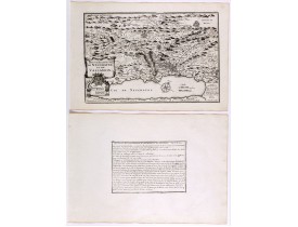
A very fine view of Basle (253x520 cm). Verso showing the councils of Florence and Basle and two portraits.Page from the rich..
1,500€
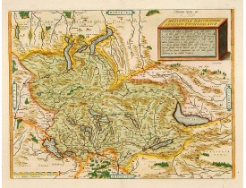
Location: 1598
Published: Anvers, 1598
Size: 343 x 455mm.
Color: Coloured
Condition: Texte français.
A fine map based upon a map by the Swiss cartographer Aegidicus Tschudi of 1538...
600€
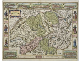
Location: 1630
Published: Amsterdam, 1630
Size: 408 x 532mm.
Color: Coloured.
Condition: A good and dark impression.
A most decorative map with panoramic views of Lucern, S.Gal, Bern, Solothurn, Schafhausen in upper border and Basel and Zuric..
3,000€
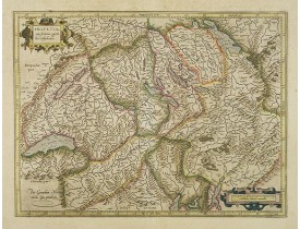
Location: 1630
Published: Amsterdam, 1630
Size: 352 x 468mm.
Color: In original colours.
Condition: A good and strong impression. Paper slightly age-toned, as usual. Alltogether in very good condition.
Detailed and finely engraved map of Switzerland...
350€
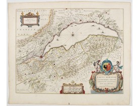
Location: 1644
Published: Amsterdam, 1644
Size: 410 x 520mm.
Color: In attractive strong original colours.
Condition: In very good condition. Paper very slightly browned and with light spotting to margins. Good dark impression. French text on verso.
From the 1644 edition of Blaeu's Atlas Novus. RARE.A fabulous map depicting row boats and sailing vessels dotting the surface..
0€
Location: 1705
Published: Paris, 1705
Size: 237 x 340mm.
Color: Uncoloured.
Condition: Mint condition. Dark impression. <br />Together with an engraved text sheet.
Map of the Neuchatel region, from Nicolas de Fer's "L'Atlas curieux ou le Monde réprésente dans des cartes. "The "Atlas Curie..
50€
Location: 1710
Published: Paris, c. 1710
Size: 475 x 620 mm.
Color: In original o/l colours.
Condition: Slightly water staining at lower part of the map.
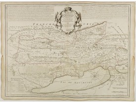
DE L'ISLE, G. - Carte de la souveraineté de Neuchatel et Vallangin. - 41947 - Switzerland - DE L'ISLE, G. - Carte de la souv..
200€
Location: 1740
Published: Augsbourg, 1740
Size: 335 x 1005mm.
Color: Uncoloured.
Condition: Printed from two plates. A good and dark impression. Paper a little wringled and some light water staining, else fine.
Very fine panoramic view of Bern. With a numbered key (1-25) of principal buildings in town...
2,700€
Location: 1740
Published: Augsbourg, 1740
Size: 335 x 1005mm.
Color: Uncoloured
Condition: Printed from two plates. A good and dark impression. Paper a little wringled, else fine.
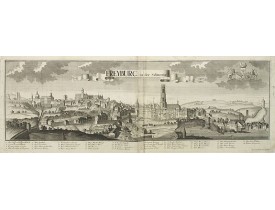
Very fine panoramic view of Freiburg. With a numbered key (1-38) of principal buildings in town...
2,200€
Location: 1773
Published: Zurich, Johann Kaspar Ziegler, 1754-1773
Size: 206 x 167 mm.
Color: Uncoloured.
Condition: 4to. 3 parts in 3 volumes, titles printed in red and black, frontispiece and 326 engraved views, plans and maps (most folding). Contemporary vellum, titles printed in gold on spines. - 1rst volume : [1] leaf, [2], VIII, [34], 15, pp, page 3 to 98 (page 1 missing), page 103 to 270 (two times pages 193 to 196), [6] pp. - 2nd volume : [2] leaves, page 173 to 257 (wrong numbered), page 459 to 476, 277 to 442 (wrong numbered). - 3rd volume : [1] leaf, [6], 8 pp, page 1 to 22, 25 to 30, 34 to 38, 41 to 59 (recto), 224 (verso) to 225, 62 (verso) to 70.
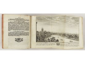
HERRLIBERGER, D. - Neue und vollständige Topographie der Eidgnossschaft, in welcher die in den dreyzehen und zugewandten auc..
5,000€
Showing 1 to 10 of 10 (1 Pages)

![SCHEDEL, H. - Basilae [ Basle, CCXLIIII ] SCHEDEL, H. - Basilae [ Basle, CCXLIIII ]](https://www.loeb-larocque.com/eshop/image/cache/catalog/image/new_upload/29714-275x210w.jpg)
