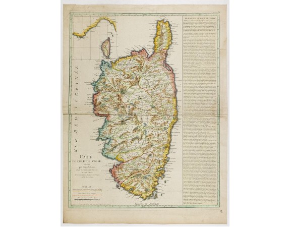
St ANGELO / LATTRE / VEZOU. - Carte de l'Isle de Corse divisée par Jurisdictions.
 Click on image to zoom

St ANGELO / LATTRE / VEZOU. - Carte de l'Isle de Corse divisée par Jurisdictions.
Published: Paris, 1768
Size: 605 x 460mm.
Color: Coloured.
Condition: Good impression.
Description
Map undated, carries the address of Lattré, rüe St. Jaques to the City of Bordeaux and Vezou, ruë St. Guill.e Faub. S. Germ. Long descriptive text on the right relating both the geography and the history of Corsica, until the intervention of the French troops and the victory of the Corsicans on the Genoese in 1767. Inset with the coasts of France and Italy with Corsica.
750€
- Reference N°: 41927
