Silk Road
Location: 1784
Published: Venice, 1776 - 1784
Size: 468 x 647mm.
Color: In original o/l colours.
Condition: In very good condition.
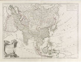
A finely and crisply engraved map of Asia is decorated with an ornamental title cartouche in the lower-left corner.There are ..
1,000€
Location: 1784
Published: Venice, 1776 - 1784
Size: 476 x 606mm.
Color: In original o/l colours.
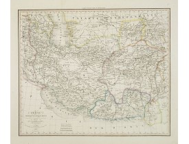
Condition: Slight marginal spotting. Lower margin short, as issued. Else very good condition.
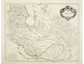
Finely and crisply engraved map of the Persian Empire during the 18th century. It shows the Caspian Sea in the north to the P..
350€
Location: 1785
Published: Paris, Ph.-D. Pierres, Clousier [- Moutard], 1785
Size: 515 x 805mm.
Color: Uncoloured.
Condition: A very good and dark impression. Folded as issued. Printed on thick paper.
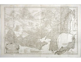
This is a very detailed map of the region from Japan to the Gobi Desert, centered on Mongolia and Korea, from D'Anville's Atl..
1,500€
Location: 1787
Published: London, 1787
Size: 1030 x 1195mm.
Color: In original o/l colours.
Condition: Three joined sheets. Repair of 2 marginal tears just runniing into engraved area. Some paper thinness reinforced.
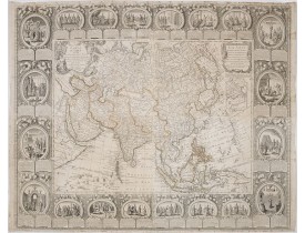
An attractive and rare, separately issued map, of Asia with figured side borders. With large decorative title cartouche. By T..
5,500€
Location: 1787
Published: Paris, Mondhare, 1787
Size: 960 x 1221mm.
Color: Original outline colors.
Condition: Printed on four sheets. Joined and mounted on canvas. The paper is slightly browned. Some minor localized staining and foxing. Some minor folds and minor wrinkles. Two small losses of paper at the lower right and left part. Good impression. Some pinholes due to ancient display.
Spectaculaire carte murale entourée d'une superbe bordure dans le style Rococo, constituée de 20 scènes à sujets historiques ..
6,000€
Location: 1790
Published: Tübingen, Heerbrandt, 1790
Size: 233 x 253mm.
Color: In attractive strong original colours.
Condition: Small marginal browning. Large margins. Dark impression.
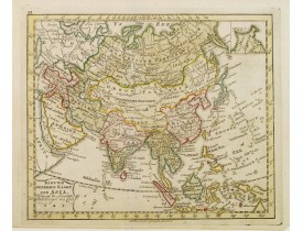
An engraved map of Asia shows an oversized Japan and part of Australia, called Neu Holland. To the east of the Caspian Sea, w..
400€
Location: 1792
Published: Amsterdam, 1792
Size: 177 x 213mm.
Color: Original colours.
Condition: In good condition.
Uncommon map of Asia, with Dutch text. Engraved by A.Krevelt. In the upper right-hand corner, inset the map of Siberia. The r..
100€
Location: 1806
Published: Paris,1801-1806
Size: 175 x 110mm.
Color: In attractive original colours.
Condition: In very good condition.
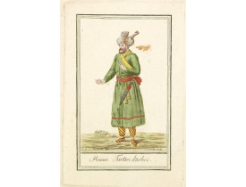
Originally hand-colored costume mezzotint of a man from Uzbekistan engraved by Félix Mixelle and Lachaussée Jeune after Jacqu..
25€
Location: 1806
Published: Paris,1801-1806
Size: 170 x 110mm.
Color: In attractive original colours.
Condition: In very good condition.
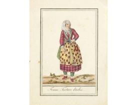
Originally hand-colored costume mezzotint of a woman from Uzbekistan engraved by Félix Mixelle and Lachaussée Jeune after Jac..
25€
Location: 1810
Published: Paris, c. 1810
Size: 185 x 230mm.
Color: In original o/l colours.
Condition: In very good condition.
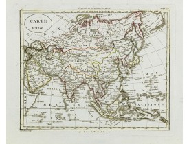
Fine map of Asia, with an interesting representations of Japan, Hokkaido, Sakhalin Island, Kamchatka and Korea. Engraved by A..
150€
Location: 1828
Published: Paris, A.H. Basset, 1828
Size: 350 x 420mm.
Color: In attractive original o/l colours.
Condition: Steel engraving, in very good condition.
Detailed map of Irak and Iran, prepared by A. H. Basset, rue Saint-Jacques, no. 64, Paris and published in Atlas classique et..
150€
Location: 1837
Published: Paris 1837
Size: 570 x 870mm.
Color: In original o/l colours.
Condition: A folding map. A folding, linen-backed, engraved travel map with extensive original manuscript annotations, divided across 21 panels, which fold. Good condition.
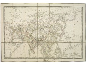
This is a detailed map of Asie. It provides very good details of towns in modern-day Uzbekistan. The region is labeled as "Us..
500€
Location: 1839
Published: London, 1839
Size: 480 x 595mm.
Color: In original o/l colours.
Condition: In good general condition, although there is some light foxing, minor staining, and some paper damage to top left margin.
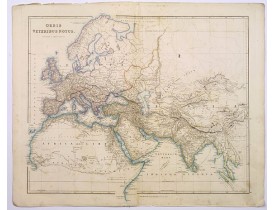
This is a detailed steel-engraved map of the ancient world, stretching from Europe eastwards to the Black Sea and beyond, sou..
250€
Location: 1840
Published: Venice, 1840
Size: 335 x 475mm.
Color: In attractive original colours.
Condition: Printed on heavy paper. Mint condition.
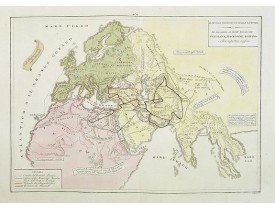
A rare double-page map of the so-called Empire of Alexander the Great (also known as the Macedonian Empire or the Hellenistic..
100€
Location: 1841
Published: London, 1841
Size: 812 x 1045mm.
Color: Original outline colors.
Condition: Folding map in 4 sheets. If joined 812x1045 (32x41.5 inch)
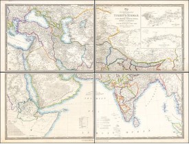
This striking 4-sheet map, dating to the first half of the 19th century, covers a vast region stretching from Cyprus to Bhut..
1,100€
Location: 1846
Published: London, 2-1846
Size: 630 x 486mm.
Color: In original colours.
Condition: Very good condition.
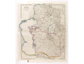
This is a very detailed map of the Caspian Sea regions to the north and east. It includes the Caspian Sea, Aral Sea, and the ..
400€

![SAYER, R. - A New and Correct Map of Asia Laid down from the latest and best Observations Humbly Inscribed to his Royal Highness George, Prince of Wales. . . [2 subtitles:] Several Representations of the Customs Manners etc. of Divers Parts of Asia. . . SAYER, R. - A New and Correct Map of Asia Laid down from the latest and best Observations Humbly Inscribed to his Royal Highness George, Prince of Wales. . . [2 subtitles:] Several Representations of the Customs Manners etc. of Divers Parts of Asia. . .](https://www.loeb-larocque.com/eshop/image/cache/catalog/image/new_upload/35765-275x210w.jpg)
![KLEMM, J. F. - [Asia and part of Australia] KLEMM, J. F. - [Asia and part of Australia]](https://www.loeb-larocque.com/eshop/image/cache/catalog/image/new_upload/26453-275x210h.jpg)
