Sea Charts
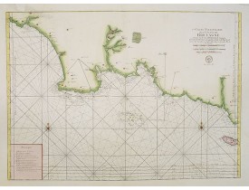
Location: 1773
Published: Paris, 1773
Size: 584 x 817mm.
Color: Coloured.
Condition: Belle impression sur papier fort. Exemplaire aux contours aquarellés de rose, vert et jaune. Habile restauration dans la partie sup. gauche affectant la carte.
Très belle carte marine publiée dans Le Neptune François ou recueil des cartes marines . Eschelle de 10 lieues marines de Fra..
600€
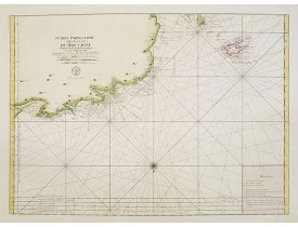
Location: 1773
Published: Paris, 1773
Size: 580 x 805mm.
Color: Coloured.
Condition: Belle impression sur papier fort. Très bonne condition générale. Bel exemplaire aux contours aquarellés de rose, vert et jaune.
Très belle carte marine publiée dans "Le Neptune françois/ou recueil des cartes marines". Eschelle de 10 lieues marines de F..
500€
Location: 1774
Published: Paris, 1774
Size: 207 x 343mm.
Color: Uncoloured.
Condition: Center fold as issued. Good condition.
Charts of York's Bay, Haven of the Three Islands, St. David's Bay, and Elizabeth's Bay. This print is taken from the first F..
50€
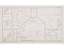
Location: 1774
Published: Paris, 1774
Size: 203 x 355mm.
Color: Uncoloured.
Condition: Center fold as issued. Some discolouration in lower part center fold. Good condition.
Eight charts on one sheet of Cap Providence, St. David's Cove, the Bay of the Island, Swallow's Haven, Puzzling Bay, Bay..
60€
Location: 1775
Published: Paris, ca 1775
Size: 480 x 660mm.
Color: Uncoloured.
Condition: Pâle mouillure dans la marge inférieure de l'Océan oriental, pâle mouillure et petite tache brune sur la carte de Mahé (335 x 485 mm). Cartes manuscrites (à la plume) des Seychelles et de Praslin au verso des cartes.
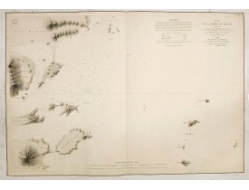
Cartes publiées par D'Après de Mannevillette dans son "Neptune oriental". Au verso de la carte de l'Océan oriental, une carte..
800€
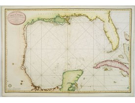
Location: 1800
Published: Paris, 1800
Size: 598 x 893mm.
Color: Coloured.
Condition: Several wormholes filled in, hardly notable. Overall in very good condition.
Detailed and important early chart of the Gulf Coast and Florida and dated 1800. From Neptune des cotes occidentales d'Amer..
4,000€
Location: 1852
Published: London, 1852
Size: 655 x 985mm.
Color: Uncoloured.
Condition: In good general condition.
A highly corrected version of Admiralty chart 3989 originally published 11 Mai 1962 under the Superintendence of Captain EG I..
80€
Location: 1863
Published: Paris, c.1856 / 1863
Size: 621 x 912mm.
Color: Uncoloured.
Condition: Printed on thick paper. Cut on plate mark. Dark impression.
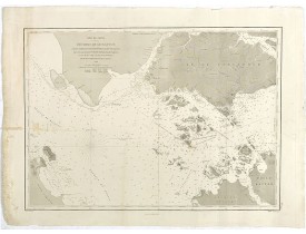
Very detailed chart of Macao and several of the surrounding Islands, and features numerous depth soundings throughout. Prepa..
1,500€
Location: 1868
Published: London (1836) corrected to 1868
Size: 629 x 879mm.
Color: Uncoloured.
Condition: Overall good condition. Printed on heavy paper.
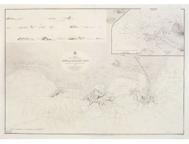
Large chart focused east of Aden, in Yemen.With inset plan of Aden Anchorage in the upper right corner and a set of coastal..
850€
Location: 1868
Published: Paris, 1868
Size: 630 x 910mm.
Color: Uncoloured.
Condition: In very fine condition. Sea has been printed in light brown.
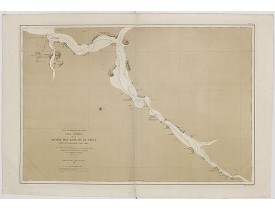
Uncommon chart of the Han-Kang River from its mouth to Seoul, prepared in 1866 by order of C.A. ROZE, Commander-in-Chief of t..
1,250€
Location: 1873
Published: London, 1873
Size: 443 x 620 mm.
Color: Uncoloured.
Condition: Some marginal discolouration. Generally in very good condition.
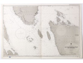
HYDROGRAPHIC OFFICE OF THE ADMIRALTY. - Mer de Chine - Detroit De Singapour Partie Comprise Entre Singaour et Le Dett. De Ma..
2,500€
Location: 1895
Published: Paris, 1895
Size: 685 x 920mm.
Color: In original o/l colours.
Condition: In perfect condition, on strong paper. Light houses coloured in yellow and red.. A few annotations in ink.
A fine French Service Hydrograhique de la Marine chart no. 4821, showing Boston Harbour, after maps of the United Coast Surv..
200€
Location: 1903
Published: London, 1887 - 190, updated to 1903
Size: 1245 x 650mm.
Color: Uncoloured.
Condition: Paper slightly age-toned as usual.
A fine Survey chart no. 1601 showing Wusung River or Hwang Pu. / Wusung River Entrance [With Shanghai]..
800€
Location: 1934
Published: Paris, 1908 corrigé en 1934
Size: 665 x 977mm.
Color: Uncoloured.
Condition: Good margins. Small label pasted on the lower right corner margin. Overall good condition.
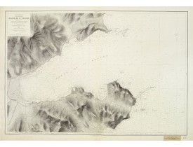
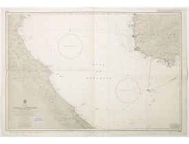
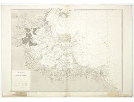
Carte marine détaillée du Golfe de St. Tropez. Gravée par Huguet, E. Biscay and Gorvel et corrigée en 1934. Titre complet : "..
500€
Location: 1996
Published: London, 1924 / 1996
Size: 633 x 980 mm.
Color: In original o/l colours.
Condition: Paper age toned, a few minor age toning and signs of use. With corrections in red ink. Size of sheet 710 x 1040 mm.
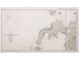
LONDON ADMIRALTY. - China Sea Philippine Islands - San Bernandino Strait and approaches. (3370) - 42282 - Philippines - LOND..
150€
Location: 2005
Published: London, 1925 / 2005
Size: 650 x 1105 mm.
Color: In original o/l colours.
Condition: Mint condition. With corrections in red, blue and purple ink. Size of sheet 710 x 1180 mm.
LONDON ADMIRALTY. - Philippine Islands - Mindanao West Coast - Basilan Strait to Camiguin Island including Tubbataha Reefs. ..
150€
Location: 2006
Published: London, 1922 / 2006
Size: 633 x 980 mm.
Color: In original o/l colours.
Condition: Paper slightly age toned with slight signs of use. Small tear of lower part center fold. Good condition. With corrections in red, blue and purple ink and lead pencil. Small paste on label. Size of sheet 710 x 1040 mm.
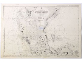
LONDON ADMIRALTY. - Philippine Islands - Luzon - west and east coast. Cabrai. to S.n Fernando P.t. Diapitan B. to S.n Miguel..
200€


![APRES DE MANNEVILLETTE, J-B. N. d'. - [Seychelles].Carte réduite de l'Océan Oriental Septentrional … avec les Isles de Ceylan, Maldives et Laquedives [ au verso carte manuscrite des Seychelles]/ Plan des Isles Mahé [ au verso carte manuscrite de Praslin]. APRES DE MANNEVILLETTE, J-B. N. d'. - [Seychelles].Carte réduite de l'Océan Oriental Septentrional … avec les Isles de Ceylan, Maldives et Laquedives [ au verso carte manuscrite des Seychelles]/ Plan des Isles Mahé [ au verso carte manuscrite de Praslin].](https://www.loeb-larocque.com/eshop/image/cache/catalog/image/new_upload/63857-275x210w.jpg)
![POTTER, J.D. - Wusung River or Hwang Pu. / Wusung River Entrance [With Shanhhai] POTTER, J.D. - Wusung River or Hwang Pu. / Wusung River Entrance [With Shanhhai]](https://www.loeb-larocque.com/eshop/image/cache/catalog/image/new_upload/48595-275x210h.jpg)
