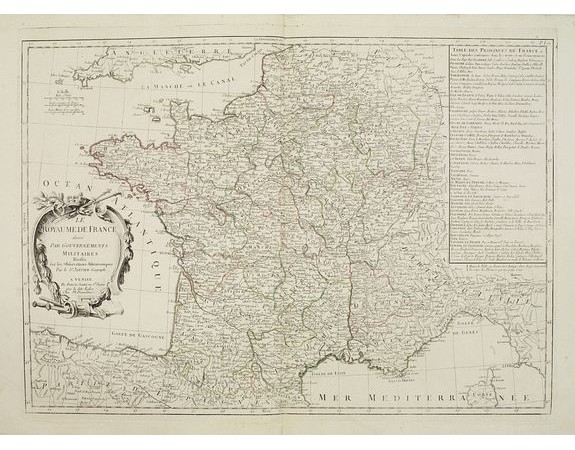
SANTINI, P. / REMONDINI, M. - Le Royaume de France..

SANTINI, P. / REMONDINI, M. - Le Royaume de France..
Published: Venice, 1776 - 1784
Size: 465 x 559mm.
Color: In original o/l colours.
Condition: A good and dark impression. Very good condition.
Description
Decorative map of France with large title cartouche and a liste of the "Provinces de France".
Prepared by Le Sieur Janvier, Jean denis [Robert], French geographer and cartographer, to whom Santini gives credit in the cartouche.
From "Atlas Universel" published by Santini in 1776-84. The atlas is effectively an Italian copy of the Robert de Vaugondy 'Atlas Universel'.
In 1784 Santini sold the plates to M. Remondini, whose name appears on this particular example.
250€
- See other items by this publisher: SANTINI, P. / REMONDINI, M.
- Reference N°: 25093
2070 views
 Click on image to zoom
