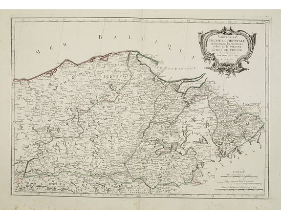
SANTINI, P. /REMONDINI, M. - Carte de la Prusse Occidentale.. au Roi de Prusse.

SANTINI, P. /REMONDINI, M. - Carte de la Prusse Occidentale.. au Roi de Prusse.
Date: Venise, 1776 - 1784
Format: 450 x 648mm.
Color: Limites en col. ancien.
Condition: Marginal thumbling. Light spotting in the lower margin, just affecting the scale border. Else very good condition.
Description
Finely and crisply engraved map of Prussia including The Bay of Danzig.
Venetian edition of Giles Didier Robert De Vaugondy's map from Atlas Universel printed in 1776-84.
Ornamental title cartouche in the upper right corner.
Venetian edition of Giles Didier Robert De Vaugondy's map from Atlas Universel printed in 1776-84.
Ornamental title cartouche in the upper right corner.
300€
- N° Reference: 25146
Product Views: 2727
 cliquez sur l'image pour l'agrandir
