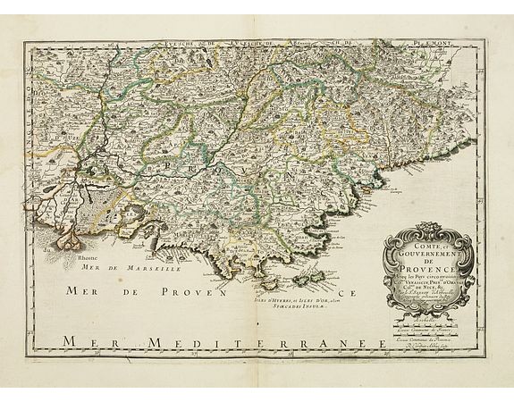
SANSON, N. / MARIETTE, P. - Comté, et Gouvernement de Provence. . .

SANSON, N. / MARIETTE, P. - Comté, et Gouvernement de Provence. . .
Published: Paris, 1652
Size: 319 x 462mm.
Color: In original o/l colours.
Condition: Pâle mouillure en haut à gauche de la carte. Bel exemplaire. - Good and dark impression. In good condition.
Description
First state of this fine map of southern France, including the Provence. It extends along the Mediterranean coast from the mount of River Rhone in the west to "Vinitimille" and the Genovese border in the east. Detail extends northwards to Montelimar.
This edition carries the date 1652, engraved by Robert Cordier.
Nicolas Sanson was to bring about the rise of French cartography, although the fierce competition of the Dutch would last until the end of the century. His success was partly owing to the partnership with the publisher Pierre Mariette. In 1644 the latter had purchased the business of Melchior Tavernier, and helped Sanson with financial support in producing the maps. In 1657 Pierre Marriette died, however his son, also named Pierre, co-published Les Cartes Générales de toutes les parties du Monde. the following year. It was the first folio French produced world atlas.
500€
- See other items by this publisher: SANSON, N. / MARIETTE, P.
- Reference N°: 32401
4274 views
 Click on image to zoom
