SANSON, N./ MARIETTE, P.
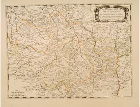
Location: 1650
Published: Paris, 1650
Size: 393 x 524mm.
Color: In original o/l colours.
Condition: Paper contemporarily cut till plate mark and laid down on a larger sheet of paper. Good and dark impression.
Fine map of central part of France. This edition carries the date 1650 and the cartouche presents the address of Pierre Marie..
100€
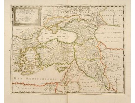
Location: 1650
Published: Paris, 1650
Size: 398 x 515mm.
Color: In original o/l colours.
Condition: Paper contemporarily cut till plate mark and laid down on a larger sheet of paper. Good and dark impression.
Fine map of the Near East with Turkey, Palestine and the Crim area. Nicolas Sanson was to bring about the rise of French cart..
400€
Location: 1657
Published: Paris, 1641-1657
Size: 398 x 523mm.
Color: In original o/l colours.
Condition: Good and dark impression. Brown spot in lower part map, can easily be removed.
Fine map of the British Isles, in a second state. The map was first published by Tavernier and later by Mariette. This editio..
450€
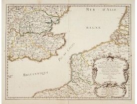
Location: 1659
Published: Paris, 1654-1659
Size: 367 x 535mm.
Color: In original o/l colours.
Condition: Good and dark impression. Very good.
The standard map of South Eastern England with Kent and Essex, Sussex and Cornwall in 17th century France. Engraved by A.Peyr..
270€
Location: 1659
Published: Paris, 1654-1659
Size: 363 x 581mm.
Color: In original o/l colours.
Condition: Good and dark impression. Left and right hand margin cutt off into scale, due to its over-size. Very good.
The standard map of Middle Eastern part of England with Chester, Leicester, Oxford, Cambridge, etc. in 17th century France. E..
240€
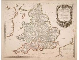
Location: 1665
Published: Paris, 1665
Size: 400 x 505mm.
Color: In original o/l colours.
Condition: A good impression. Some very minor marginal brown staining.
Decorative map of British Isles with Rococo title cartouche...
570€
Location: 1665
Published: Paris, 1665
Size: 410 x 560mm.
Color: In original o/l colours.
Condition: Good and dark impression. Paper slightly age toned. In good condition.
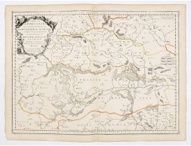
Scarce regional map, centered on Pinsk and showing Polish Lithuania, including part of modern Poland, Belarus, etc. This edit..
1,200€
Location: 1665
Published: Paris, 1665
Size: 385 x 575mm.
Color: In original o/l colours.
Condition: Good and dark impression. Short margins as issued. Paper slightly browned. Else in good condition.
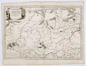
Scarce and fine map after Guillaume Le Vasseur de Beauplan (c. 1600 — December 6 1673), who was a French cartographer, engine..
0€
Location: 1665
Published: Paris, 1665
Size: 425 x 575mm.
Color: In original o/l colours.
Condition: Good and dark impression. Light paper creasing along center fold. Paper slightly browned. Else in good condition.
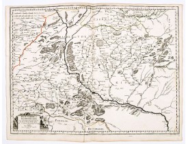
Scarce and fine map after Guillaume Le Vasseur de Beauplan (c. 1600 — December 6 1673), who was a French cartographer, engine..
0€
Location: 1666
Published: Paris, 1666
Size: 412 x 523mm.
Color: In original o/l colours.
Condition: Good and dark impression. A dark impression.
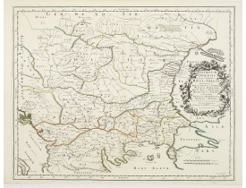
Attractive historical map of the area west of the Black Sea, today's Bulgaria, Rumania, etc. Based on the cartography of Nico..
300€
Showing 1 to 10 of 10 (1 Pages)
 Click on image to zoom

