Russia
Location: 1604
Published: Frankfurt am Main, 1604
Size: 105 x 145mm.
Color: Uncoloured.
Condition: Light brown stains in the margins. Browned paper. Else in good condition.
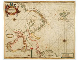
Charming and decorative miniature map of the Russian island of Nowaya Zemlya. With the depiction of Barentsz.' route. With in..
275€
Location: 1666
Published: Amsterdam, 1666
Size: 450 x 540mm.
Color: Coloured.
Condition: On double-ply paper as issued. Paper very mildly age-toned, as usual. A good and dark impression.
An eye-catching chart of Scandinavia, including Russia, with west to the topPieter Goos (ca. 1616-1675) was one of the most i..
1,250€
Location: 1696
Published: Hamburg, 1696
Size: 292 x 343mm.
Color: Uncoloured.
Condition: Copper engraving (237x343mm.) and letter press.
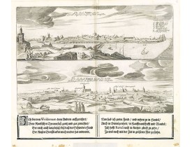
An early town-view of the town of Narva, located at the eastern tip of Estonia, on the Russian border.From the uncommon Hambu..
500€
Location: 1697
Published: Paris, 1697
Size: 135 x 183mm.
Color: In original o/l colours.
Condition: Paper slightly age toned, a dark impression. <br />Accompanied by a double page engraved text sheet with a description of the region.
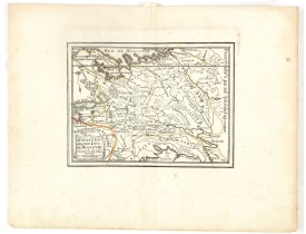
DE FER, N. - Estats du Grand Duc de Moscovie . . . - 37705 - Russia - DE FER, N. - Estats du Grand Duc de Moscovie . . . - 3..
200€
Location: 1710
Published: Amsterdam, c.1710
Size: 505 x 575mm.
Color: Coloured.
Condition: Good condition. Printers creases in lower left corner.
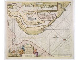
Fine sea chart of the southern part of the Barents Sea, oriented to the West. With 5 inset maps: - Swetenoes, de Kust van Lap..
500€
Location: 1719
Published: Leiden, 1719
Size: 295 x 350mm.
Color: Uncoloured.
Condition: Paper very slightly age toned but generally in fine condition. Dark impression.
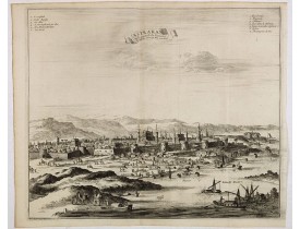
Decorative view of Astrakhan. Astrakhan is where Europe ends and Central Asia begins. Its position on the Caspian Sea has ens..
300€
Location: 1720
Published: Amsterdam, 1720
Size: 459 x 608mm.
Color: In original o/l colours.
Condition: In good condition.
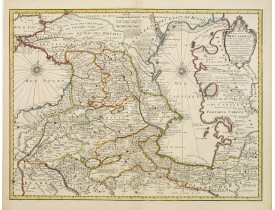
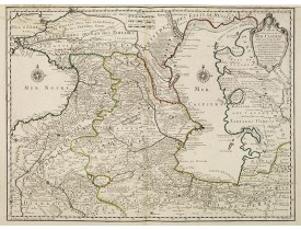
A most attractive and detailed map of the region between the Black and Caspian Seas after De L'Isle. The two Seas are decorat..
650€
Location: 1723
Published: Paris, 1723
Size: 620 x 419mm.
Color: Original o/l colour.
Condition: Printed on heavy paper, slightly age-toned as usual. Good impression. Excellent condition.
The map shows the area east of the Caspian Sea, including parts of Kazakhstan, Turkmenistan, Uzbekistan, and northern Iran. T..
600€
Location: 1725
Published: Paris, ca. 1725
Size: 398 x 264mm.
Color: Uncoloured.
Condition: De L'Isle maps were almost always issued with outline colour, and it is very unusual to find them in wash colour. Two sheets if joined together
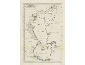
Detailed of the Caspian Sea, prepared by Karl van Verden in 1722. Van Verden was a Russian sailor and the Czar's Special Comm..
200€
Location: 1737
Published: Augsburg, 1737
Size: 505 x 580mm.
Color: In original colours.
Condition: Very good and dark impression.
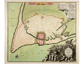
A striking image of this fortified Russian outpost on the Black Sea at Otzakoff, northeast of Odessa...
1,000€
Location: 1753
Published: Paris, ca. 1753
Size: 171 x 148mm.
Color: In original o/l colours.
Condition: Dark impression. Very good. Foldings as issued.
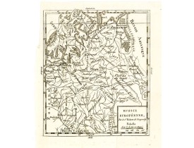
Detailed map of European part of Russia, including Finland and Lapland.Gilles Robert de Vaugondy (1688–1766), also known as L..
50€
Location: 1757
Published: Augsburg, 1757
Size: 500 x 570mm.
Color: In attractive strong original colours.
Condition: Mint condition. Printed on heavy paper.
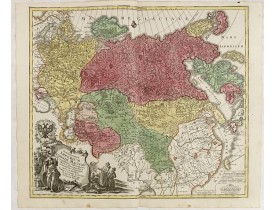
This is a decorative map of greater Russia, extending from Livonia in the west to Kamchatka, China, Tibet, Taiwan, Korea, and..
1,200€
Location: 1760
Published: Paris, 1760
Size: 255 x 389mm.
Color: In attactive original colours.
Condition: Faint marginal traces of water stains, just affecting the upper title, hardly visible. Large margins. Good condition.
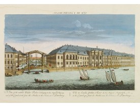
So-called optical print illustrating a perspective view of St. Petersburg, namely the ancient Winter Palace and the canal whi..
600€
Location: 1772
Published: Lyon, chez Jean-Marie Bruyser, 1772
Size: 190 x 120 mm.
Color: Uncoloured
Condition: 2 volumes in-8 de XLIV, (4), 366 pp. ; (1) f., 428 pp. ; veau blond, dos lisse ornés, pièces de titre citron, tranches rouges (reliure de l'époque).
MANSTEIN, Christoph Hermann von. - Mémoires historiques, politiques et militaires sur la Russie. - 64523 - Russia - MANSTEIN..
2,500€
Location: 1782
Published: Venice, 1782
Size: 407 x 312mm.
Color: In attractive strong original colours.
Condition: On thick paper.
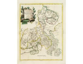
An attractive and detailed map of Western Russia with Lapland and Finland, including the towns of St. Petersburg, Kola, and ..
350€
Location: 1788
Published: Potzdam, Strasbourg, Paris, 1788
Size: 590 x 640 mm.
Color: In original o/l colours.
Condition: 4to. 92pp. with large folding map. Contemp. mottled calf, with raised spine in 6 compartments. Richly gilted with coats of arms of Ducs of Luynes, and title on red morocco label.
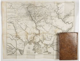
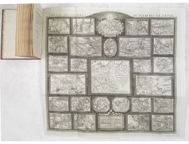
MULLER, L. - Tableau des guerres de Frédéric le Grand: ou plans figurés de vingt-six batailles rangées, ou combats essentiel..
4,500€
Location: 1788
Published: Paris, 1788
Size: 440 x 650mm.
Color: In original colours.
Condition: Good condition.
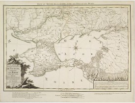
Very rare map of the Crimea area published Jean-Claude Dezauche, who was active in Paris 1770-1824. The map includes borders ..
750€
Location: 1794
Published: Paris, 1794
Size: 243 x 374mm.
Color: Uncoloured.
Condition: Mounted on linen, dissected in 6 parts, lined with green silk.
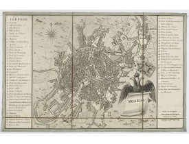
Charming little town-planof Moscow engraved by Tardieu. Separately issued and also included in "l’Histoire de la Russie" by L..
750€
Location: 1794
Published: Nuremberg, 1794
Size: 497 x 678mm.
Color: In original colours.
Condition: Good condition. Printed on heavy paper. Paper slightly age-toned.
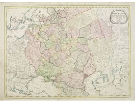
A detailed map of the European part of the Russian Empire. Very rare map. Copper etching by C. Mannert and edited by Adam Got..
1,200€
Location: 1800
Published: Vienna, ca. 1786-1800
Size: 790 x 1140mm.
Color: In original o/l colours.
Condition: In very good condition, printed on heavy paper. Two unjoined sheets; if mounted
An attractive map of Russia in two unjoined sheets. Very detailed with rivers lakes mountains etc. To the lower right corner..
1,400€
Location: 1830
Published: France, c.1830
Size: 500 x 780mm.
Color: Uncoloured.
Condition: Folding map dissected in 20 sections, canvas mounted. Very good condition.
Very detailed map of part of Russia, including the cities of Minsk, Sloutsk, Mozouir, Ghorodnia, Starodoub, Klimovitschi. . ...
200€
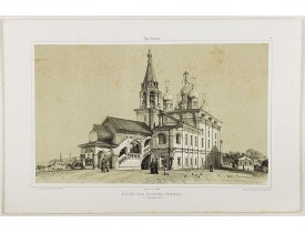
Location: 1844
Published: Paris, 1844
Size: 270 x 440 mm.
Color: Uncoloured.
Condition: Lithography on tinted ground. Mint condition.
GIBAUT FRERES / DURAND, A.. - Eglise des saintes femmes. - 41431 - Russia - GIBAUT FRERES / DURAND, A.. - Eglise des sainte..
175€
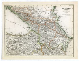
Location: 1849
Published: Hildburghausen, 1849
Size: 198 x 266mm.
Color: Original outline colours.
Condition: In good condition.
Detailed contemporary colored map of the countries of the Caucasus Mountains. Steel engraving appeared in "Meyer's Lexicon. A..
45€
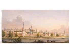
Location: 1850
Published: Russia, ca. 1850
Size: 295 x 585mm.
Color: In original colours.
Condition: Lead pencil with gouache drawing on thick paper. Corners slightly creased and some paper cracks in upper right corner and middle outer part. Generally very good.
Anonymous, likely Russian School gouache drawing of Moscow Kremlin. The Kremlin is depicted in a typical 19th century romanti..
4,000€
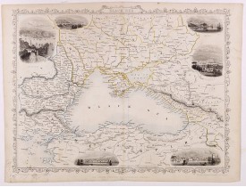
Location: 1851
Published: London, London Printing and publishing Company of London, ca. 1851
Size: 245 x 320mm.
Color: In original o/l colours.
Condition: Paper slightly age-toned. Generally good condition.
Decorative steel engraved map of the Black Sea with inset views of Sebastopol and Odessa. There are also vignettes of Consta..
100€

![HULSIUS, L. - [Nova Zembla] HULSIUS, L. - [Nova Zembla]](https://www.loeb-larocque.com/eshop/image/cache/catalog/image/new_upload/44870-275x210w.jpg)
![SCHRAMBLE, F.A. - [No title : Wall-map size map of Russia] SCHRAMBLE, F.A. - [No title : Wall-map size map of Russia]](https://www.loeb-larocque.com/eshop/image/cache/catalog/image/new_upload/34484-275x210w.jpg)
![UNKNOWN - [No title, showing Minsk, Sloutsk, Mozouir, Ghorodnia, Starodoub, Klimovitschi,. . .] UNKNOWN - [No title, showing Minsk, Sloutsk, Mozouir, Ghorodnia, Starodoub, Klimovitschi,. . .]](https://www.loeb-larocque.com/eshop/image/cache/catalog/image/new_upload/30616-275x210w.jpg)
