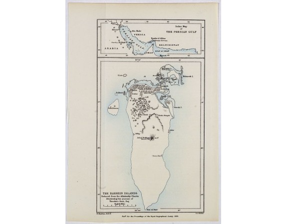
ROYAL GEOGRAPHICAL SOCIETY - The Bahrein Islands. Reduced from the admiraly Charts, illustrating the journey of Theodore Brent, Esq.
 Click on image to zoom

Out Of Stock
ROYAL GEOGRAPHICAL SOCIETY - The Bahrein Islands. Reduced from the admiraly Charts, illustrating the journey of Theodore Brent, Esq.
Published: London, Edward Stanford, 1890
Size: 210 x 116mm.
Color: In printed colours.
Condition: Lithographed map on thin paper. Foldings reinforced with acidfree tape for protective reason.
Description
Early map of Bahrein Island, with in top a map of the Persian Gulf. Fine coloured lithographed map by F.S. Weller. Published for the proceedings of the Royal Geographical Society, illustrating the journey of Theodore Brent. With in center Jebel Dukham, most of the country's oil wells are situated in the vicinity of the mountain.
0€
- Reference N°: 40721
