Route de la soie
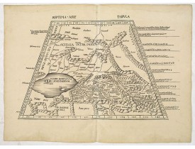
Location: 1513
Date: Strasburg, 1513
Format: 340 x 545mm.
Color: Noir et blanc.
Condition: Good impression. Some minor discolouration and water staining in outer margin. Paper slightly age toned. Some old backing along center fold due to some small splits. Printed on heavy paper.
A woodblock-printed large-format Ptolemaic map showing the region east of the Caspian Sea is labeled SOGDIANA. Sogdia or Sogd..
5 000€
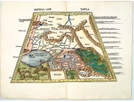
Location: 1513
Date: Strasbourg, J. Schott,1513
Format: 365 x 535mm.
Color: Beau col. d'époque.
Condition: Carte gravée sur bois. Magnifique exemplaire en coloris d'époque. - Mint condition.
De 1507 à 1513, Waldseemuller travaille avec son ami Mathias Ringman (1482-1522) à la nouvelle édition latine de la Geographi..
7 000€
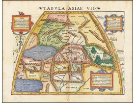
Location: 1542
Date: Basle, 1542
Format: 270 x 345mm.
Color: Col.
Condition: Wood block print with letter press. Good impression.
Attractive woodblock map, depicting the Caspian Sea, Black Sea and the Persian Gulf, extending to the Imaus Mountains, accor..
600€
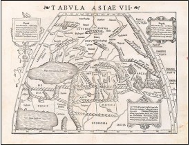
Location: 1542
Date: Basle, 1542
Format: 270 x 345mm.
Color: Noir et blanc.
Condition: Wood block print with letter press. Good impression.
Attractive woodblock map, depicting the Caspian Sea, Black Sea and the Persian Gulf, extending to the Imaus Mountains, accor..
500€
Location: 1590
Date: Antwerp, c. 1590
Format: 382 x 500mm.
Color: Beau col. ancien.
Condition: Paper very slightly age-toned. Dark impression, printed on heavy paper. Some light offsetting due to oxidation of ink and colours. With French text on verso.
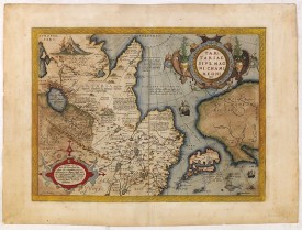
This is a very early depiction of the northern Pacific, with the first mapping of the Northwest Coast of America and probably..
1 500€
Location: 1633
Date: Amsterdam, 1633
Format: 342 x 495mm.
Color: Beau col. ancien.
Condition: Some outer marginal discoloration. Paper is very slightly age-toned in very good condition. French text on verso.
Published in Hondius' editions of the Mercator Atlas from 1606 onwards, showing China, Korea and the northern Pacific coast o..
1 000€
Location: 1636
Date: Amsterdam, 1636
Format: 435 x 555mm.
Color: Col. ancien.
Condition: Paper slightly browned. Cut to neat line, partly within outer border and remargined for protective reason. Some repaired tears and small missing area's redrawn. Making nice presentation.
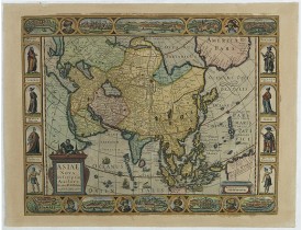
Final State of Pieter Van Den Keere's Rare Map of Asia--The first map of Asia to include decorative panels.The map has an int..
2 800€
Location: 1645
Date: Londres, 1645
Format: 144 x 183mm.
Color: Noir et blanc.
Condition: Right hand side unfortunataly running of the page, as issued. With a English text on recto and verso.
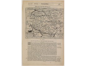
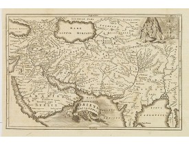
Early map of Persia, published in his famous collection of voyages "His Pilgrimes". With descriptive text in English on both ..
100€
Location: 1658
Date: Amsterdam, 1658
Format: 382 x 502mm.
Color: Col. ancien.
Condition: Printed on heavy paper. Some light water staining in upper margin, hardly affecting the engraved area. Dutch text on verso. Wide margins, very good impression, near to mint condition.
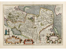
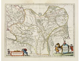
This is a detailed and decorative map of the Tartary and northern part of China, including the Chinese Great Wall, the Caspia..
600€
Location: 1660
Date: Amsterdam, 1660
Format: 400 x 510mm.
Color: Noir et blanc.
Condition: A very good and dark impression. Paper slightly browned. Very good throughout.
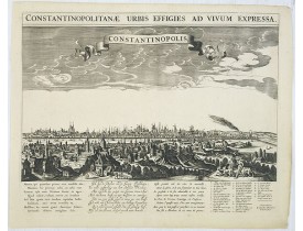
A rare panoramic town-view of Istanbul with over the whole length of the lower part 3 columns of poems in Latin, Dutch and Fr..
3 500€
Location: 1700
Date: Oxford, 1700
Format: 360 x 500mm.
Color: Noir et blanc.
Condition: Repair to centrefold, three brown ink marks to top margin. Map has been cleaned. Slight plate wear. Some paper thinning. Good overall condition.
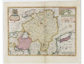
Two insets show the land to the northeast of China, according to Jesuit information. The map stretches from northern Russia a..
800€
Location: 1713
Date: Amsterdam, 1713
Format: 215 x 335mm.
Color: Col.
Condition: Map has two small holes that affect the engraved surface, one is a rust hole light creasing and the margins have very minor nicks and small tears, else in good condition.
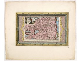
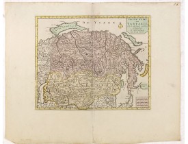
This attractive map of Tartary shows the ancient Silk Road region. The map shows the track of William of Rubruck (Willem van ..
500€
Location: 1719
Date: Leiden, 1719
Format: 270 x 352mm.
Color: Noir et blanc.
Condition: Generally in fine condition. Dark impression.
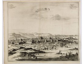
Decorative view of Kashan in Iran. A branch of the Silk Road skirts the western and southern edges of Iran's central desert, ..
300€
Location: 1719
Date: Leiden, 1719
Format: 295 x 350mm.
Color: Noir et blanc.
Condition: Paper very slightly age toned but generally in fine condition. Dark impression.
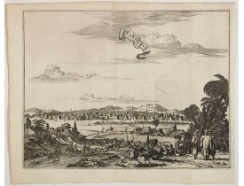
Decorative view of Astrakhan. Astrakhan is where Europe ends and Central Asia begins. Its position on the Caspian Sea has ens..
300€
Location: 1721
Date: London, 1721
Format: 476 x 547mm.
Color: Limites en col. ancien.
Condition: A good and dark impression. Repair of split right hand part of the map.
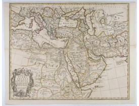
FIRST EDITION - Fine Turkish Empire map centered on Saudi Arabia, Cyprus and the Mediterranean Sea. Dated 1711, "Sold by John..
1 500€
Location: 1723
Date: Paris, 1723
Format: 620 x 419mm.
Color: Limites en col. ancien.
Condition: Printed on heavy paper, slightly age-toned as usual. Good impression. Excellent condition.
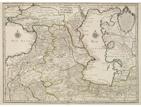
The map shows the area east of the Caspian Sea, including parts of Kazakhstan, Turkmenistan, Uzbekistan, and northern Iran. T..
600€
Location: 1732
Date: Leipzig, Gledisch, 1732
Format: 200 x 300mm.
Color: Noir et blanc.
Condition: Paper slightly age-toned. Dark impression.
Uncommon map of Persia, Armenia, Arabian Peninsular and part of India. Prepared by Christoph Cellarius (1638-1707). From Geo..
80€
Location: 1737
Date: Nurnberg, 1737
Format: 482 x 562mm.
Color: Col. ancien.
Condition: Repair of a very small marginal tear in lower margin. Paper slightly age toned. In good condition.
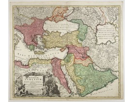
Johann Baptist Homann's well-engraved map of the Turkish Empire shows the journey from Tunis to Arabia, including Greece, Ara..
900€
Location: 1737
Date: The Hague, 1737
Format: 470 x 685mm.
Color: Col. ancien.
Condition: Paper broken on centerfold and other places due to oxidation of green ink. Good and dark impression.
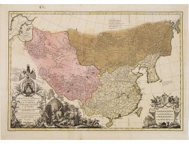
It has a quite elaborate pictorial cartouche engraved by G. Kondet. It is a very detailed map of China, Tibet, and Korea.In t..
2 500€
Location: 1737
Date: Nurnberg, 1737
Format: 485 x 563mm.
Color: Col. ancien.
Condition: A good and dark impression. Some very light age toning of paper.
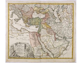
Johann Baptist Homann's well-engraved map of the Ottoman Empire centered on Cyprus. With good detail in the Arabian Peninsula..
475€
Location: 1750
Date: Amsterdam, 1750
Format: 280 x 343mm.
Color: Col. ancien.
Condition: In very attractive original colours. Wide margins.
A map of Tartary, Korea and part of Japan. The map is most notable for the confusion between Kamchatka and Iesso.There are ve..
300€
Location: 1757
Date: Augsburg, 1757
Format: 500 x 570mm.
Color: Beau col. ancien.
Condition: Mint condition. Printed on heavy paper.
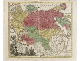
This is a decorative map of greater Russia, extending from Livonia in the west to Kamchatka, China, Tibet, Taiwan, Korea, and..
1 200€
Location: 1783
Date: Paris, 1783
Format: 205 x 260mm.
Color: Limites en col. ancien.
Condition: Good and dark impression, printed on strong paper. Very good condition.
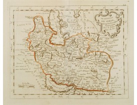
This is a rare map of Persia with modern-day Uzbekistan to the north. The region is labeled as "Grande Tartarie" and "Pays de..
250€
Location: 1784
Date: Venice, 1776 - 1784
Format: 468 x 647mm.
Color: Limites en col. ancien.
Condition: In very good condition.
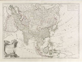
A finely and crisply engraved map of Asia is decorated with an ornamental title cartouche in the lower-left corner.There are ..
1 000€

