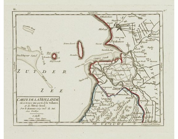
ROBERT DE VAUGONDY, G. - III. Carte de la Hollande.. Over-Yssel.

ROBERT DE VAUGONDY, G. - III. Carte de la Hollande.. Over-Yssel.
Published: Paris, later than 1748
Size: 159 x 208mm.
Color: In original o/l colours.
Condition: Very crisp and fine image. Good margins. Very good condition.
Description
Attractive small map centered on the delta of the River Ijssel, where it discharges into the Zuiderzee.
From Atlas Portatif Universel, by Robert de Vaugondy.
Unrecorded state with erased date. Page 19c outside border top right. Mary Sponberg Pedley does not mention a state without date.
From Atlas Portatif Universel, by Robert de Vaugondy.
Unrecorded state with erased date. Page 19c outside border top right. Mary Sponberg Pedley does not mention a state without date.
60€
- See other items by this publisher: ROBERT DE VAUGONDY, G.
- Reference N°: 24655
2128 views
 Click on image to zoom
