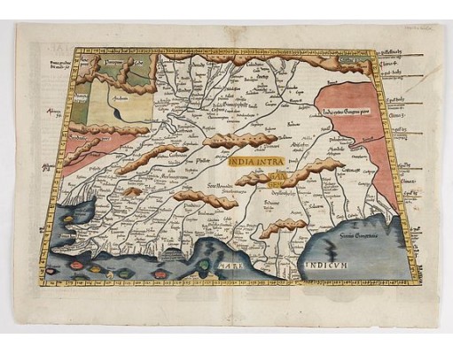
PTOLEMY, C. - Tabula X. Asiae hae sunt e cognitis totius orbis.
 Click on image to zoom

Description
The first issue of this engraving appeared in the 1522 Strasbourg edition of Ptolemy's Geography, followed by subsequent editions in 1525, 1535, and 1541.
The area served many caravan routes in the so-called Silk Road system.
The Silk Route was a major trading pathway through the first millennium B.C. It connected the kingdom of Kamboja, today Afghanistan and Tajikistan, to ancient Pratishthana, Paithan on Godavari towards the south, cities and cultural centers in north India up to Tamralipti or Tamluk on the eastern sea coast.
As regards the northern part of India, the north highway known as Uttarapatha in Gangetic Valley connected the great cities of ancient India, which were Taxila, Mathura, Ahichhatra, Sravasti, Saketa, Kausambi, Prayaga, Kasi, Kusinagara, Vaishali, Pataliputra, Rajgreha, Bodhagaya and Tamralipti, etc. The importance of this sub-continental route in the Mauryan period is evident from the fact that Chandragupta Maurya from Magadh is supposed to have reached the Indus River, where he met Seleucus, the Greek envoy, in 305 B.C.
- Reference N°: 47894
