Provence
Location: 1751
Published: Paris, 1751
Size: 860 x 2850 mm.
Color: Uncoloured.
Condition: Monumental view on 5 sheets joined and laid on linen. Edge lower left missing replaced and carefully redrawn (7 x 9 cm), one tear at left part 20 cm into the engraved area and two tears at right part (6 and 2 cm) into engraved area restored.
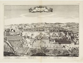
Scarce large and spectacular panorama of the city and harbour of Marseille published in Paris in the middle of the 18th centu..
12,000€
Location: 1780
Published: Padova, c.1780
Size: 358 x 488 mm.
Color: Uncoloured
Condition: In very good condition. Printed on heavy paper. Dark impression.
AMBROSI, Fr. - Marseille. - 28132 - Provence - AMBROSI, Fr. - Marseille. - 28132 - Provence..
2,000€
Location: 1784
Published: Paris, 1784
Size: 655 x 470mm.
Color: In original o/l colours.
Condition:
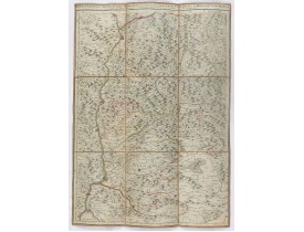
Carte dépliante figurant le Diois, la principauté d'Orange et le Comtat Venaissin...
100€
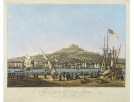
Location: 1830
Published: Paris, Basset, ca. 1830
Size: 327 x 460 mm.
Color: In attactive colours.
Condition: Aquatint. Very good condition.
GARNERAY, A. L. - Vue de la ville et du port de Marseille. Prise de l'hôtel de Ville. - 29043 - Provence towns - GARNERAY, A..
1,100€
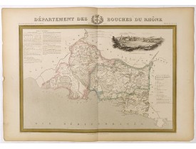
Location: 1841
Published: Paris, M. B. Dusillon, ca. 1841
Size: 480 x 675mm.
Color: In original o/l colors.
Condition: Paper slightly age toned but generally in very good condition. The maps on strong paper. Size of the sheet 560mm x 740mm.
Map of the department of Bouches du Rhône published in "Atlas Général de France", divided by departments by Donnet and Monin,..
250€
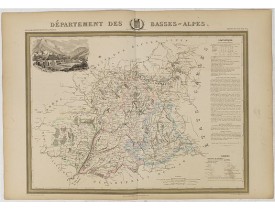
Location: 1841
Published: Paris, M. B. Dusillon, ca. 1841
Size: 480 x 675mm.
Color: In original o/l colors.
Condition: Paper slightly age toned but generally in very good condition. The maps on strong paper. Size of the sheet 560mm x 740mm.
Map of the Basses-Alpes department published in "Atlas Général de France", divided into departments by Donnet and Monin, geog..
300€
Location: 1841
Published: Paris, M. B. Dusillon, ca. 1841
Size: 480 x 675mm.
Color: In original o/l colors.
Condition: Paper slightly age toned but generally in very good condition. The maps on strong paper. Size of the sheet 560mm x 740mm.
Map of the department of Var published in "Atlas Général de France", divided by departments by Donnet and Monin, geographers ..
300€
Location: 1850
Published: France, ca. 1850
Size: 358 x 438mm.
Color: In attactive original colours.
Condition: Folding manuscript map contem. laid down on linen. Size of map 310 x 230mm.
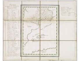
Very detailed manuscript map of the southern part of France. Including Lyon, Nice, Marseilles, Toulouse. Including the Balear..
500€
Location: 1850
Published: Paris, 1850
Size: 175 x 222mm.
Color: In attactive original colours.
Condition: Good condition.
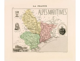
Carte des Alpes Maritimes gravée par Ch. Smith. Ornée des portraits de Garibaldi et de J. Dominique Cassini (tous deux nés à ..
30€
Location: 1852
Published: Paris, A. Combette, 1852
Size: 410 x 285mm.
Color: In original o/l colours.
Condition: Tres bon état. Gravure sur acier avec limites en coloris d'époque, les éléments décoratifs ne sont pas coloriés.
Carte du département des Basses-Alpes. Jeune ingénieur géographe du milieu du XIXe siècle, Victor Levasseur est surtout connu..
50€
Location: 1852
Published: Paris, A. Combette, 1852
Size: 275 x 430mm.
Color: In original o/l colours.
Condition: Tres bon état. Gravure sur acier avec limites en coloris d'époque, les éléments décoratifs ne sont pas coloriés.
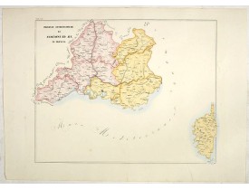
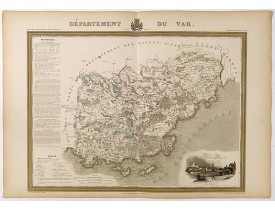
Carte du département du Var. Jeune ingénieur géographe du milieu du XIXe siècle, Victor Levasseur est surtout connu pour son ..
60€
Location: 1858
Published: Rome, 1858
Size: 470 x 610mm.
Color: In attractive original wash colours.
Condition: With original full hand colour, on fine wove paper watermarked ‘Pietro Miliani Fabriano’, size of the sheet 570 x 800 mm.
This large-format Avignon and Aix map is finely engraved and beautifully coloured and was prepared by Girolamo Petri, a law..
250€
Location: 1865
Published: Paris, 1865
Size: 645 x 840mm.
Color: Uncolored
Condition: Dissected in 24 sections, linen mounted, case plan. In good condition.
Folding-map of the Maritime Alps, and the Mediterranean coastline of Fréjus, Ramatuelle, St Tropez, Toulon. Engraved by Erhar..
100€
Location: 1870
Published: Paris, ca. 1870
Size: 500 x 640mm.
Color: In original colours.
Condition:
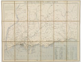
Carte des environs de Nice, de Monaco et de Menton avec l'arrière-pays jusqu'à Levens et Sospel, gravée par Erhard. Accompagn..
80€
Location: 1934
Published: Paris, 1908 corrigé en 1934
Size: 665 x 977mm.
Color: Uncoloured.
Condition: Good margins. Small label pasted on the lower right corner margin. Overall good condition.
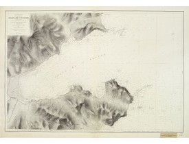
Carte marine détaillée du Golfe de St. Tropez. Gravée par Huguet, E. Biscay and Gorvel et corrigée en 1934. Titre complet : "..
500€


![LEVASSEUR, V. - Dépt. Des Basses-Alpes. N°4. [ Digne ] LEVASSEUR, V. - Dépt. Des Basses-Alpes. N°4. [ Digne ]](https://www.loeb-larocque.com/eshop/image/cache/catalog/image/new_upload/27083-275x210w.jpg)
![LEVASSEUR, V. - Dépt. Du Var. N°80. [Nice, Antibes, St. Tropez] LEVASSEUR, V. - Dépt. Du Var. N°80. [Nice, Antibes, St. Tropez]](https://www.loeb-larocque.com/eshop/image/cache/catalog/image/new_upload/27160-275x210w.jpg)
