Proche - Moyen-Orient général
Location: 1513
Date: Strasbourg, J. Schott, 1513
Format: 365 x 535mm.
Color: Beau col. ancien.
Condition: Wood block print. A small tear in the upper tight-hand margin has been repaired, and the rest is in mint condition.
De 1507 à 1513, Waldseemuller travaille avec son ami Mathias Ringman (1482-1522) à la nouvelle édition latine de la Geographi..
4 500€
Location: 1513
Date: Strasbourg, J. Schott,1513
Format: 365 x 535mm.
Color: Beau col. d'époque.
Condition: Carte gravée sur bois. Magnifique exemplaire en coloris d'époque. - Mint condition.
De 1507 à 1513, Waldseemuller travaille avec son ami Mathias Ringman (1482-1522) à la nouvelle édition latine de la Geographi..
7 000€
Location: 1541
Date: Vienna, 1525 -1541
Format: 310 x 435mm.
Color: In attractive strong period correct colours.
Condition: Paper very little age-toned as usual. Good margins. With letter press and decorated initials on verso. Size of paper 41x55cm.
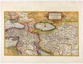
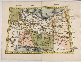
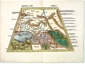
Wood block printed map and one of earliest printed representation of Near East prepared Martin Waldseemüller.Based on the sli..
750€
Location: 1578
Date: Antwerp, 1578
Format: 301 x 509mm.
Color: Col.
Condition: In very good condition.
The Very Rare First State. Turkey/ Holy Land/ Iran/ Iraq/ Arabia/ Afghanistan. A superb example of the rare 1578 edition of t..
4 500€
Location: 1650
Date: Paris, ca 1650
Format: 145 x 165mm.
Color: Limites en col. ancien.
Condition: Very good condition.
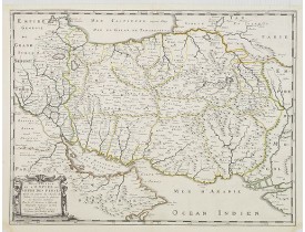
Map of the empire of Persia is shown to extent from Baghdad, almost to the present-day borders of India. Including part of Sa..
300€
Location: 1686
Date: Paris, 1686
Format: 100 x 123mm.
Color: Noir et blanc.
Condition: Map cut on neat line and contemporarily pasted on a larger sheet of paper. Slight marginal browning. Very good and dark impression.
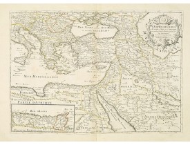
A nice map showing the Turkish Empire, including an inset map of kingdom of Alger. Extending from Italy and the Eastern Medit..
500€
Location: 1783
Date: Paris, 1783
Format: 187 x 450mm.
Color: Col. ancien.
Condition: In good condition. Paper very slightly age-toned.
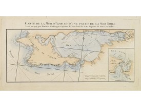
Engraved map of the Crimean Peninsula with the Black Sea and the Sea of Azov in Russia. From the Atlas Volume of "Histoire ph..
300€
Location: 1785
Date: Paris, ca. 1785
Format: 260 x 152mm.
Color: Noir et blanc.
Condition: In very good condition.
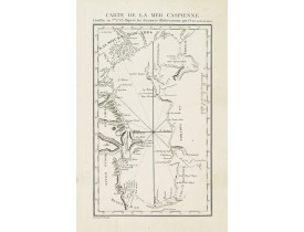
Detailed of the Caspian Sea, prepared by Jean Antoine Guldenstaedt (1745-1781), who was a Russian naturalist and physician, b..
180€
Affichage 1 à 8 de 8 (1 Pages)

![PTOLEMY,C ./ TRECHSEL, G. - [Near East] PTOLEMY,C ./ TRECHSEL, G. - [Near East]](https://www.loeb-larocque.com/eshop/image/cache/catalog/image/new_upload/33849-275x210w.jpg)
