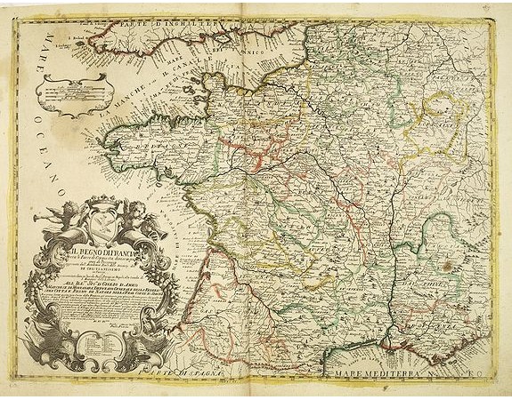
PETRINI, P. - Il regno di Francia con li Paesi di conquista, diviso in gouvernidi Provincia . . .

PETRINI, P. - Il regno di Francia con li Paesi di conquista, diviso in gouvernidi Provincia . . .
Published: Naples, 1700
Size: 433 x 575mm.
Color: In original o/l colours.
Condition: Fine condition, good margins. Slightly light brown spotting. Paper slightly age toned. Old binding slips at center fold on verso.
Description
Rare map of France. Engraved by Andrea Magliar and published by Paolo Petrini. Based on a map of Nicholas De Fer.
This is the second edition of the map, which erased second reference to Petrini the lower part of the title cartouche.
The map was apparently separately issued and often bound into a composite atlas.
Petrini's maps are considered great rarities and are highly collectable.
Pasted on verso is a small map of the region around Paris. (84x95mm.)
300€
- See other items by this publisher: PETRINI, P.
- Reference N°: 31994
2351 views
 Click on image to zoom
