North Africa
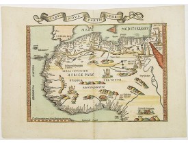
Location: 1535
Published: Lyons, M. Servetus, 1535
Size: 312 x 430mm.
Color: Coloured.
Condition: In very good condition, with wide margins. Paper slightly age-toned. No text on verso.
Based on Waldseemüller's map. Border and ornament are by Hans Holbein and Graf.The maps show Northern Africa as it was known ..
1,500€
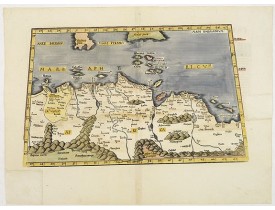
Location: 1541
Published: Vienne, 1541
Size: 288 x 455mm.
Color: Coloured.
Condition: Two eareas ib rifgr and lower left margin reinstalled.
Early map of North Africa..
600€
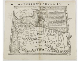
Location: 1571
Published: Basle, Henri Petri, 1571
Size: 260 x 340mm.
Color: Uncoloured.
Condition: Woodcut map with letter press title. Good condition. Size of the sheet 310x 370mm. Latin text on verso. Very fine condition.
Double-page woodcut Ptolemaic-style map by Sebastian Münster figuring Mauritania, present-day Morocco, Algeria, and Tunisia, ..
200€
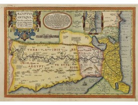
Location: 1595
Published: Anvers, 1595
Size: 359 x 512mm.
Color: Coloured.
Condition: Left and right hand margin contemp. added margins, for protective reason.
A splendid map of ancient Egypt, which appeared in Ortelius' Parergon. The map is based on his separately published map of Eg..
800€
Location: 1630
Published: Amsterdam, 1630
Size: 356 x 482mm.
Color: In original colours.
Condition: A good and strong impression. Paper slightly browned, as usual. Alltogether in very good condition.
One of the new maps added by Hondius, when he took over publication of the Atlas, a finely engraved and decorative map of nor..
800€
Location: 1640
Published: Paris 1640
Size: 348 x 499mm.
Color: In original o/l colours.
Condition: Dark impression. Good condition.
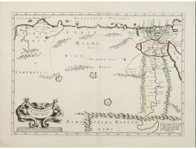
An ecclesiastical map showing the Patriarchate of Alexander in Roman times. Prepared by M.Tavenier and published by Pierre Ma..
200€
Location: 1641
Published: Amsterdam, 1641
Size: 350 x 470mm.
Color: Coloured
Condition: Upper margin cut close. Very minor browning.
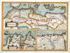
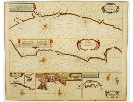
Three maps on one sheet. Upper part, it shows the coast of Barbaria from Morocco to Egypt; the map on the left corner include..
250€
Location: 1644
Published: Amsterdam, 1644
Size: 382 x 500mm.
Color: In attractive strong original colours.
Condition: Dark impression. Very fine condition. French text on verso.
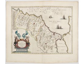
North to the right. Showing the Atlas Mountains in the south to the southern coast of Spain, along the coast at Ceuta, Tangie..
450€
Location: 1655
Published: Amsterdam, 1655
Size: 368 x 515mm.
Color: Uncoloured.
Condition: Good condition. Restoration in lower left of two marginal tears.
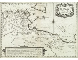
Decorative map of the coastline covering present-day Tunisia and Libya. It is based on Ortelius' map of the same title, which..
250€
Location: 1666
Published: Amsterdam, 1666
Size: 433 x 520mm.
Color: Coloured.
Condition: On double-ply paper as issued. Paper very mildly age-toned, as usual. A good and dark impression.
Six charts on one sheet. The two upper charts covering an area from Cape Blanc to Casablanca. In lower part four insets with..
600€
Location: 1690
Published: Antwerp, c.1690
Size: 105 x 255mm.
Color: Uncoloured.
Condition: Good and dark impression.
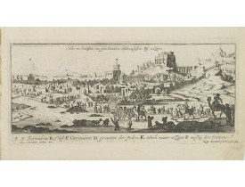
Magnificent bird's eye-town-view of the springs of Marah. Landscape with several small ponds and people collecting water in f..
80€
Location: 1690
Published: Antwerp, c.1690
Size: 104 x 260mm.
Color: Uncoloured.
Condition: Good and dark impression.
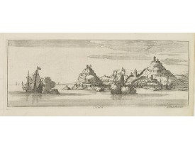
Magnificent bird's eye-town-viewof Ceuta. Etched by Gaspar Bouttats (1640-1695).The Antwerp based publisher Jacques Peeters p..
150€
Location: 1690
Published: Antwerp, c.1690
Size: 95 x 260mm.
Color: Uncoloured.
Condition: Good and dark impression.
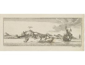
Magnificent bird's eye-town-view of Safi south west of Casablanca in Morocco. Etched by Gaspar Bouttats (1640-1695).The Antwe..
150€
Location: 1692
Published: Anvers, 1692
Size: 95 x 262mm.
Color: Uncoloured.
Condition: In very good condition. Good and dark impression.
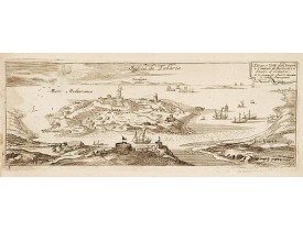
Rare panoramic view of a city on the Northern African coast. Showing the Mediterranean seen from the African coast with "Sard..
50€
Location: 1696
Published: Venice, 1696
Size: 450 x 605mm.
Color: Uncolored
Condition: Dark impression. On heavy paper.
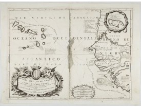
This is a splendid map of the northwestern coast of Africa and the Cape Verde Islands.The map provides details of the various..
600€
Location: 1943
Published: Alger, Bacconnier, 1943
Size: 920 x 610mm.
Color: In attractive printed colours.
Condition: Chromolithography in strong colours. Laid down on canvas for protective reason.
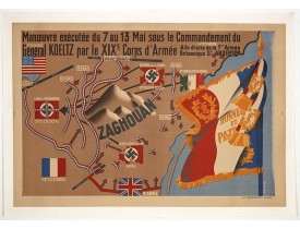
Poster by Gaston Ry [aka René Rostagny] (1902-1978) showing the allied manouvres in Tunesia. On May 4, 1943, the nineteenth ..
750€
You have reached the end of the list.
Showing 1 to 16 of 16 (1 Pages)


