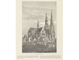
Netherlands
Location: 1718
Published: Amsterdam, 1718
Size: 363 x 425mm.
Color: Uncoloured.
Condition: A good and dark impression.
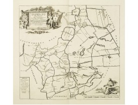
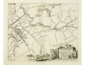
Historical map of the present-day Low Countries prepared by the Menso Alting (1637-1713). He was burgomaster of Groningen and..
250€
Location: 1718
Published: Amsterdam, 1718
Size: 472 x 353mm.
Color: Uncoloured.
Condition: A good and dark impression.
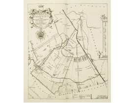
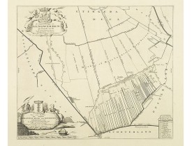
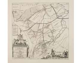
Historical map of the present-day Low Countries prepared by the Menso Alting (1637-1713). He was burgomaster of Groningen and..
250€
Location: 1718
Published: Amsterdam, 1718
Size: 363 x 425mm.
Color: Uncoloured.
Condition: A good and dark impression.
Historical map of the present-day Low Countries prepared by the Menso Alting (1637-1713). He was burgomaster of Groningen and..
250€
Location: 1718
Published: Amsterdam, 1718
Size: 565 x 453mm.
Color: In attactive colours.
Condition: In very good condition.
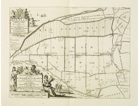
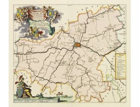
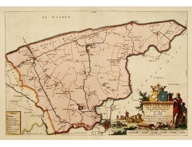
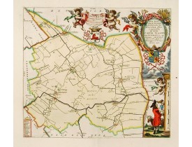
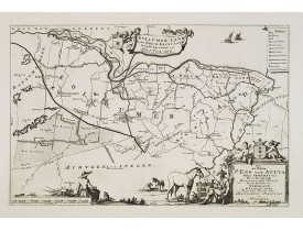
Very decorative map centred on Franeker from the "Uitbeelding der Heerlijkheit Friesland" prepared by Schotanus. With decorat..
500€
Location: 1718
Published: Amsterdam, 1718
Size: 427 x 453mm.
Color: In attactive colours.
Condition: In very good condition.
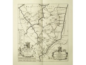
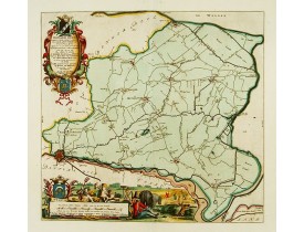
Very decorative map centred on Dokkum, Metzerwier and Pasens from the "Uitbeelding der Heerlijkheit Friesland" prepared by Sc..
400€
Location: 1718
Published: Amsterdam, 1718
Size: 295 x 415mm.
Color: Uncoloured.
Condition: A good and dark impression.
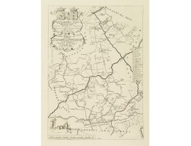
Historical map of the present-day Low Countries prepared by the Menso Alting (1637-1713). He was burgomaster of Groningen and..
150€
Location: 1718
Published: Amsterdam, 1718
Size: 565 x 453mm.
Color: In attactive colours.
Condition: In very good condition.
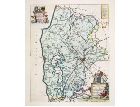
Very decorative map centered on Bolsward from the "Uitbeelding der Heerlijkheit Friesland" prepared by Schotanus. With decora..
300€
Location: 1718
Published: Amsterdam, 1718
Size: 356 x 520mm.
Color: In attactive colours.
Condition: In very good condition.
Very decorative map of the area north of Dokkum from the "Uitbeelding der Heerlijkheit Friesland" prepared by Schotanus. With..
300€
Location: 1718
Published: Amsterdam, 1718
Size: 370 x 425mm.
Color: In attactive colours.
Condition: In very good condition.
Very decorative map centred on Menaam, Marsum and Boxum from the "Uitbeelding der Heerlijkheit Friesland" prepared by Schotan..
300€
Location: 1718
Published: Amsterdam, 1718
Size: 363 x 425mm.
Color: Uncoloured.
Condition: A good and dark impression.
Historical map of the present-day Low Countries prepared by the Menso Alting (1637-1713). He was burgomaster of Groningen and..
300€
Location: 1718
Published: Amsterdam, 1718
Size: 372 x 375mm.
Color: Uncoloured.
Condition: A good and dark impression.
Historical map of the present-day Low Countries prepared by the Menso Alting (1637-1713). He was burgomaster of Groningen and..
200€
Location: 1718
Published: Amsterdam, 1718
Size: 388 x 472mm.
Color: Uncoloured.
Condition: A good and dark impression.
Historical map of the present-day Low Countries prepared by the Menso Alting (1637-1713). He was burgomaster of Groningen and..
250€
Location: 1718
Published: Amsterdam, 1718
Size: 445 x 440mm.
Color: Uncoloured.
Condition: A good and dark impression.
Historical map of the present-day Low Countries prepared by the Menso Alting (1637-1713). He was burgomaster of Groningen and..
150€
Location: 1718
Published: Amsterdam, 1718
Size: 543 x 354mm.
Color: Uncoloured.
Condition: A good and dark impression.
Historical map of the present-day Low Countries prepared by the Menso Alting (1637-1713). He was burgomaster of Groningen and..
200€
Location: 1748
Published: Paris, later than 1748
Size: 158 x 180mm.
Color: In original o/l colours.
Condition: Very crisp and fine image. Good margins. Very good condition.
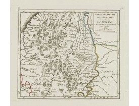
Attractive small map covering the northwestern part of Gelderland. In the center "'t Loo". From Atlas Portatif Universel, by ..
80€
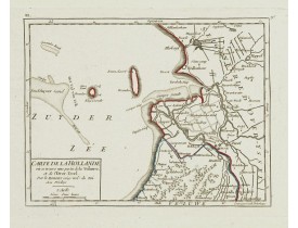
Location: 1748
Published: Paris, later than 1748
Size: 159 x 208mm.
Color: In original o/l colours.
Condition: Very crisp and fine image. Good margins. Very good condition.
Attractive small map centered on the delta of the River Ijssel, where it discharges into the Zuiderzee.From Atlas Portatif Un..
60€
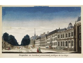
Location: 1750
Published: Paris, ca. 1750
Size: 235 x 367mm.
Color: Original colours.
Condition: So-called optical print. Contemporarily cut on the neat line and margins extended, with a title in manuscript. The mirror-image engraved title still present in top. In good condition.
Showing the Voorhout in The Hague. Likely published by Mondhard, who was a well-known publisher of optical prints, establishe..
150€
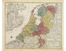
Location: 1770
Published: Augsbourg, 1770
Size: 475 x 578mm.
Color: In attactive original colours.
Condition: Bel exemplaire.
Beau cartouche décoratif surmonté par les armes de Zeeland, Holland, Utrecht, Friesland, Groningen et Overijssel. - T.C. Lo..
600€
Location: 1778
Published: Frankfurt 1623 - 1778
Size: 100 x 145mm.
Color: Uncoloured.
Condition: A good and dark impression. Very good.
View of the castle Loevestein, near Gorinchem.. On the sky, three hands holding a quill, a stone and a stick are depicted. Wi..
60€
Location: 1781
Published: Paris, 1781
Size: 542 x 663 mm.
Color: Uncoloured.
Condition: Mounted on linen, dissected in 15 parts, lined with green silk. Age toned and some foxing.
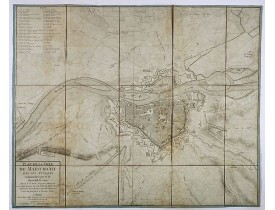
JAILLOT, J. - Plan de la ville de Maestricht avec ses attaques commandées par M. le maréchal de Saxe, depuis le 15 avril jus..
600€
Location: 1790
Published: Paris, 1790
Size: 283 x 480mm.
Color: In original colours.
Condition: Minor discolouration in the upper left corner. Minor spot in the left text panel. Else good condition.
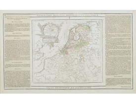
Finely engraved map centred on the Netherlands, extending to include Belgium, northern France and a little of GermanyFinely e..
70€
Location: 1870
Published: Paris, ca. 1870
Size: 800 x 540mm.
Color: In attactive original colours.
Condition: Bel exemplaire sur papier fort.
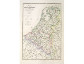
Carte de Belgique et Hollande indiquant Les Routes de Poste avec la Distance entre chaque Relais, les Chemins de Fer, les Riv..
250€
Location: 1874
Published: La Haye, 1874
Size: 860 x 700mm.
Color: In original o/l colours.
Condition: Papier légèrement jauni. - Paper very slightly age toned.
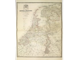
Nieuwe kaart van het Koningrijk der Nederlanden op de schaal van 1 : 400.000. Vervaardigd naar de Topographische en Militaire..
300€
Location: 1880
Published: 'sHertogenbosch 1880
Size: 160 x 260mm.
Color: Uncoloured.
Condition: Wood engraving.
Uncommon print of St.Catharina church of Eindhoven, built by the well-known architect P.Cuijpers. Published in Katholieke Ill..
75€

![MEISNER, D. - Löenstein [Loevestein]. MEISNER, D. - Löenstein [Loevestein].](https://www.loeb-larocque.com/eshop/image/cache/catalog/image/new_upload/13749-275x210w.jpg)
