Arabian Peninsular
The Silk Road extended approximately 6,437 kilometers (4,000 miles) across some of the world’s most formidable landscapes, including the Gobi Desert, the Pamir Mountains and traversed several of Uzbekistan’s major cities, including Samarkand, Bukhara and Khiva. The roads were typically in poor condition. Robbers were common. To protect themselves, traders joined together in caravans with camels or other pack animals. Over time, large inns called caravanserais cropped up to house travelling merchants.
One of the most famous travelers of the Silk Road was Marco Polo (1254 C.E. –1324 C.E.). Born into a family of wealthy merchants in Venice, Italy, Marco traveled with his father to China (then Cathay) when he was just 17 years of age.
It is hard to overstate the importance of the Silk Road on history. Religion and ideas spread along the Silk Road just as fluidly as goods. Towns along the route grew into multicultural cities.
The exchange of information gave rise to new technologies and innovations that would change the world.
The below antique maps are available for immediate sale, they are sold with a certificate of authenticity and published at the date indicated in the catalog description.
One of the most famous travelers of the Silk Road was Marco Polo (1254 C.E. –1324 C.E.). Born into a family of wealthy merchants in Venice, Italy, Marco traveled with his father to China (then Cathay) when he was just 17 years of age.
It is hard to overstate the importance of the Silk Road on history. Religion and ideas spread along the Silk Road just as fluidly as goods. Towns along the route grew into multicultural cities.
The exchange of information gave rise to new technologies and innovations that would change the world.
Antique maps including the Silk Route region
The below antique maps are available for immediate sale, they are sold with a certificate of authenticity and published at the date indicated in the catalog description.
Location: 1541
Published: Vienna, 1525 -1541
Size: 272 x 455mm.
Color: In attractive strong period correct colours.
Condition: Paper very little age-toned as usual. Good margins. With letter press and decorated initials on verso. Size of paper 41x55cm.
Wood block printed map and one of earliest printed representation of the Arabian Peninsular prepared Martin Waldseemüller. Ri..
2,100€
Location: 1575
Published: Bâle, ca. 1575
Size: 280 x 190mm.
Color: Uncoloured.
Condition: Woodblock print with letter press. Paper browned and age-toned. Good impression.
On recto an early representation of a palm tree (73x47 mm). On verso a representation of the city of Mecca (59x63 mm). From a..
30€
Location: 1589
Published: Padua, 1589
Size: 114 x 80mm.
Color: Uncoloured.
Condition: In very good condition.
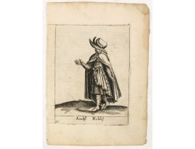
Costume plate published by Pietro Bertelli in his "Diversarum nationum habitus", a sixteenth-century Italian costume book. Th..
60€
Location: 1598
Published: Venice, 1598
Size: 185 x 245mm.
Color: Uncoloured.
Condition: Mint condition. Italian text on verso.
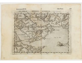
Fine early map of Arabian peninsula, being one of the earliest modern maps of the region.Girolamo Ruscelli first published t..
700€
Location: 1602
Published: Amsterdam, 1602
Size: 85 x 123mm.
Color: Uncoloured.
Condition: A very good and dark impression.
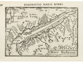
Very fine miniature map including the Red Sea, Yemen, east coast of the Arabian peninsula. One of the early maps to focus on ..
200€
Location: 1606
Published: Amsterdam, Cornelis Claes, 1606
Size: 85 x 122mm.
Color: Uncoloured.
Condition: Very fine condition. Some very light marginal staining. Dark impression.
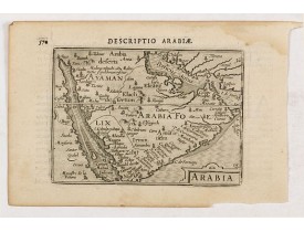
A rare miniature map of the Arabian Peninsular. Title cartouche on the lower right corner.First published in 1598 in his Caer..
400€
Location: 1606
Published: Amsterdam, 1606
Size: 85 x 123mm.
Color: Uncoloured.
Condition: In good condition, light age toning, minor water stains, Latin text on verso. Wide margins, dark impressions.
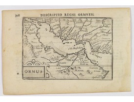
A lovely map of miniature map the Kingdom of Ormus, published by Petrus Bertius, and published in Amsterdam at the beginning ..
425€
Location: 1633
Published: Amsterdam, 1633
Size: 360 x 486mm.
Color: Coloured.
Condition: French text on verso. Strong impression. Wide margins. Some minor age toning. Verso reinforced centerfold.
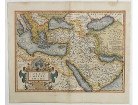
A very decorative map. On top of title cartouche the portrait of Sultan Mahumet Turcorum Imperat ...
1,000€
Location: 1635
Published: Amsterdam, 1635
Size: 145 x 185mm.
Color: Coloured.
Condition: Good condition.
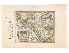
Early map of Turkey, the Arabian peninsula and eastern part of the Mediterranean.From the English edition of Mercator's Atlas..
400€
Location: 1660
Published: Amsterdam, 1660
Size: 472 x 552mm.
Color: In attractive strong original colours.
Condition: Paper very slightly age-toned, generally in good condition.
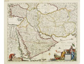
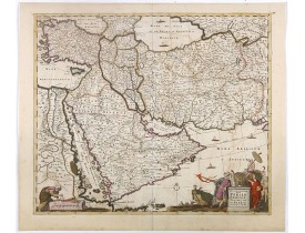
East from Cyprus to Iran with numerous place names and ornamental cartouches below. There are vignettes of sailing ships in s..
750€
Location: 1662
Published: Amsterdam, 1662
Size: 410 x 522mm.
Color: In attractive strong original colours.
Condition: Good and dark impression. Latin text on verso. Repair of split upper margin (not affecting engraved area) and 5cm split in center of centerfold but no paper missing. Paper very slightly age toned. Generally very good.
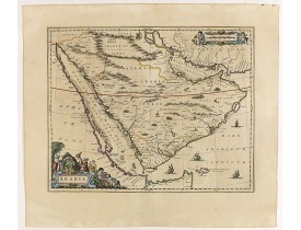
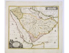
A handsome map of the Arabian Peninsula drawn on a large scale on which the three classical divisions are shown with some urb..
3,000€
Location: 1676
Published: Paris 1676
Size: 101 x 123mm.
Color: Coloured.
Condition: Very good and dark impression.
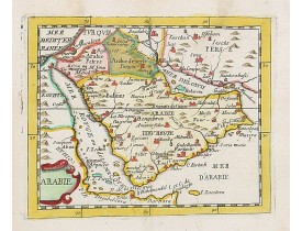
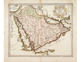
Uncommon miniature map of the Arabian peninsular, from Pierre Duval's La Geographie Universeille dated 1676. Following his Ca..
550€
Location: 1680
Published: Amsterdam, 1680
Size: 470 x 555mm.
Color: In original colours.
Condition: Paper slightly age-toned and some offsetting to oxidation of colour. Laid down on thin Japan paper for protective reason.
This fine map shows the area East from Cyprus to Iran, including The Saudi Peninsula, Red Sea, Nile River, Cyprus, Asia Minor..
750€
Location: 1705
Published: Amsterdam, circa 1705
Size: 480 x 570mm.
Color: In attractive strong original colours.
Condition: A good and dark impression. Repair of a very small tear lower part center fold.
Petrus Schenk's map of the Ottoman Empire, based upon an earlier map by Sanson. Showing from Italy to the Caspian Sea and the..
900€
Location: 1705
Published: Leyde, 1705
Size: 152 x 228mm.
Color: Coloured.
Condition: Wide margins, in very good condition.
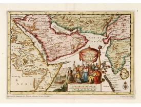
A map of the Arabian Peninsula, India, and Ceylon. The map was intended to illustrate the Dutch Translation of Nuno Da Cunha'..
400€
Location: 1720
Published: Amsterdam, 1720
Size: 591 x 473mm.
Color: In stunning original colours.
Condition: With short upper and lower margin, as issued. Very fine to mint condition.
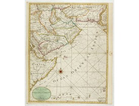
An impressive large sheet chart including the Red Sea, the coasts of Somali, Yemen, east coast of the Arabian peninsula. One ..
1,500€
Location: 1720
Published: Amsterdam, 1720
Size: 430 x 505
Color: In original colours.
Condition: In fine condition, light water stains and marks etc, some minor restoration to centerfold and edge tears. Good impression, decent margins.
A very striking map with a finely decorated title cartouche, published by Valk & Schenk, utilizing Jansson's original pla..
2,700€
Location: 1725
Published: Nuremberg, 1725
Size: 308 x 374mm.
Color: In original colours.
Condition: A good impression. centerfold underlaid for protective reason. Upper left and righthand corner of margin re-inforced.
A very striking map of the ancient Arabian Peninsular, embellished with an coloured pictorial title cartouche...
500€
Location: 1737
Published: Nurnberg, 1737
Size: 482 x 562mm.
Color: In original colours.
Condition: Repair of a very small marginal tear in lower margin. Paper slightly age toned. In good condition.
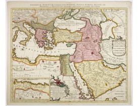
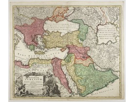
Johann Baptist Homann's well-engraved map of the Turkish Empire shows the journey from Tunis to Arabia, including Greece, Ara..
900€
Location: 1737
Published: Nurnberg, 1737
Size: 485 x 563mm.
Color: Original colours.
Condition: A good and dark impression. Some very light age toning of paper.
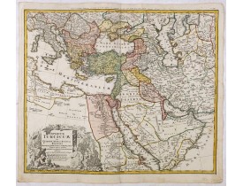
Johann Baptist Homann's well-engraved map of the Ottoman Empire centered on Cyprus. With good detail in the Arabian Peninsula..
475€
Location: 1739
Published: London, 1739
Size: 196 x 246mm.
Color: In original o/l colours.
Condition: Good condition. Printed on heavy paper.
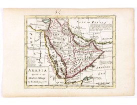
Detailed map of the Arabian Peninsula from the Mediterranean Sea to the Arabian Sea, and western Iran. with an engaging text ..
500€
Location: 1740
Published: Amsterdam, 1740
Size: 290 x 355 mm.
Color: Original colours.
Condition: Wide margins. Mint.
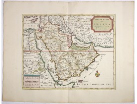
TIRION, I. - Nieuwe kaart van Arabia. - 39132 - Arabian Peninsular - TIRION, I. - Nieuwe kaart van Arabia. - 39132 - Arabian..
1,200€
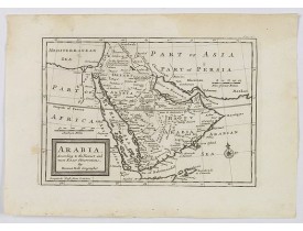
Location: 1750
Published: London, ca 1750
Size: 177 x 256 mm.
Color: Uncoloured.
Condition: In good condition, some light water staining and assorted marks etc to the margins and elsewhere. Dark impression, wide margins.
MOLL, H. - Arabia. According to the Newest and Most Exact Observations. - 43083 - Arabian Peninsular - MOLL, H. - Arabia. Ac..
350€
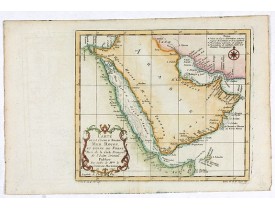
Location: 1750
Published: Paris, ca 1750
Size: 215 x 250mm.
Color: Colored
Condition: In good condition, centerfold as issued, a few plate 'marks' etc. Folded left margin. Paper thinning in places.
A pleasant map of the Arabian Peninsular, the Red Sea and the Gulf region, published in Paris during the mid 18th century. P..
200€

![PTOLEMY,C ./ TRECHSEL, G. - [Arabian Peninsula]. PTOLEMY,C ./ TRECHSEL, G. - [Arabian Peninsula].](https://www.loeb-larocque.com/eshop/image/cache/catalog/image/new_upload/33869-275x210w.jpg)
![MUNSTER, S - Meche [Mekka]. MUNSTER, S - Meche [Mekka].](https://www.loeb-larocque.com/eshop/image/cache/catalog/image/new_upload/14177-275x210h.jpg)
