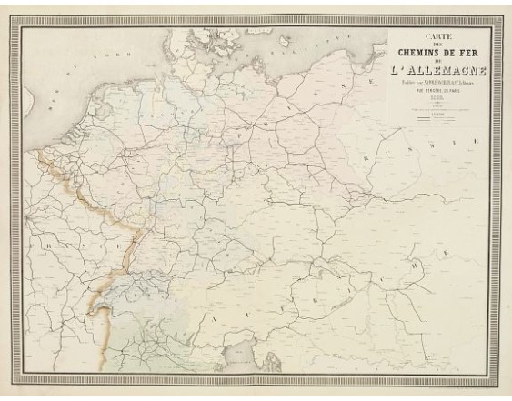
NAPOLEON CHAIX. - Carte des Chemins de fer de l'Allemagne.
 Click on image to zoom

NAPOLEON CHAIX. - Carte des Chemins de fer de l'Allemagne.
Published: Paris, 1863
Size: 630 x 825mm.
Color: Original colours.
Condition: Originally hand-coloured lithography.
Description
A fine map of Germany, the Netherlands, and Eastern Europe shows the early railway system of the area. From "Atlas des Chemins de Fer" published by Napoléon Chaix and printed by "Imprimerie et librairie centrales des chemins de fer de Napoléon Chaix et Cie., rue Bergére 20, prés du blvd Montmartre, Paris.825.
60€
- See other items by this publisher: NAPOLÉON CHAIX.
- Reference N°: 09292
