Maritime
The Silk Road extended approximately 6,437 kilometers (4,000 miles) across some of the world’s most formidable landscapes, including the Gobi Desert, the Pamir Mountains and traversed several of Uzbekistan’s major cities, including Samarkand, Bukhara and Khiva. The roads were typically in poor condition. Robbers were common. To protect themselves, traders joined together in caravans with camels or other pack animals. Over time, large inns called caravanserais cropped up to house travelling merchants.
One of the most famous travelers of the Silk Road was Marco Polo (1254 C.E. –1324 C.E.). Born into a family of wealthy merchants in Venice, Italy, Marco traveled with his father to China (then Cathay) when he was just 17 years of age.
It is hard to overstate the importance of the Silk Road on history. Religion and ideas spread along the Silk Road just as fluidly as goods. Towns along the route grew into multicultural cities.
The exchange of information gave rise to new technologies and innovations that would change the world.
The below antique maps are available for immediate sale, they are sold with a certificate of authenticity and published at the date indicated in the catalog description.
One of the most famous travelers of the Silk Road was Marco Polo (1254 C.E. –1324 C.E.). Born into a family of wealthy merchants in Venice, Italy, Marco traveled with his father to China (then Cathay) when he was just 17 years of age.
It is hard to overstate the importance of the Silk Road on history. Religion and ideas spread along the Silk Road just as fluidly as goods. Towns along the route grew into multicultural cities.
The exchange of information gave rise to new technologies and innovations that would change the world.
Antique maps including the Silk Route region
The below antique maps are available for immediate sale, they are sold with a certificate of authenticity and published at the date indicated in the catalog description.
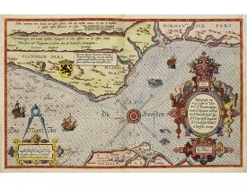
Location: 1585
Published: Leiden, Plantijn, 1585
Size: 325 x 510mm.
Color: Coloured
Condition: Papier uniformément bruni. Bonne condition générale. - Marginal discolouration and paper slightly age-toned. Else good condition.
Rare carte marine représentant les côtes de Flandre, Picardie et Normandie depuis Nieuwpoort jusqu'à Dieppe, avec le texte en..
2,500€
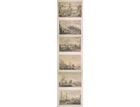
Location: 1655
Published: Florence, 1654 -1655
Size: 245 x 370mm.
Color: Uncolored
Condition: Good impression. Cut short or till neat line, as usual. Collection mark on verso"F Q", Friedrich Quiring (L.1041c).
Sought-after complete suite of 6 engravings by Stefano Della Bella [1610-1664] in a second state (of 2). Della Bella was born..
3,000€
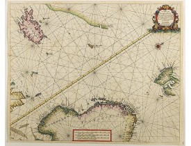
Location: 1666
Published: Amsterdam, 1666
Size: 430 x 540mm.
Color: Uncoloured.
Condition: In good condition.
Detailed pair of sea charts of Norway, Finland, Iceland, Spitsbegen and part of Scotland in old color. The chart includes a d..
1,250€
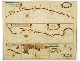
Location: 1666
Published: Amsterdam, 1666
Size: 433 x 520mm.
Color: Coloured.
Condition: On double-ply paper as issued. Paper very mildly age-toned, as usual. A good and dark impression.
Six charts on one sheet. The two upper charts covering an area from Cape Blanc to Casablanca. In lower part four insets with..
600€
Location: 1666
Published: Amsterdam, 1666
Size: 422 x 518mm.
Color: Coloured.
Condition: On double-ply paper as issued. Paper very mildly age-toned, as usual. A good and dark impression.
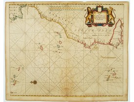
An eye-catching chart of the north western coast of Africa. Including Canary Islands, Cape Verde Islands and Azores. Pieter G..
600€
Location: 1666
Published: Amsterdam, 1666
Size: 445 x 544mm.
Color: Coloured.
Condition: On double-ply paper as issued. Paper very mildly age-toned, as usual. A good and dark impression.
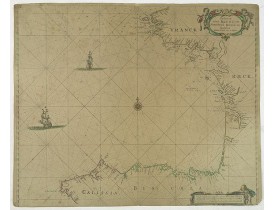
An eye-catching chart of the coast of Bretagne from Brest running south till the coast of Biscay in Northern Spain.Pieter Goo..
600€
Location: 1673
Published: Amsterdam, 1673
Size: 443 x 546mm.
Color: Coloured.
Condition: On double-ply paper as issued. Paper very mildly age-toned, as usual. A good and dark impression.
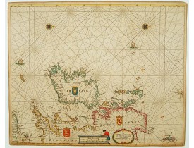
An eye-catching chart of Ireland, including north of England and Scotland, with West to the top. Pieter Goos (ca. 1616-1675) ..
1,350€
Location: 1695
Published: Amsterdam, 1695
Size: 439 x 549 mm.
Color: Coloured.
Condition: Very good condition.
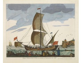
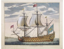
A very decorative engraving of a Turkish vessel. From Mortier's "Neptune François".
From Mortier's famous maritime Atlas "N..
2,000€
Location: 1695
Published: Amsterdam, 1695
Size: 435 x 555 mm.
Color: Coloured.
Condition: Very good condition.
Fine double-page engraved plate of a naval vessel, with the various
parts of the ship numbered and identified. From Mortier..
1,850€
Location: 1782
Published: Paris, ca. 1782
Size: 505 x 675 mm.
Color: Uncoloured
Condition: Very good condition and imprint. Wide margins, a light water stain in upper right margin.
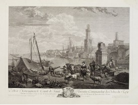
Gravure d'après le tableau de Berghem par Jacques Philippe Le Bas
(Paris, 1707 - 1783), nommé graveur du Cabinet du Roy en ..
450€
Location: 1783
Published: Paris, Nyon, 1783
Size: 200 x 130 mm.
Color: Uncoloured.
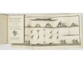
Condition: In-8° XLIII, 240 pp. Contemp. mottled calf, ornate gilt frame, spine richly gilded with green title label.
LE ROY, D. - Les Navires des anciens, considérés par rapport à leurs voiles et à l'usage qu'on en pourroit faire dans notre ..
825€
Location: 1860
Published: Paris, Lemercier, c.1860
Size: 195 x 276mm.
Color: In original colours.
Condition: Lithography on tinted grounds finished by hand. Some light marginal discolouration. Good condition.
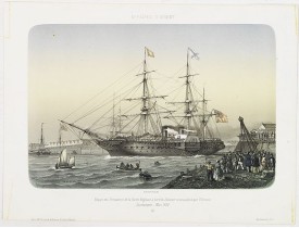
Beautiful lithography of the departure of the British steamboat "l'Orenoco" from Southampton in May 1854, with soldiers leavi..
250€
Location: 1900
Published: c. 1890-1900
Size: 160 x 160mm.
Color: Uncoloured.
Condition: Height of the box: 10 cm
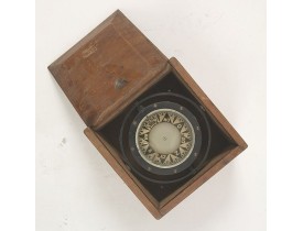
A sloop compass in original box. The compass is gimbaled. The compass works fine...
500€
Showing 1 to 13 of 13 (1 Pages)

