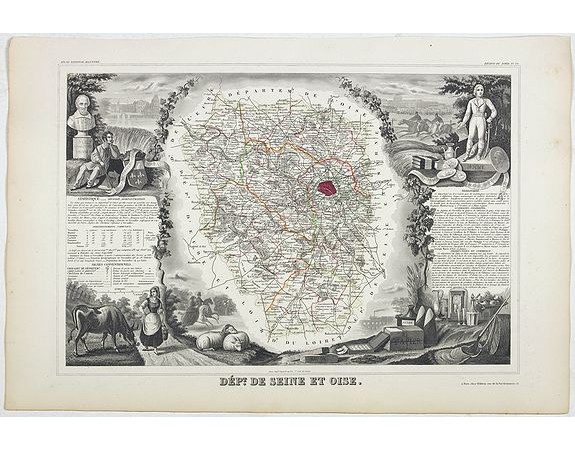
LEVASSEUR, V. - Dépt. De Seine et Oise. N°75.

LEVASSEUR, V. - Dépt. De Seine et Oise. N°75.
Published: Paris, A. Combette, 1852
Size: 290 x 415mm.
Color: In original o/l colours.
Condition: Very good condition. Steel engraved map in original out-line colours, the outer decoration is uncoloured, as issued.
Description
Map of the Seine and et Oise region, including area West of Paris. Including also Versailes, Pontoise, Mantes, etc.
Lovely map from one of the last decorative atlases of the nineteenth century.
The rather simple map is framed by medallion portraits and coats of arms, and is set against a background of scenes of the countryside, products and activities indigenous to the region filling the foreground.
Victor Levasseur's "Atlas National Illustre" and "Atlas Universel Illustre" are among the last great decorative atlases published.
This map comes from the Atlas National Illustre.
100€
- See other items by this publisher: LEVASSEUR, V.
- Reference N°: 44402
2220 views
 Click on image to zoom
