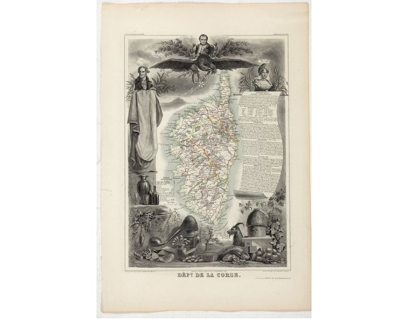
LEVASSEUR, V. - Dépt. De La Corse. N°19.

LEVASSEUR, V. - Dépt. De La Corse. N°19.
Published: Paris, A. Combette, 1852
Size: 410 x 285mm.
Color: Original outline colours.
Condition: In good condition. Steel engraved map in original outline colors. Good margins.
Description
Map of the Corsica island.
Lovely map from one of the last decorative atlases of the nineteenth century.
The rather simple map is framed by elaborate border showing regional costume, produce and local historical figures - dominated here by Napoleon.
Victor Levasseur's "Atlas National Illustré" and "Atlas Universel Illustré" are among the last great decorative atlases published.
This map comes from the Atlas National Illustré.
150€
- See other items by this publisher: LEVASSEUR, V.
- Reference N°: 46577
931 views
 Click on image to zoom
