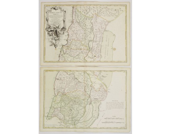
LATTRÉ, J. / DE L'ISLE, G. - Terrae Sanctae Tabula è Scripturae Sacrae..
 Click on image to zoom

LATTRÉ, J. / DE L'ISLE, G. - Terrae Sanctae Tabula è Scripturae Sacrae..
Published: Paris, ca 1783
Size: 685 x 492mm.
Color: In attractive original body colours.
Condition: Printed on heavy paper. Good impression. 1st map: symmetrical brown spots in the lower corners. 2nd map: some discolouration along centerfold. Minor marginal spots.
Description
Map of the Holy Land on both sides of the Jordan, divided among the Tribes and according to the division into provinces at the Roman time. The shore line runs from Sidon as far as Gaza.
Ornated with a decorative title cartouche. Boundaries outlined in hand colour.
A posthumous work of Guillaume de L'Isle, edited by the author's brother.
Ornated with a decorative title cartouche. Boundaries outlined in hand colour.
A posthumous work of Guillaume de L'Isle, edited by the author's brother.
300€
- Reference N°: 24283
