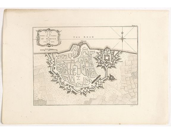
JEFFERYS, Thomas. - Plan of the Town and Citadel of St. Martin in the Isle of Re.

JEFFERYS, Thomas. - Plan of the Town and Citadel of St. Martin in the Isle of Re.
Published: Londres, 1762
Size: 195 x 250mm.
Color: Uncoloured.
Condition: Bel exemplaire à toutes marges.
Description
This print depicts the town and citadel of St. Martin on the French Island, “Isle de Re”.
Thomas Jefferys (1719–1771), "Geographer to King George III", was an English cartographer who was the leading map supplier of his day.
He engraved and printed maps for government and other official bodies and produced a wide range of commercial maps and atlases, especially of North America.
Thomas Jefferys (1719–1771), "Geographer to King George III", was an English cartographer who was the leading map supplier of his day.
He engraved and printed maps for government and other official bodies and produced a wide range of commercial maps and atlases, especially of North America.
300€
- See other items by this publisher: JEFFERYS, Thomas.
- Reference N°: 65002
3056 views
 Click on image to zoom
