Italie
Location: 1768
Date: Paris, 1768
Format: 567 x 860mm.
Color: Col.
Condition: A few mainly marginal wormholes filled in. In very good condition.
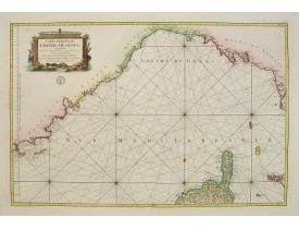
Detailed map publishedd by the French Marine and prepared by N.Sanson. Covering the coasts of the French and Italian Riviera'..
750€
Location: 1790
Date: Naples, 1790
Format: 550 x 805mm.
Color: Noir et blanc.
Condition: Very good condition. Printed on heavy paper. Short left and right margins, as usual. Dark impression.
Stunning plan of Naples, prepared by Rizzi-Zannoni and engraved by Giuseppe Guerra from Naples. To the right and left a key t..
1 500€
Location: 1800
Date: [Paris, chez l'Auteur], ca.1800
Format: 770 x 570mm.
Color: Beau col. ancien.
Condition: Carte divisée en 16 segments montés sur toile. Bel exemplaire en coloris d'origine qui a conservé toute sa fraicheur.
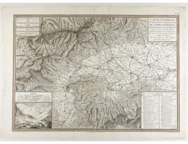
Carte du nord de l'Italie avec la Corse faisant partie de la "Carte générale de l'Italie et de la côte orientale de la mer Ad..
300€
Location: 1800
Date: ca. 1790-1800
Format: 512 x 695mm.
Color: Col. ancien.
Condition: Contemporary extention of a 3.5 cm strip of paper upper portion of map. Several repaired tears lower left and right margin. Two 1 cm centerfold tears into Ligurian sea portion of map that is not engraved. Else good condition. A fine ink and aquarelle manuscript.
French manuscript map of the Ligurian coast fom Pietra and Finale, Savone to Genova with the Maritime Alps in the background...
3 500€
Location: 1803
Date: Paris, 1803
Format: 443 x 630mm.
Color: Noir et blanc.
Condition: Paper slightly age-toned. Good impression.
Very detailed map centered on the Italian Alps showing the marches, positions, combats and battles of the famous Napoleon's c..
700€
Location: 1808
Date: 1808
Format: 475 x 635mm.
Color: Limites en col. d'époque.
Condition: Carte en 4 feuilles non jointes. Dimensions pour chaque feuille : 47,5 x 63,5 cm. Rousseurs éparses principalement dans les marges.
Carta delle stazioni militari, navigazione e poste del Regno d'Italia eseguita nel deposito generale della guerra per ordine ..
800€
Location: 1811
Date: Paris, 1790-1811
Format: 490 x 610mm.
Color: Limites en col. d'époque.
Condition: Petites déchirures dans la partie supérieure de la carte.
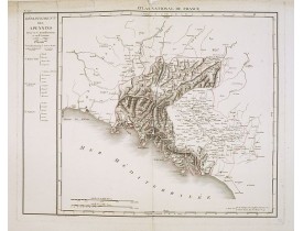
Publié dans l'"Atlas National de France" chez Chanlaire. Gravé par P.A.F. Tardieu. Représente le département des Apennins qui..
100€
Location: 1811
Date: Paris, 1790-1811
Format: 520 x 615mm.
Color: Limites en col. d'époque.
Condition: Petites déchirures dans la partie supérieure de la carte.
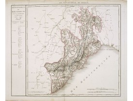
Publié dans l'"Atlas National de France" chez Chanlaire. Gravé par P.A.F. Tardieu. Représente le département de Montenotte, n..
100€
Location: 1816
Date: Paris, Dépôt Général de la Guerre, 1816
Format: 590 x 990mm.
Color: Limites en col. ancien.
Condition: Folding map dissected in 48 sections, mounted on linen. Green paper slip-case, rubbed. Else very good condition.
Map extending west to east from Monaco to Otranto and north to south from The Alps to Malta, inset map of Greece. llustrated ..
1 000€
Location: 1818
Date: Venice, 1818
Format: 470 x 540mm.
Color: Limites en col. ancien.
Condition: A good and dark impression. Some very minor discolouration.
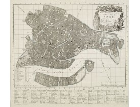
Precise bird's-eye view of Venice, clearly depicting the city's architectural landmark. At bottom center a extensive key to l..
1 000€
Location: 1839
Date: Florence, Gaspard Ricci, 1839
Format: 192 x 120 mm.
Color: Limites en col. ancien.
Condition: 8vo. (1), 288 pp. Original publisher's paperboard. With 1 engr. folding plan and 12 copper plates with views in Florence. Very clean copy.
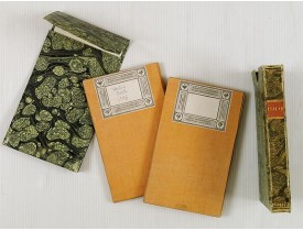
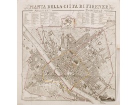
Second edition. With 1 engr. folding plan (Pianta della Citta di Firenze. I. Balatri inc. e scris.) and 12 copper plates with..
500€
Location: 1840
Date: Venise, 1840
Format: 315 x 440mm.
Color: Beau col. ancien.
Condition: Printed on heavy paper. Mint condition.
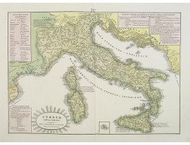
A rare and detailed double-page map of ancient Italy. According to the title cartouche, prepared by A de La Sage for l'Atlant..
100€
Location: 1845
Date: Florence 1845
Format: 530 x 670mm.
Color: Col.
Condition: Very good condition.
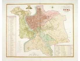
Published in "Atlante Geografico dell' Italia". Uncommon and decorative plan of Rome. With a numbered key. Engraved by P.Man..
600€
Location: 1845
Date: Florence, 1845
Format: 533 x 665mm.
Color: Col.
Condition: Very good condition.
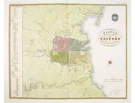
Published in "Atlante Geografico dell' Italia". Uncommon and decorative plan of Palermo. With a numbered key. Engraved by P...
450€
Location: 1845
Date: Florence, 1845
Format: 670 x 570mm.
Color: Col.
Condition: Very good condition.
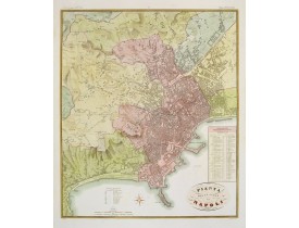
Published in "Atlante Geografico dell' Italia". Uncommon and decorative plan of Napels. With a numbered key. Engraved by P.M..
500€
Location: 1850
Date: Paris, ca. 1850
Format: 283 x 436mm.
Color: Col. ancien.
Condition: Colour lithography. Good and dark impression. Good condition.
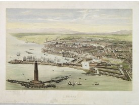
A bird's eye view of the port city of Livorno or (in English) Leghorn on the Tyrrhenian Sea on the western edge of Tuscany. D..
250€
Location: 1860
Date: Rome 1860
Format: 520 x 336mm.
Color: Col.
Condition: In very good condition.
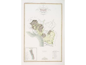
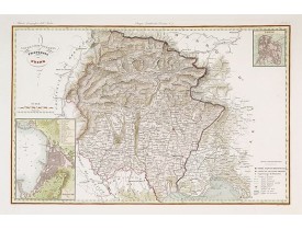
Very finely engraved and detailed map of the territory of Pisa, including the Duche of Lucca and Estense. Lower left corner, ..
250€
Location: 1860
Date: Rome 1860
Format: 520 x 336mm.
Color: Col.
Condition: In very good condition.
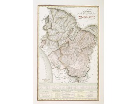
Very finely engraved and detailed map of the Duche of Lucca. Lower left part of the map, two inset lists of the mountains hei..
250€
Location: 1860
Date: Rome 1860
Format: 336 x 522mm.
Color: Col.
Condition: In very good condition.
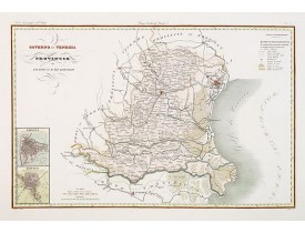
Very finely engraved and detailed map of the government of Venice. Lower left corner, two inset plans of Padova and Rovigo. U..
250€
Location: 1860
Date: Rome 1860
Format: 337 x 523mm.
Color: Col.
Condition: In very good condition.
Very finely engraved and detailed map of the government of Venice, centered on the province of Udine. Lower left corner an in..
250€
Location: 1860
Date: Rome, 1860
Format: 520 x 336mm.
Color: Col.
Condition: Parfait état. - In very good condition.
Carte de la province de Valsesia et de Vercelli ornée de 2 cartons comprenant les plans des villes de Vercelli et Varallo. Gr..
200€
Location: 1860
Date: Venice, 1860
Format: 300 x 420mm.
Color: Col. ancien.
Condition: Lithography in attractive original colour, heightened with gum-Arabic. Good condition. Some staining in outer margins. Paper size 300x420mm.
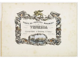
Decorative title page with in the lower part small inset view of Doge Palace, St. Marco and a gondola...
50€
Location: 1860
Date: Rome, 1860
Format: 520 x 336mm.
Color: Col.
Condition: Parfait état.
Carte de la province de Novarra et de Lomellina ornée de 2 cartons comprenant les plans des villes de Novara et Mortara. Grav..
250€
Location: 1860
Date: Rome 1860
Format: 520 x 336mm.
Color: Col.
Condition: In very good condition.
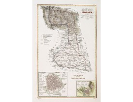
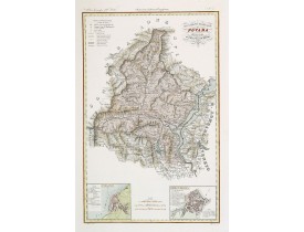
Very finely engraved and detailed map of the province of Novara. Lower corners, two inset plans of Pallanza and Ossola. Upper..
250€


![CHANLAIRE, P-G. - [Italie du nord / golfe de Venise avec l'Istrie / golfe de Gênes /Toscane / Ile de Corse ]. CHANLAIRE, P-G. - [Italie du nord / golfe de Venise avec l'Istrie / golfe de Gênes /Toscane / Ile de Corse ].](https://www.loeb-larocque.com/eshop/image/cache/catalog/image/new_upload/64995-275x210h.jpg)
![ANONYME. - [Manuscript map of the Ligurian coast fom Pietra to Genova]. ANONYME. - [Manuscript map of the Ligurian coast fom Pietra to Genova].](https://www.loeb-larocque.com/eshop/image/cache/catalog/image/new_upload/26627-275x210w.jpg)
