Inde
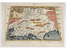
Location: 1525
Date: Lyons, M. Servetus, 1525
Format: 295 x 470mm.
Color: Col.
Condition: Paper slightly age-toned and browned. Altogether in good condition for such an early map.
This is the earliest printed representation of India west of the Ganges River in Ptolemy's time. It is an important map of so..
1 000€
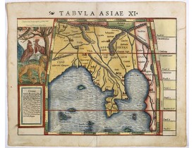
Location: 1552
Date: Basle, H. Petri, c. 1552
Format: 305 x 357mm.
Color: Col.
Condition: Wood cut block, with Latin text on verso. Paper slightly age toned. Repair of split lower part centerfold just affecting the scale border.
Attractive early woodblock map of the Indian Ocean, extending from Southeast Asia to the Ganges River and north to the Himala..
550€
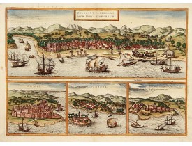
Location: 1577
Date: Cologne, (1572) 1577
Format: 338 x 474mm.
Color: Col.
Condition: In good condition.
Four very desirable and early town-plans of Kozhikode, Hormuz, Kannur and Almina. "KOZHIKODE (CALICUT) : "The city is viewed..
750€
Location: 1580
Date: Cologne, 1580
Format: 335 x 480mm.
Color: Beau col.
Condition: 4 vues grav. sur le même cuivre. Texte latin.
Four panoramic views on one sheet: the upper approximately two-thirds of this double page sheet contains a fine panoramic vie..
800€
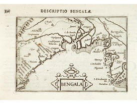
Location: 1602
Date: Amsterdam, 1602
Format: 84 x 124mm.
Color: Noir et blanc.
Condition: Belle impression.
Very fine early miniature map of Bangladesh, River Ganges and Calcutta named "Calecota", printed by Cornelis Claesz. In Amste..
110€
Location: 1609
Date: Frankfurt, 1609
Format: 140 x 185mm.
Color: Noir et blanc.
Condition: Text sheet with copper plate engraving with letter press in Latin. In very good condition, dark impression.
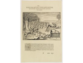
Hunting. Theodore de Bry, a German engraver and book dealer, began a compilation of early voyages in 1590 and had published s..
115€
Location: 1609
Date: Frankfurt, 1609
Format: 138 x 186mm.
Color: Noir et blanc.
Condition: Text sheet with copper plate engraving with letter press in Latin. In very good condition, dark impression.
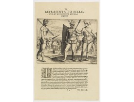
This shows how the men go to war and which weapons they use. They hold large square shields, about six feet high and four fee..
80€
Location: 1613
Date: Frankfurt, 1613
Format: 383 x 430mm.
Color: Noir et blanc.
Condition: Lower margin and lower part left margins cut on neatline, as issued. On verso piece of paper pasted to back vertical tear, 12cm. Into the engraved area.
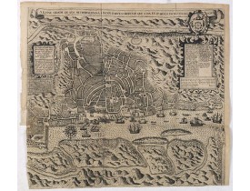
One of the earliest printed detailed plans of a European trading post in the Indies, this finely engraved and designed bird's..
750€
Location: 1644
Date: Amsterdam, 1644
Format: 418 x 520mm.
Color: In original colours.
Condition: Restored tear in the lower margin, else in good condition. With wide margins. French text on verso.
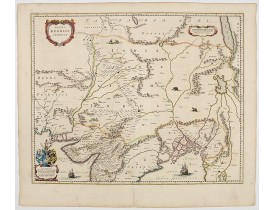
An attractive map of the region from Iran through Afghanistan, Tibet, and northern India across to Burma. The travel route fr..
300€
Location: 1702
Date: Paris, 1702
Format: 184 x 270mm.
Color: Limites en col. ancien.
Condition: Good impression. Two maps printed on a double page. Wide margins. Mint.
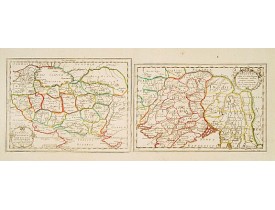
Two maps together on one sheet. The first depicts ancient Persia and the second north India from the gulf of Bengal to the bo..
350€
Location: 1705
Date: Leyde, 1705
Format: 152 x 228mm.
Color: Noir et blanc.
Condition: Wide margins, in very good condition.
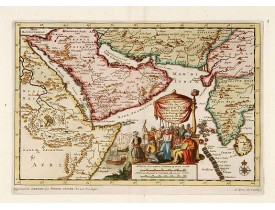
A map of the Arabian Peninsula, India, and Ceylon. The map was intended to illustrate the Dutch Translation of Nuno Da Cunha'..
400€
Location: 1712
Date: Amsterdam, after 1669-1712
Format: 434 x 520mm.
Color: Noir et blanc.
Condition: Paper slightly age-toned. With some plate scratching and ink toning.
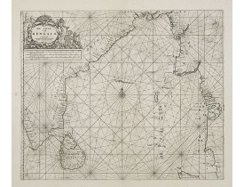
Rare chart of the Indian Ocean, with compass roses and system of rhumb lines, soundings and anchorage's. Many place names. T..
1 900€
Location: 1719
Date: Leiden, 1719
Format: 283 x 355mm.
Color: Noir et blanc.
Condition: Some minor discolouration along center fold, generally in good condition with good margins.
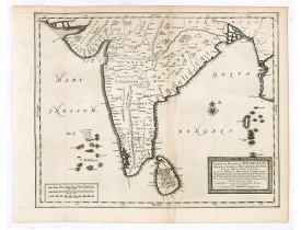
Detailed map of the Southern part of India with Ceylon. Good detail along the coasts of Malabar, Coromandel, the Maldives isl..
375€
Location: 1719
Date: Leiden, 1719
Format: 323 x 452mm.
Color: Noir et blanc.
Condition: Very good condition. Dark impression.
A fine example of a rare plan of this important Indian city and port, the focal point for Portuguese trading activity in sout..
400€
Location: 1720
Date: Amsterdam, 1720
Format: 370 x 432mm.
Color: Noir et blanc.
Condition: Some light browning along center fold. Very good impression.
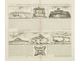
Interesting sheet with seven detailed views illustrating the most important Dutch trading outposts and fortified colonial pos..
150€
Location: 1726
Date: Amsterdam, 1726
Format: 273 x 360mm.
Color: Noir et blanc.
Condition: Folds as issued. Dark impression. In very good condition.
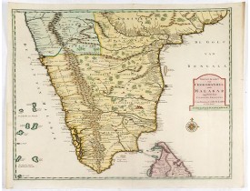
Fine map depicting the southern part of India and the northern tip of Ceylon. Much detail is given along the coastlines, sett..
675€
Location: 1760
Date: Paris, ca 1760
Format: 298 x 355mm.
Color: Limites en col. ancien.
Condition: In very good condition. Size of sheet 298 x 355mm.
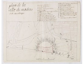
Manuscript map, in black, brown and red ink, showing the fortifications of the city of Madras, now Chennai, on the east coast..
1 900€
Location: 1765
Date: Paris, 1765
Format: 250 x 387mm.
Color: Limites en col. ancien.
Condition: Pen and ink on paper. In very good condition.
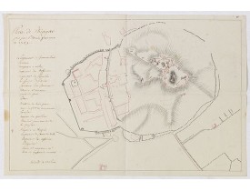
An early manuscript map of Gingy shortly after The Seven Years War, when the French took possession of large part of India.Wi..
1 400€
Location: 1769
Date: Paris, 1769
Format: 250 x 382mm.
Color: Limites en col. ancien.
Condition: Pen and ink on paper. In very good condition.
An early manuscript map of Thiagar. With an extensive unfinished key to the left. The map was drawn shortly after the end of ..
700€
Location: 1773
Date: Amsterdam, 1773
Format: 223 x 240mm.
Color: Limites en col. ancien.
Condition: Minor spotting upper margin, hardly noticeable. Good condition.
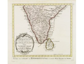
Uncommon edition of this fine map of India.In lower right engraved "4b."From Atlas Portatif pour servir a l'intelligence de l..
200€
Location: 1775
Date: Paris, ca 1775
Format: 480 x 660mm.
Color: Noir et blanc.
Condition: Pâle mouillure dans la marge inférieure de l'Océan oriental, pâle mouillure et petite tache brune sur la carte de Mahé (335 x 485 mm). Cartes manuscrites (à la plume) des Seychelles et de Praslin au verso des cartes.
Cartes publiées par D'Après de Mannevillette dans son "Neptune oriental". Au verso de la carte de l'Océan oriental, une carte..
800€
Location: 1791
Date: Venice, 1791
Format: 420 x 320mm.
Color: Col. ancien.
Condition: A few small worm holes and light discolouration in center fold. Generally in good condition.
Fine map of India including Sri Lanka...
200€
Affichage 1 à 22 de 22 (1 Pages)


![BRAUN, G. / HOGENBERG, F. - Calechut Celeberrimum Indiae Emporium [on sheet with] Ormus [and] Canonor [and] S. Georgii Oppidum Mina. BRAUN, G. / HOGENBERG, F. - Calechut Celeberrimum Indiae Emporium [on sheet with] Ormus [and] Canonor [and] S. Georgii Oppidum Mina.](https://www.loeb-larocque.com/eshop/image/cache/catalog/image/new_upload/41525-275x210w.jpg)

![ANONYME - Plan de Gingy, ville et forteresse d'Asie . . . [An Early Manuscript Map of Pondicherry Prior To Its Reconstruction After The Seven Years War.] ANONYME - Plan de Gingy, ville et forteresse d'Asie . . . [An Early Manuscript Map of Pondicherry Prior To Its Reconstruction After The Seven Years War.]](https://www.loeb-larocque.com/eshop/image/cache/catalog/image/new_upload/43006-275x210w.jpg)
![APRES DE MANNEVILLETTE, J-B. N. d'. - [Seychelles].Carte réduite de l'Océan Oriental Septentrional … avec les Isles de Ceylan, Maldives et Laquedives [ au verso carte manuscrite des Seychelles]/ Plan des Isles Mahé [ au verso carte manuscrite de Praslin]. APRES DE MANNEVILLETTE, J-B. N. d'. - [Seychelles].Carte réduite de l'Océan Oriental Septentrional … avec les Isles de Ceylan, Maldives et Laquedives [ au verso carte manuscrite des Seychelles]/ Plan des Isles Mahé [ au verso carte manuscrite de Praslin].](https://www.loeb-larocque.com/eshop/image/cache/catalog/image/new_upload/63857-275x210w.jpg)
