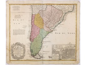
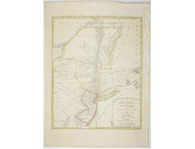
HOMANN HEIRS.
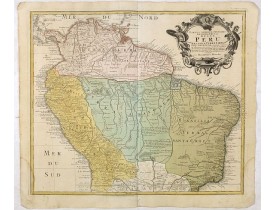
Location: 1728
Published: Nuremberg, 1728
Size: 480 x 560mm.
Color: Original colours.
Condition: A good and dark impression. Worm trace in lower margin, close to center fold. Repair of tear lower part center fold. Some age toning of paper. Good condition.
A good and clean copy of Homann's map of the northern part of South America. The map is on the Valley of the Amazon and delin..
350€
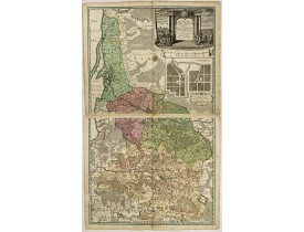
Location: 1735
Published: Nuremberg, 1735
Size: 966 x 585mm.
Color: In original colours.
Condition: Two sheet map in full original body colour, if assembled 966 x 585mm.
Large 2-sheet map of an area of Lithuania and Eastern Prussia (Russian province of Kaliningrad) stretching from Klaipeda (Mem..
1,350€
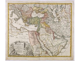
Location: 1737
Published: Nurnberg, 1737
Size: 485 x 563mm.
Color: Original colours.
Condition: A good and dark impression. Some very light age toning of paper.
Johann Baptist Homann's well-engraved map of the Ottoman Empire centered on Cyprus. With good detail in the Arabian Peninsula..
475€
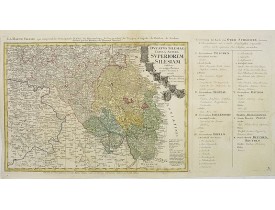
Location: 1750
Published: Nuremberg, 1750
Size: 395 x 810mm.
Color: In original o/l colours.
Condition: Light water staining in upper margin. Printed on heavy paper. The map : 395x550mm.
Detailed map of the South eastern part of Silesia, centered on Opole, with title cartouche including coat-of-arms of Teschen,..
200€
Location: 1750
Published: Nuremberg, 1750
Size: 478 x 562mm.
Color: Coloured.
Condition: A good and dark impression. Worm trace in lower margin, close to center fold. Repair of tear lower part center fold. Some age toning of paper. Good condition.
Detailed map covering the southern part of the continent based on the cartography of Delisle and the information gleaned from..
250€
Location: 1778
Published: Augsbourg, 1778
Size: 720 x 568mm.
Color: Coloured.
Condition: Very good condition.
This map afforded British commanders during the Revolution an excellent overview of areas that would be crucial in the early ..
1,500€
Showing 1 to 6 of 6 (1 Pages)
 Click on image to zoom

