Holy Land
The Silk Road extended approximately 6,437 kilometers (4,000 miles) across some of the world’s most formidable landscapes, including the Gobi Desert, the Pamir Mountains and traversed several of Uzbekistan’s major cities, including Samarkand, Bukhara and Khiva. The roads were typically in poor condition. Robbers were common. To protect themselves, traders joined together in caravans with camels or other pack animals. Over time, large inns called caravanserais cropped up to house travelling merchants.
One of the most famous travelers of the Silk Road was Marco Polo (1254 C.E. –1324 C.E.). Born into a family of wealthy merchants in Venice, Italy, Marco traveled with his father to China (then Cathay) when he was just 17 years of age.
It is hard to overstate the importance of the Silk Road on history. Religion and ideas spread along the Silk Road just as fluidly as goods. Towns along the route grew into multicultural cities.
The exchange of information gave rise to new technologies and innovations that would change the world.
The below antique maps are available for immediate sale, they are sold with a certificate of authenticity and published at the date indicated in the catalog description.
One of the most famous travelers of the Silk Road was Marco Polo (1254 C.E. –1324 C.E.). Born into a family of wealthy merchants in Venice, Italy, Marco traveled with his father to China (then Cathay) when he was just 17 years of age.
It is hard to overstate the importance of the Silk Road on history. Religion and ideas spread along the Silk Road just as fluidly as goods. Towns along the route grew into multicultural cities.
The exchange of information gave rise to new technologies and innovations that would change the world.
Antique maps including the Silk Route region
The below antique maps are available for immediate sale, they are sold with a certificate of authenticity and published at the date indicated in the catalog description.
Location: 1493
Published: Nuremberg, 12 July 1493
Size: 360 x 225mm.
Color: Uncoloured.
Condition: Letter press with wood block prints. Size of the sheet : 360x225mm. Dark impression on large sheet. Some marginal staining, generally in good condition.
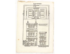
The Latin text page is illustrated with on recto and verso depictions of the visionary Temple of Ezekiel. Kings.Page from the..
200€
Location: 1493
Published: Nuremberg, 12 July 1493
Size: 460 x 325 mm.
Color: Coloured.
Condition: 2 Wood cuts. Some usual minor age-toning along the centerfold. A few stitch holes filled in. Very good.
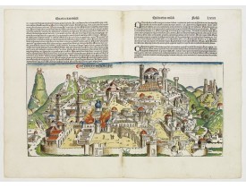
A dramatic woodcut that synopsizes the six destruction's of Jerusalem (255x528mm) and on verso a illustration of a punishment..
3,000€
Location: 1572
Published: Anvers, 1572
Size: 330 x 505mm.
Color: Uncoloured
Condition: Paper slightly age-toned, several small wormholes throughout: a good and dark impression.
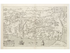
Map of Canaan at the times of Abraham and before the conquest by the Children of Israel, with the neighboring regions. Orient..
1,800€
Location: 1582
Published: Cologne, 1582
Size: 350 x 519mm.
Color: Coloured.
Condition: Paper slightly browned. Good impression. Good condition. French text on verso.
Two bird's eye perspectives on one sheet. The left plan shows ancient Jerusalem at the time of Christ. A contemporary view of..
1,000€
Location: 1582
Published: Cologne, 1582
Size: 367 x 418mm.
Color: In original o/l colours.
Condition: Paper slightly age toned. Good condition.
A beautifully executed and very rare map of the Promised Land, divided into the 12 Tribes. The shore line runs in north-south..
4,000€
Location: 1588
Published: Bâle, c.1588
Size: 305 x 358mm.
Color: Coloured.
Condition: Wood cut map. Paper slightly age toned, as usual. Alltogether a fine impression.
A famous wood block map of the Near East, including Cyprus, Palestine, Iran and Irak, etc. From his "Cosmographia", that grea..
450€
Location: 1590
Published: Anvers, 1590
Size: 367 x 505mm.
Color: Coloured.
Condition: A good and dark impression.
This is the most "modern" of Ortelius' maps of the Holy Land. It focuses specifically on the Holy Land and is oriented with e..
1,600€
Location: 1593
Published: Antwerp, 1572 / Leiden, 1593
Size: 330 x 505mm.
Color: Noir et blanc
Condition: A good and dark impression. Short margins, as issued. Remains of an old horizontal fold, hardly visible.
Map of Canaan at the times of Abraham and before the conquest by the Children of Israel, with the neighboring regions. Orient..
1,800€
Location: 1624
Published: Antwerp, 1624
Size: 357 x 466mm.
Color: Original colors
Condition: Very good. Strong impression. Wide margins. Heavy age-toned paper. Some minimal foxing not affecting the image. Verso: Latin.
The Holy Land map itself occupies the center and is surrounded by vignettes of the life of the Patriarch Abraham. Extremely d..
2,800€
Location: 1625
Published: Holland, ca. 1625
Size: 280 x 380mm.
Color: Uncoloured.
Condition: Paper slightly browned. Marginal worm holes in upper centerfold. Else good condition.
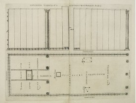
Two engravings on one sheet. In top the walls and in bottom the structure of the tabernacle itself. The gate (on the right) l..
30€
Location: 1640
Published: Amsterdam, 1640
Size: 380 x 520mm.
Color: Coloured.
Condition: Repair of split lower part centerfold. Paper washed, some minor age-toning.
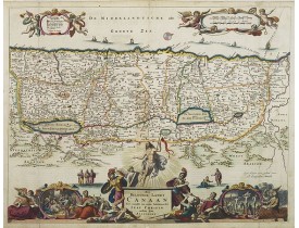
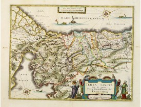
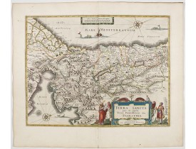
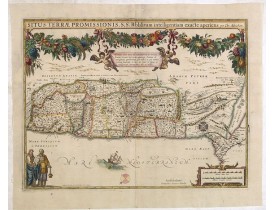
Orientated west to the top. The decoration is inspired by the Old Testament. Moses stands to the left of the cartouche, Aaron..
1,200€
Location: 1644
Published: Amsterdam, 1644
Size: 381 x 498mm.
Color: In attractive strong original colours.
Condition: A good and dark impression. In excellent condition. French text on verso.
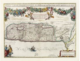
The Holy Land, Promised Land or Palestine. Oriented to the west. Shows the entire Palestine on both sides of the Jordan, the ..
900€
Location: 1645
Published: Amsterdam, 1645
Size: 370 x 492mm.
Color: In attractive original colours.
Condition: In mint condition.
Superb map of the Holy Land, after Adrichom, with north oriented to the left. It is finely engraved with numerous biblical sc..
1,300€
Location: 1662
Published: Amsterdam, Janssonius, 1662
Size: 437 x 706 mm.
Color: Coloured.
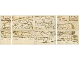
Condition: Six part map of the Holy Land, here still unjoined on 7 sheets.
HORNIUS, G. - Hornius Map of the Holy Land, Israel, and Palestine - 43037 - Holy Land - HORNIUS, G. - Hornius Map of the Hol..
3,000€
Location: 1665
Published: Amsterdam, 1665
Size: 372 x 500mm.
Color: Coloured.
Condition: Repair of split along center fold, hardly notable. Paper slightly toned.
Superb map with north oriented to the left. It is finely engraved with numerous biblical scenes including the Exodus, the wan..
600€
Location: 1673
Published: Antwerpen, Michiel Cnobbaert, 1673
Size: 185 x 125mm.
Color: Uncoloured.
Condition: Good and dark impression. Letter press with copper engraving.
Taken from a very rare travel book by Anthonius Gonsales, "Hierusalemsche Reyse". The book describes his pilgrimage from Antw..
50€
Location: 1682
Published: Amsterdam, 1682
Size: 355 x 462mm.
Color: In original colours.
Condition: In stunning original colours. Cartouches hightened with gold. Repair of split lower part centerfold, expertly done.
A beautifully engraved map of the ancient land of Canaan which roughly corresponds to present-day Israel. Cherubs hold up a d..
950€
Location: 1720
Published: Paris, 1720
Size: 475 x 362mm.
Color: In original o/l colours.
Condition: Traces of humidity on top, along the title. 2 faint brown spots in the lower left corner, affecting the text. Worm holes in the lower right corner, affecting the border frame. Short margins.
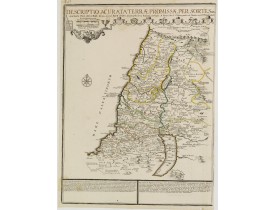
Rare map of the Promised Land by Phil de la Rue and updated by De Fer.Presents a decorative compass rose and some explicatory..
200€
Location: 1750
Published: Paris, 1750
Size: 480 x 585mm.
Color: In original o/l colours.
Condition: Water stains in in the upper margin.
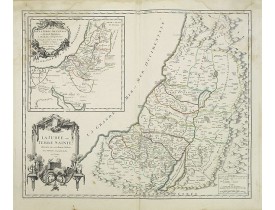
Map of Judee including a map of "terre de Canaan"...
50€
Location: 1783
Published: Paris, ca 1783
Size: 685 x 492mm.
Color: In attractive original body colours.
Condition: Printed on heavy paper. Good impression. 1st map: symmetrical brown spots in the lower corners. 2nd map: some discolouration along centerfold. Minor marginal spots.
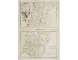
Map of the Holy Land on both sides of the Jordan, divided among the Tribes and according to the division into provinces at th..
300€
Location: 1789
Published: Vienna, 1789
Size: 570 x 370mm.
Color: In original o/l colours.
Condition: Good and dark impression. Wide margins. Very good condition.
Large map of Yemen from "Allgemeiner grosser Atlas" published by P. J. Schalbacher - 1786-1800. Based on the observations of ..
200€
Location: 1797
Published: Paris, 1797
Size: 491 x 650mm.
Color: Coloured.
Condition: In very good condition.
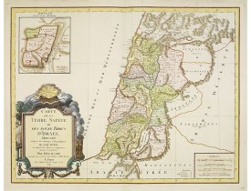
Fine map of Palestine devided amoung the tribes onboth sides of the Jordan and according to the Roman provinces. The shore li..
400€
Showing 1 to 22 of 22 (1 Pages)



![GONSALES, A - [Illustration from Hierusalemsche Reyse.] Turckschemoniken die onder den goddelycken. . . GONSALES, A - [Illustration from Hierusalemsche Reyse.] Turckschemoniken die onder den goddelycken. . .](https://www.loeb-larocque.com/eshop/image/cache/catalog/image/new_upload/30799-275x210h.jpg)
