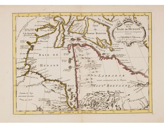
HARREVELT, E. van/ CHANGUION, D.J. - Carte de la Baie de Hudson..
 Click on image to zoom

HARREVELT, E. van/ CHANGUION, D.J. - Carte de la Baie de Hudson..
Published: Amsterdam, 1773
Size: 216 x 296mm.
Color: In attractive original o/l colours.
Condition: Good margins. In very good condition.
Description
Uncommon edition of this accurate map showing the Hudson Bay. Second state. In lower right engraved "36."
From Atlas Portatif pour servir a l'intelligence de l'Histoire Philosophique et Politique des etablissements et du commerce des Européens dans les deux Indes.
Jacques Nicolas Bellin (1703-1772) was one of the most important and proficient French cartographers of the mid-eighteenth century. He was appointed the first Ingenieur Hydrographe de la Marine, and also Official Hydrographer to the French King.
Bellin produced a substantial number of important separately issued maps, particularly reflecting continuing discoveries and political events in the Americas.
RARE.
300€
- Reference N°: 23899
