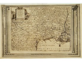
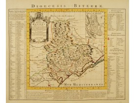
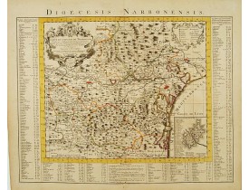
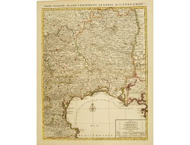
Languedoc
Location: 1608
Date: Amsterdam, 1608
Format: 136 x 183mm.
Color: Col.
Condition: Papier bruni. Bon état.
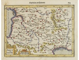
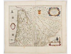
Carte d’Aquitaine parue dans la première édition en français de l'Atlas mineur de Jodocus Hondius. Peu de temps après la pub..
100€
Location: 1618
Date: Amsterdam, 1616-1618
Format: 97 x 135mm.
Color: Noir et blanc.
Condition: Good condition. Paper slightly age-toned.
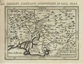
Text in latin on verso...
100€
Location: 1618
Date: Amsterdam 1616-1618
Format: 95 x 135mm.
Color: Noir et blanc.
Condition: Good condition. Paper slightly age-toned.
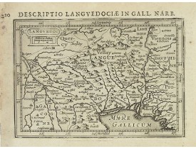
Text in latin on verso...
100€
Location: 1619
Date: Paris, ca. 1619
Format: 345 x 440mm.
Color: Noir et blanc.
Condition: Papier jauni, mouillures à droite et à gauche de la carte, 2 petites taches brunes le long du pli central, déchirure à droite restaurée sur 7 cm affectant légèrement la surface gravée.
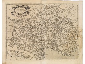
Ornée d'un cartouche de titre et d'une échelle. Le "Theatre geographique de France" de Leclerc est le prolongement du "Theatr..
200€
Location: 1634
Date: Amsterdam, 1634
Format: 438 x 540mm.
Color: Noir et blanc.
Condition: A good and dark impression. slightly age-toned. Rust spot with very slight loss to lower middle centerfold else in good condition. German text on verso.
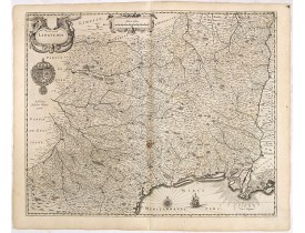
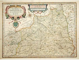
A detailed map of the French province of Languedoc by the most famous Dutch map publisher of the seventeenth century. Showing..
200€
Location: 1636
Date: Amsterdam, 1636
Format: 375 x 495mm.
Color: Noir et blanc.
Condition: Good condition.
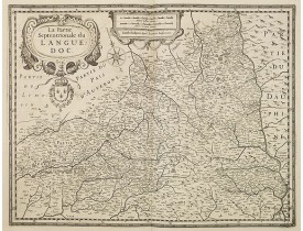
Large cartouche in upper left corner with French coat of arms.Centered on this great wine region. To the right the river Rhon..
100€
Location: 1642
Date: Paris, 1642
Format: 380 x 525mm.
Color: Beau col. ancien.
Condition: Bel exemplaire. Pâle mouillure en bas de carte.
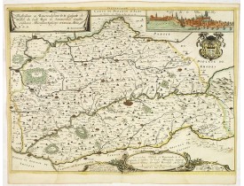
Rare carte du Diocèse d'Alby par Melchior Tavernier d'après Pierre Pronostel. Ornée en haut à droite d'un profil de la ville ..
1 750€
Location: 1644
Date: Amsterdam, 1644
Format: 381 x 497mm.
Color: Beau col. d'époque.
Condition: In good condition.
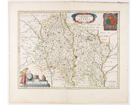
Detailed map of a province of France by one of the most famous map publisher. Centered on Cahors.In the lower left corner, a ..
200€
Location: 1644
Date: Amsterdam, 1644
Format: 386 x 506mm.
Color: Beau col. d'époque.
Condition: In mint condition.
Two maps on one sheet: To the left a detailed map of the Medoc area and to the right of Bern both embellished with decorative..
250€
Location: 1645
Date: Amsterdam, 1645
Format: 441 x 541 mm.
Color: Beau col. ancien.
Condition:
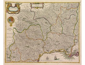
Carte décorative du Languedoc figurant le Languedoc-Roussillon, avec les villes de Montpellier Toulouse, Avignon, Arles, etc ..
450€
Location: 1650
Date: Amsterdam, 1650
Format: 375 x 505mm.
Color: Beau col.
Condition: Sans texte au verso.
To the right the river Rhone...
400€
Location: 1658
Date: Amsterdam, 1658
Format: 381 x 497mm.
Color: Beau col. ancien.
Condition: Pâles mouillures en bordure sup. Bel exemplaire.
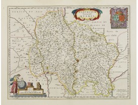
Carte du Quercy ornée dans le coin inférieur gauche, d'un cartouche d'échelle surmonté d'un singe, de quelques livres et d'un..
250€
Location: 1697
Date: Venice, 1695-1697
Format: 450 x 600mm.
Color: Noir et blanc.
Condition: In very nice condition, good and dark impression. Printed on heavy paper.
A decorative Coronelli map showing the Canal du Midi. It shows the extent of the canal from the Mediterranean sea at Narbonne..
300€
Location: 1704
Date: Amsterdam, ca. 1704
Format: 585 x 497mm.
Color: Beau col. ancien.
Condition: Papier amainci le long du pli central restauré.
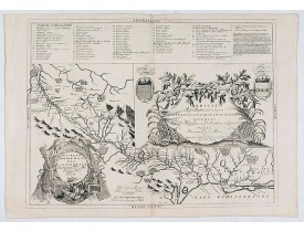
Carte figurant les Cévennes pendant la révolte des Camisards ; elle est ornée d'un cartouche de titre figurant des hommes arm..
400€
Location: 1705
Date: Paris, 1705
Format: 235 x 342mm.
Color: Noir et blanc.
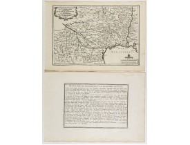
Condition: Mint condition. Dark impression. <br />Together with an engraved text sheet.
Map of the Languedoc region, from Nicolas de Fer's "L'Atlas curieux ou le Monde réprésente dans des cartes. "The "Atlas Curie..
75€
Location: 1710
Date: Amsterdam, ca.1710
Format: 452 x 575mm.
Color: Col.
Condition: Bonne impression.
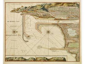
Carte nautique du port de Cette, représentative de la cartographie hollandaise. Ornée de 2 profils de la côte cettoise. - A v..
800€
Location: 1728
Date: Amsterdam, 1728
Format: 265 x 380mm.
Color: Noir et blanc.
Condition: Belle impression. Marge sup. coupée le long du filet d’encadrement.
Carte du Languedoc ornée d’un cartouche de titre décoratif en haut à gauche, publiée dans Le Nouveau Theatre du Monde, ou la ..
250€
Location: 1745
Date: Amsterdam c. 1745
Format: 470 x 575 mm.
Color: Col. ancien.
Condition: Original color in outline and highlights on stout paper, slightly age-toned. Minor water staining on lower margin centerfold, not attaining the engraved area. Good margins. Excellent condition.
Limites en coloris d'époque. Imprimé sur papier fort. Pâle mouillure en bas du pli central sans atteinte à la carte. Bonnes m..
300€
Location: 1745
Date: Amsterdam c. 1745
Format: 470 x 590 mm.
Color: Col. ancien.
Condition: Printed on heavy paper, slightly age-toned. Minor water staining on lower margin centerfold, not attaining the engraved area. Good margins. Excellent condition.
Limites en coloris d'époque. Imprimé sur papier fort. Pâle mouillure en bas du pli central sans atteinte à la carte. Bonnes m..
350€
Location: 1745
Date: Amsterdam c. 1745
Format: 595 x 457 mm.
Color: Col. ancien.
Condition: Original colour in outline and highlights on stout paper, slightly age-toned. Good margins. Excellent condition.
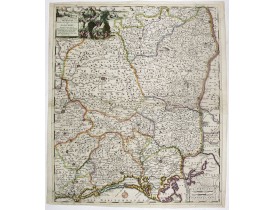
Detailed map of southern France centred on Montpellier and the Gulf of Lion. It encompasses the region from the Spanish borde..
350€
Location: 1757
Date: Paris, Desnos, 1757
Format: 275 x 363mm.
Color: Noir et blanc.
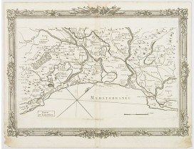
Condition: Pâles mouillures en bordure de carte. Papier fragilisé dans les coins inf. Traces de pliures anciennes. Villes coloriées en rouge à l'époque.
Couvre la région de Marseille, Montpellier, Mauguio. Tiré du "Recueil des Côtes Maritimes de France" édité chez Desnos. Brion..
250€
Location: 1757
Date: Paris, Desnos, 1757
Format: 275 x 365mm.
Color: Noir et blanc.
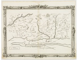
Condition: Pâles mouillures en bordure de carte. Papier fragilisé dans les coins inf. Pliure médiane. Infime tache brune près du littoral.
Couvre le littoral de Leucate à Adge avec Narbonne et Beziers dans l'arrière-pays. Tiré du "Recueil des Côtes Maritimes de Fr..
250€
Location: 1774
Date: 1774
Format: 510 x 3230mm.
Color: Noir et blanc.
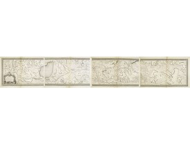
Condition: Carte en 4 feuilles du canal du Languedoc. Bon état général. Plis centraux légèrement jauni.
Carte en 4 feuilles du canal du Languedoc. En 1768, François Garipuy (1711-1782) présenta aux Etats 171 feuilles et en 1769, ..
1 000€
Location: 1783
Date: Paris, ca 1783
Format: 405 x 335mm.
Color: In attractive original body colours.
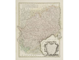
Condition: Infimes brunissures en partie sup. Sur papier fort.
Carte figurant le Languedoc et le Roussillon ornée d'un cartouche de titre rococo. Publiée dans Atlas moderne ou collection ..
100€


