Aunis - Saintonge
Location: 1598
Date: Cologne, 1598
Format: 355 x 455mm.
Color: Noir et blanc.
Condition: Papier bruni.
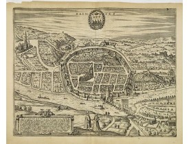
Vue à vol d'oiseau de Saintes avec la Charente au premier plan. Texte en latin au verso...
400€
Location: 1627
Date: Paris, 1627
Format: 385 x 440mm.
Color: Noir et blanc.
Condition: Carte contrecollée anciennement sur papier. Papier sali, mouillures dans la partie inf., pli central partiellement fendu consolidé par du papier ancien, petit manque marginal dans l'angle sup. gauche.
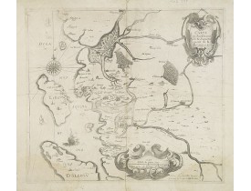
Carte du pays d'Aunis avec l'île de Ré et le nord de l'île d'Oléron, dessinée par le Sr. Bachot. Ornée de 2 cartouches. Paru..
500€
Location: 1627
Date: Amsterdam, 1627
Format: 395 x 523mm.
Color: Col.
Condition: Piece of paper next to upper part of centerfold re-inforced and missing area carefully redrawn. Some paper thinness along center fold.
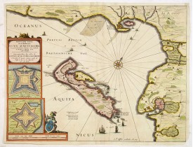
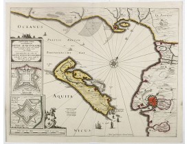
Rare. Carte détaillée de l'Isle de Ré et de la côte depuis les Sables-d'Olonne, avec une partie du Poitou, La Rochelle, jusqu..
2 500€
Location: 1634
Date: Amsterdam, 1634
Format: 392 x 500mm.
Color: Noir et blanc.
Condition: In good condition. With a mild map crease, a few rust marks and spots, slight dicolouration along centerfold. Good margins and dark impression.
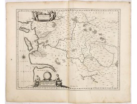
FIRST EDITION, FIRST ISSUE OF THIS MAP. From the 1634 edition of Blaeu's Atlas Novus, the first edition of this work.Map of P..
200€
Location: 1644
Date: Amsterdam, 1644
Format: 390 x 500mm.
Color: Beau col. d'époque.
Condition: Very good to mint condition.
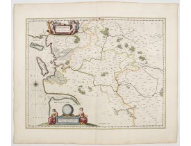
This map features a portion of western coastal France, north of Bordeaux with Ile de Ré and Ile Oléron. Two large cartouches..
400€
Location: 1690
Date: Venise, 1690
Format: 280 x 445mm.
Color: Noir et blanc.
Condition: Belle impression. Infimes rousseurs principalement en bordure de carte.
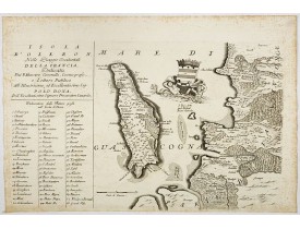
La carte, issue de l'Atlante Veneto, représente l'île d'Oléron et une partie de la Saintonge. Ornée de deux tritons tenant au..
350€
Location: 1708
Date: Amsterdam, 1708
Format: 387 x 510mm.
Color: Beau col. ancien.
Condition: Belle impression sur papier fort en coloris d'époque. Trace de pliure horizontale en partie inférieure.
Carte finement aquarellée figurant l'île de Ré ainsi que les côtes de Poitou et d'Aunis avec la Rochelle et le fort St. Louys..
2 000€
Location: 1762
Date: Londres, 1762
Format: 195 x 250mm.
Color: Noir et blanc.
Condition: Bel exemplaire à toutes marges.
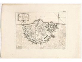
Figure la ville et la citadelle de Saint-Martin-de-Ré. Thomas Jefferys (1719–1771), géographe du roi George III, est le carto..
300€
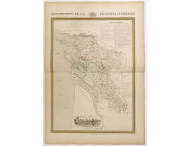
Location: 1841
Date: Paris, M. B. Dusillon, ca. 1841
Format: 675 x 480mm.
Color: Limites en col. ancien.
Condition: Carte imprimée sur papier fort. Papier légèrement jauni. Format de la planche : 560mm x 740mm.
Carte du département de la Charente inférieure publiée dans "Atlas Général de France", divisé par départements par Donnet et ..
450€
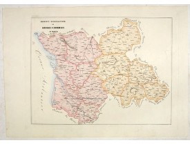
Location: 1858
Date: Rome, 1858
Format: 462 x 605mm.
Color: In attractive original wash colours.
Condition: With original full hand colour, on fine wove paper watermarked ‘Pietro Miliani Fabriano’, size of the sheet 570 x 800 mm.
This large-format Bourges and Bordeaux map is finely engraved and beautifully coloured and was prepared by Girolamo Petri, ..
250€
Affichage 1 à 10 de 10 (1 Pages)


