North towns
Location: 1655
Published: Francfort/Main, 1655
Size: 135 x 305mm.
Color: Uncoloured.
Condition: Papier légèrement jauni.
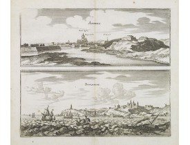
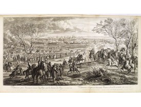
Two views printed on two separate plates of Ardres and Boulongne. Ardres is a medieval town near Calais. Both prints are very..
50€
Location: 1655
Published: Francfort/Main, 1655
Size: 140 x 310mm.
Color: Uncoloured.
Condition: Légèrement jauni dans les marges.
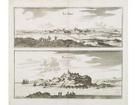
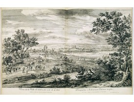
Two views printed on two separate plates of la Fere et Estaples in Nord, France. Both prints are very well engraved with exce..
50€
Location: 1655
Published: Francfort/Main, 1655
Size: 185 x 285mm.
Color: Uncoloured.
Condition: Légèrement jauni dans les marges.
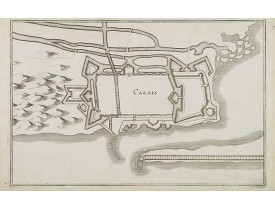
Military plan of Calais' fortifications. The coastal town of Calais was first fortified in 13th century, when a castle and to..
50€
Location: 1680
Published: Paris, ca. 1680
Size: 509 x 1320mm.
Color: Uncoloured.
Condition: Belle impression. Bel exemplaire.
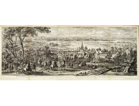
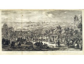
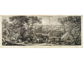
Showing the town of Lille. Etching by Van Huctenburg and Baudouins after Adam Frans van der Meulen (1632-1690) who was a Fle..
1,300€
Location: 1680
Published: Paris, ca. 1680
Size: 510 x 970mm.
Color: Uncoloured.
Condition: Belle impression. Petite tache brune à gauche dans le ciel. Bel exemplaire.
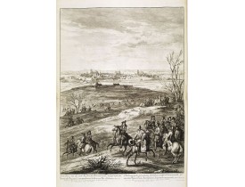
Showing the town of Arras. Etching by R. Bonnart after Adam Frans van der Meulen (1632-1690) who was a Flemish Baroque painte..
1,300€
Location: 1680
Published: Paris, ca. 1680
Size: 645 x 520mm.
Color: Uncoloured.
Condition: Belle impression. Bel exemplaire.
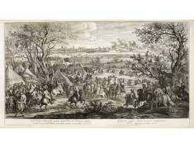
Showing the town of Saint-Omer. Etching by Franz Ertinger, (1640-1710?) after Adam Frans van der Meulen (1632-1690) who was ..
1,000€
Location: 1680
Published: Paris, ca. 1680
Size: 520 x 950mm.
Color: Uncoloured.
Condition: Belle impression. Bel exemplaire.
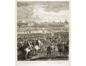
Showing the town of Cambray. Etching by R. Bonnart after Adam Frans van der Meulen (1632-1690) who was a Flemish Baroque pai..
1,300€
Location: 1680
Published: Paris, ca. 1680
Size: 635 x 515mm.
Color: Uncoloured.
Condition: Bel exemplaire. Très belle impression sur papier fort.
Showing the town of Cambray. Etching by Franz Ertinger, (1640-1710?) after Adam Frans van der Meulen (1632-1690) who was a Fl..
750€
Location: 1680
Published: Paris, ca. 1680
Size: 509 x 880mm.
Color: Uncoloured.
Condition: Belle impression. Bel exemplaire.
Showing the town of Valenciennes. Etching by R. Bonnart after Adam Frans van der Meulen (1632-1690) who was a Flemish Baroqu..
1,200€
Location: 1680
Published: Paris, ca. 1680
Size: 495 x 800mm.
Color: Uncoloured.
Condition: Bel impression. Deux infimes taches brunes dans la planche. Bel exemplaire sur papier fort.
Showing the town of Ardres. Etching by Baudouins after Adam Frans van der Meulen (1632-1690) who was a Flemish Baroque paint..
300€
Location: 1680
Published: Paris, ca. 1680
Size: 500 x 1325mm.
Color: Uncoloured.
Condition: Very good condition.
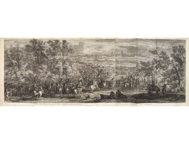
Showing the town of Calais. Etching by Franz Ertinger, (1640-1710?) after Adam Frans van der Meulen (1632-1690) who was a Fl..
1,300€
Location: 1680
Published: Paris, ca. 1680
Size: 510 x 1330mm.
Color: Uncoloured.
Condition: Belle impression. Bel exemplaire.
Showing the town of Douai. Etching by R. Bonnart and F. Baudouins after Adam Frans van der Meulen (1632-1690) who was a Flem..
1,000€
Location: 1711
Published:
Size: 430 x 605mm.
Color: Uncoloured.
Condition:
Plan de la citadelle d’Aire-sur-la-Lys et du fort Saint-François (renommé Fort Gassion en 1872), dressé par le capitaine et i..
75€
Location: 1720
Published: Ca. 1720
Size: 280 x 458mm.
Color: Uncoloured.
Condition: Plan manuscrit, plume et lavis d'aquarelle. Déchirure à droite sur 6 cm consolidée. Contrecollé sur papier fort.
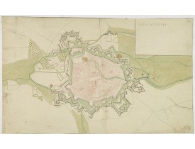
Plan manuscrit figurant vraisemblablement la ville et citadelle de Valenciennes. Le carton en haut à droite est resté vide...
400€
Location: 1720
Published: Paris, 1690 -1720
Size: 205 x 311mm.
Color: Uncoloured.
Condition: Impression légèrement estompée dans la partie sup. Mouillures. Marges sup. et droite courtes.<BR>Some water staining. Impression slightly faded away. Short upper & right margins.
Bird's eye-view of the French town of Arras, including a key list at the bottom. Engraved by Pierre Aveline (Paris, c.1656 - ..
200€
Location: 1832
Published: Paris, 1832
Size: 557 x 830mm.
Color: Uncoloured.
Condition: Carte dépliante divisée en 21 segments entoilés, repliées au format in-8.
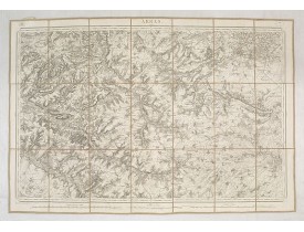
Feuille 8 de la carte d'État-major de la guerre au 1/80.000° rédigée et gravée au Dépôt général de la Guerre sous la directio..
30€
Location: 1837
Published: Paris, 1837
Size: 560 x 820mm.
Color: Uncoloured.
Condition: Cartes entoilées et dépliante divisées en 21 segments. Repliée au format in-8.
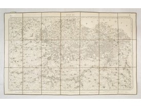
Feuille 7 de la carte d'État-major de la guerre au 1/80.000° rédigée et gravée au Dépôt général de la Guerre sous la directio..
30€
Showing 1 to 19 of 19 (1 Pages)

