Savoy
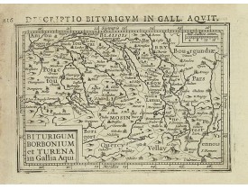
Location: 1606
Published: Amsterdam, 1606
Size: 85 x 125mm.
Color: Uncoloured.
Condition: In very good condition, lightly age toned, with light water stains, all with wide margins, a nice dark impression. Latin text to verso.
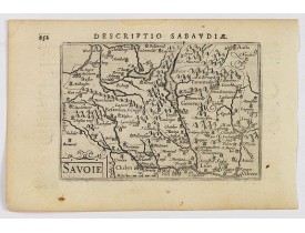
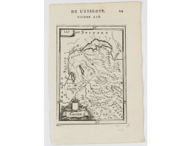
A decorative miniature map of Savoy - a cultural region in Central Europe that comprises roughly the territory of the Western..
100€
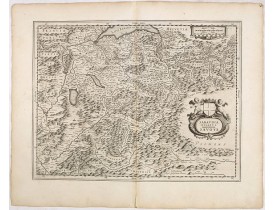
Location: 1618
Published: Amsterdam 1616-1618
Size: 94 x 138mm.
Color: Uncoloured.
Condition: Good condition. Paper slightly age-toned.
Text in latin on verso...
100€
Location: 1618
Published: Amsterdam 1616-1618
Size: 95 x 135mm.
Color: Uncoloured.
Condition: Good condition. Paper slightly age-toned.
Text in latin on verso...
80€
Location: 1634
Published: Amsterdam, 1634
Size: 385 x 500mm.
Color: Uncoloured.
Condition: Wide margins, with a good strong impression, a few place-names marked in red else fine. German text on verso.
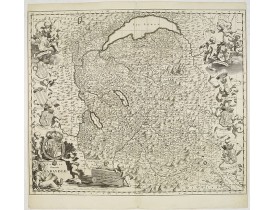
A very decorative map of the mountainous region of Savoy with beautiful cartouches by one of the most famous map publishers o..
200€
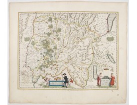
Location: 1644
Published: Amsterdam, 1644
Size: 382 x 500mm.
Color: In attractive original colours
Condition: Very good and dark impression.
Title cartouche with putti and surveyor with surveying instruments. Upper right hand corner Geneva, lower left Lyon and in th..
200€
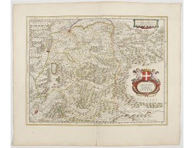
Location: 1645
Published: Amsterdam, 1645
Size: 380 x 496mm.
Color: In original colours.
Condition: Cartouche heightened with gold. No text on verso.
Including town and Lake Geneva, Grenoble and the Alps.. From early on Willem Jansz. Blaeu aimed of publishing an atlas to com..
450€
Location: 1663
Published: Paris, 1663
Size: 422 x 575mm.
Color: In original o/l colours.
Condition: Bel exemplaire.
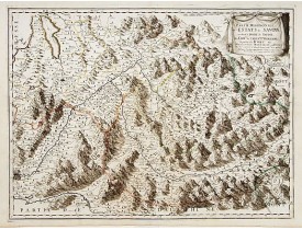
The Savoy region of France with Grenoble bottom left across to Bourg-Saint-Maurice and the River Isere...
450€
Location: 1682
Published: Amsterdam, 1682
Size: 505 x 595mm.
Color: Uncoloured.
Condition: Bel exemplaire en parfait état.
Carte exceptionnellement décorative d'après Th. Borgonio, gravée par J. de Broen. Elle est ornée sur les côtés d'amours suppo..
1,000€
Location: 1683
Published: Paris, 1683
Size: 140 x 100mm.
Color: Uncolored
Condition: Paper slightly age toned, strong impression. In fine condition.
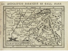
A charming map of Savoy. Title in curtain draped at top. French text on verso.From the original 1683 text edition of "Descrip..
50€
Location: 1683
Published: Paris, 1683
Size: 148 x 98mm.
Color: Uncolored
Condition: Paper slightly age toned, strong impression. In fine condition.
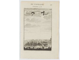
A charming view of Chambery. Title in curtain draped at top. French text on verso.From the original 1683 text edition of "Des..
50€
Location: 1756
Published: Paris, 1756
Size: 482 x 510mm.
Color: In original o/l colours.
Condition: Bel exemplaire.
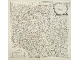
Carte du Duché de Savoie et du Duché d'Aouste. Représente la "Montagne Maudite" (Mont-Blanc). Cartouche de titre décoratif...
75€
Location: 1857
Published:
Size: 510 x 480mm.
Color: In attactive original colours.
Condition: Carte lithographiée entoilée et repliée, divisée en 12 segments. Rivières et lacs coloriés en bleu à l'époque. Papier légèrement jauni le long des plis.
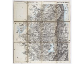
Carte de Savoie figurant la région de Pont-Beauvoisin avec les lacs d'Aiguebellette et du Bourget. Carte au 1/50.000 établie ..
100€
Location: 1857
Published:
Size: 510 x 720mm.
Color: In attactive original colours.
Condition: Carte lithographiée entoilée et repliée, divisée en 18 segments. Rivières et lacs coloriés en bleu à l'époque.
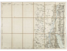
Carte de Savoie figurant la région de Ruffieux, la ville de Belley et la partie nord du lac du Bourget. Carte au 1/50.000 éta..
100€
Location: 1886
Published: Paris, 1833-1886
Size: 555 x 840mm.
Color: Uncoloured.
Condition: Printed on heavy, somewhat browned paper. Some minor marginal spotting. Else a good dark impression.
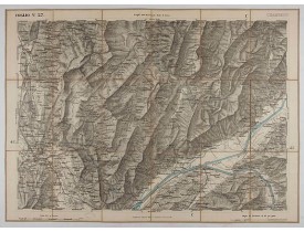
Fine map of Belley, part of the Savoie region...
50€
Location: 1953
Published: Paris, 1953
Size: 700 x 835mm.
Color: Printed colors
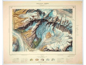
Condition: Lithograph colors. Size of the sheet 745mm x 915mm. In mint condition.
Magnificent 1:10,000 scale color printed map of l'Aiguille verte (Chamonix N°6 Sud) based on stereotopographic ground and aer..
750€
Location: 1953
Published: Paris, 1953
Size: 700 x 835mm.
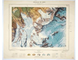
Color: Color printed
Condition: Offset printing in 11 colours. Size of the sheet : 745mm x 915mm. Perfect condition.
Magnificent 1:10,000 scale color printed map of L'Aiguille du Midi (Mont Blanc N°1 Nord) based on stereotopographic ground an..
1,000€
Location: 1953
Published: Paris, 1953
Size: 700 x 835mm.
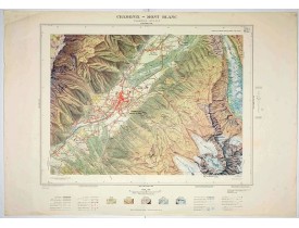
Color: Color printed.
Condition: Offset printing in 11 colours. Size of the sheet : 745mm x 915mm. Perfect condition.
Magnificent 1:10,000 scale color printed map of Chamonix - Mont Blanc (Chamonix N°5 Sud) based on stereotopographic ground an..
1,000€
Location: 1953
Published: Paris, 1953
Size: 700 x 835mm.
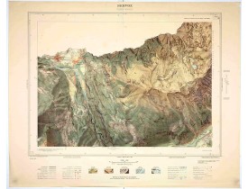
Color: Printed colors.
Condition: Lithograph colors. Size of the sheet 745mm x 915mm. In mint condition.
Magnificent 1:10,000 scale color printed map of Servoz (Cluses N°8 Sud) based on stereotopographic ground and aerial surveys..
750€
Location: 1953
Published: Paris, 1953
Size: 700 x 835mm.
Color: Printed colors
Condition: Lithograph colors. Size of the sheet 745mm x 915mm. In good condition.
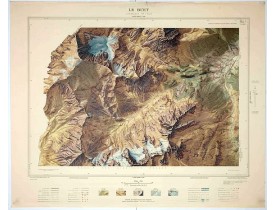
Magnificent 1:10,000 scale color printed map of Le Buet (Chamonix No. 1 South) / "Massif des Aiguilles Rouges" based on stere..
750€
Showing 1 to 20 of 20 (1 Pages)


![PERRIN, A. - Carte dite de l'Etat-major français [Belley (Nantua)]. PERRIN, A. - Carte dite de l'Etat-major français [Belley (Nantua)].](https://www.loeb-larocque.com/eshop/image/cache/catalog/image/new_upload/38681-275x210w.jpg)
