Lorraine
The Silk Road extended approximately 6,437 kilometers (4,000 miles) across some of the world’s most formidable landscapes, including the Gobi Desert, the Pamir Mountains and traversed several of Uzbekistan’s major cities, including Samarkand, Bukhara and Khiva. The roads were typically in poor condition. Robbers were common. To protect themselves, traders joined together in caravans with camels or other pack animals. Over time, large inns called caravanserais cropped up to house travelling merchants.
One of the most famous travelers of the Silk Road was Marco Polo (1254 C.E. –1324 C.E.). Born into a family of wealthy merchants in Venice, Italy, Marco traveled with his father to China (then Cathay) when he was just 17 years of age.
It is hard to overstate the importance of the Silk Road on history. Religion and ideas spread along the Silk Road just as fluidly as goods. Towns along the route grew into multicultural cities.
The exchange of information gave rise to new technologies and innovations that would change the world.
The below antique maps are available for immediate sale, they are sold with a certificate of authenticity and published at the date indicated in the catalog description.
One of the most famous travelers of the Silk Road was Marco Polo (1254 C.E. –1324 C.E.). Born into a family of wealthy merchants in Venice, Italy, Marco traveled with his father to China (then Cathay) when he was just 17 years of age.
It is hard to overstate the importance of the Silk Road on history. Religion and ideas spread along the Silk Road just as fluidly as goods. Towns along the route grew into multicultural cities.
The exchange of information gave rise to new technologies and innovations that would change the world.
Antique maps including the Silk Route region
The below antique maps are available for immediate sale, they are sold with a certificate of authenticity and published at the date indicated in the catalog description.
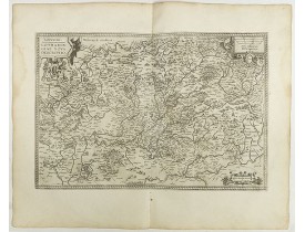
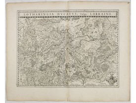
Location: 1598
Published: Anvers, 1598
Size: 340 x 505 mm.
Color: Uncoloured.
Condition: French text on the verso. Wide margins and a strong and dark impression. In fine condition.
ORTELIUS, A. - Lorraine. Lotharingiae nova descriptio. - 40968 - Lorraine - ORTELIUS, A. - Lorraine. Lotharingiae nova desc..
350€
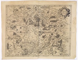
Location: 1619
Published: Paris, ca. 1619
Size: 353 x 455mm.
Color: Uncoloured.
Condition: Papier légèrement jauni.
Figure le nord de la Lorraine avec une partie du Luxembourg. Ornée d'un cartouche de titre. Le "Theatre geographique de Franc..
300€
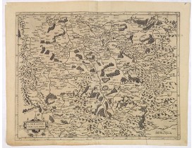
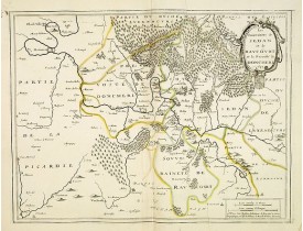
Location: 1619
Published: Paris, ca. 1619
Size: 358 x 470mm.
Color: Uncoloured.
Condition: Papier jauni, pliure verticale à droite.
Ornée d'un cartouche de titre. Le "Theatre geographique de France" de Leclerc est le prolongement du "Theatre" de Bouguereau...
200€
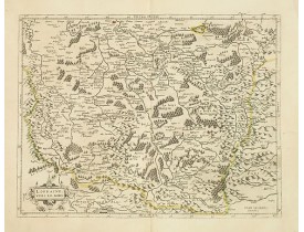
Location: 1631
Published: Paris, 1631
Size: 358 x 473mm.
Color: In original o/l colours.
Condition: Bon exemplaire. - A good and strong impression. Paper slightly age toned but generally in very good condition. French text on verso.
Carte du sud de la Lorraine publiée avec texte au verso par la Veuve Iean Leclerc.- Detailed map of Lorraine, published by Le..
300€
Location: 1634
Published: Amsterdam, 1634
Size: 380 x 500 mm.
Color: Uncoloured.
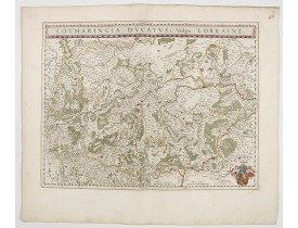
Condition: Wide margins. Printed on heavy paper, strong impression. Very good.
BLAEU, W. - Lotharingia Ducatus: Vulgo Lorraine. - 36053 - Lorraine - BLAEU, W. - Lotharingia Ducatus: Vulgo Lorraine. - 36..
60€
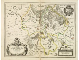
Location: 1640
Published: Amsterdam, 1640
Size: 382 x 497mm.
Color: In original o/l colours.
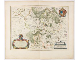
Condition: Printed on thin paper. Good condition. No text on verso.
A beautiful engraved map centered on Sedan in France. In the left-hand lower part of the image, one of the two cartouches of ..
100€
Location: 1642
Published: Paris, 1642
Size: 381 x 497mm.
Color: In attractive strong original colours.
Condition: Wide margins. Good condition.
A decorative map of Principauté de Sedan prepared by Jean Boisseau. The address mentions "A Paris chez I.Boisseau, Enlumineur..
500€
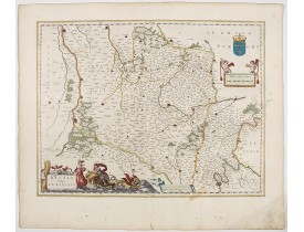
Location: 1644
Published: Amsterdam , 1644
Size: 385 x 504mm.
Color: In attractive strong original colours.
Condition: Fine. With wide margins. Paper slightly browned, as usual.
In the left-hand lower part of the image a beautiful contemporary cartouche with goddess Ceres [agricultural] holding a reapi..
200€
Location: 1644
Published: Amsterdam, 1644
Size: 381 x 501mm.
Color: In original colours.
Condition: Wide margins. Printed on heavy paper. In good condition.
A very detailed map for his time centered on Nancy and Metz. Orientated with West on top.In the lower right-hand corner of th..
200€
Location: 1644
Published: Amsterdam, 1644
Size: 381 x 497mm.
Color: In attractive strong original colours.
Condition: Wide margins. Printed on heavy paper. In good condition.
A very decorative map with beautiful large cartouches of a province of France by one of the most famous map publishers. From..
150€
Location: 1660
Published: Metz, ca. 1660
Size: 488 x 645mm.
Color: In original o/l colours.
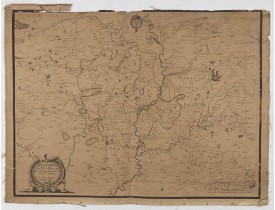
Condition: Carte en partie gravée ; le cartouche, les armoiries, l'échelle, la boussole, les rivières et la plupart des symboles figurant les villes, ont été gravés. La toponymie, les indications de l'échelle et certains symboles de localités sont manuscrits (encre brune), les délimitaions et les cours d'eau sont aquarellés. Carte anciennement entoilée, quelques petites galeries de ver éparses, papier bruni, pâles mouillures en partie supérieure. Marge supérieure de la carte, en partie déchirée ou absente.
Etat inconnu de cette rarissime carte du pays messin par Jean Brioys, en partie gravée et en partie manuscrite. La carte figu..
3,500€
Location: 1705
Published: Paris, 1705
Size: 277 x 373mm.
Color: Uncoloured.
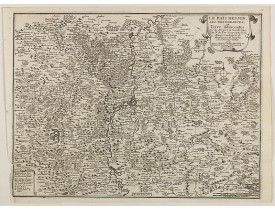
Condition: Mint condition. Dark impression.
Map of the Messin region, from Nicolas de Fer's "L'Atlas curieux ou le Monde réprésente dans des cartes. "The "Atlas Curieux"..
60€
Location: 1705
Published: Paris, 1705
Size: 480 x 710mm.
Color: In original o/l colours.
Condition:
Fine map of Lorraine region.Alexis-Hubert Jaillot (1632-1712), was a French cartographer. Map from "Atlas géographique Conten..
100€
Location: 1780
Published: Paris, ca. 1780
Size: 570 x 835mm.
Color: Uncoloured.
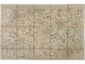
Condition: Carte en 21 segments entoilée.
Carte de Verdun et de ses environs.La carte de Cassini ou carte de l'Académie est la première carte générale du royaume de Fr..
100€
Location: 1780
Published: Paris, ca. 1780
Size: 585 x 930mm.
Color: Uncoloured.
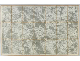
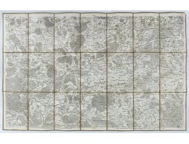
Condition:
Carte de Nancy et de ses environs, villes de la région de Lorraine.La carte de Cassini ou carte de l'Académie est la première..
50€
Location: 1806
Published: Paris, Prudhomme, Levrault, Debray, 1806
Size: 98 x 150mm.
Color: In original o/l colours.
Condition: Belle impression. Papier jauni et infimes rousseurs.
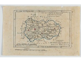
Carte de la Meurte, avec une petite légende dans le coin supérieur droit.@..
15€
Location: 1841
Published: Paris, M. B. Dusillon, ca. 1841
Size: 480 x 675mm.
Color: In original o/l colors.
Condition: Paper slightly age toned but generally in very good condition. The maps on strong paper. Size of the sheet 560mm x 740mm.
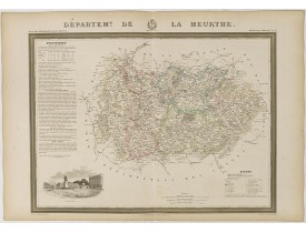
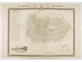
Detailed map of La Meurthe from "Atlas général de France divisée en départements par Donnet et Monin ; avec armes et vues de ..
150€
Location: 1841
Published: Paris, M. B. Dusillon, ca. 1841
Size: 675 x 480mm.
Color: In original o/l colors.
Condition: Paper slightly age toned but generally in very good condition. The maps on strong paper. Size of the sheet 560mm x 740mm.
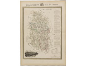
Map of the department of La Meuse published in "Atlas Général de France", divided by departments by Donnet and Monin, geograp..
150€
Location: 1841
Published: Paris, M. B. Dusillon, ca. 1841
Size: 480 x 675mm.
Color: In original o/l colors.
Condition: Paper slightly age toned but generally in very good condition. The maps on strong paper. Size of the sheet 560mm x 740mm.
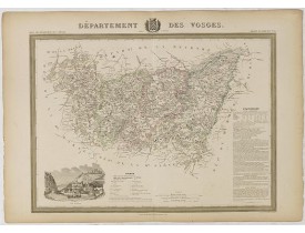
Detailed map of Vosges from "Atlas général de France divisée en départements par Donnet et Monin ; avec armes et vues de Chap..
150€
Location: 1841
Published: Paris, M. B. Dusillon, ca. 1841
Size: 480 x 675mm.
Color: In original o/l colors.
Condition: Paper slightly age toned but generally in very good condition. The maps on strong paper. Size of the sheet 560mm x 740mm.
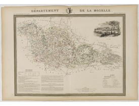
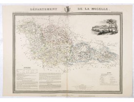
Detailed map of Moselle from "Atlas général de France divisée en départements par Donnet et Monin ; avec armes et vues de Cha..
150€
Location: 1844
Published: Paris, 1844
Size: 465 x 660mm.
Color: In original o/l colours.
Condition: Gravure sur acier. Bel exemplaire.
Carte du département de la Meurthe ornée d'une vue de Nancy, d'un texte "statistique" et d'une liste des signes conventionnel..
100€
Location: 1850
Published: Paris, ca. 1850
Size: 530 x 660mm.
Color: In original o/l colours.
Condition: Gravé sur acier. Fente en bas du pli central consolidée.
Carte du département de la Moselle ornée d'une vue de Metz, d'un tableau statistique et d'une liste des signes conventionnels..
100€
Location: 1852
Published: Paris, A. Combette, 1852
Size: 285 x 410mm.
Color: In original o/l colours.
Condition: Tres bon état. Gravure sur acier avec limites en coloris d'époque, les éléments décoratifs ne sont pas coloriés.
Carte du département des Vosges. Jeune ingénieur géographe du milieu du XIXe siècle, Victor Levasseur est surtout connu pour ..
30€
Location: 1852
Published: Paris, A. Combette, 1852
Size: 285 x 420mm.
Color: In original o/l colours.
Condition: Tres bon état. Gravure sur acier avec limites en coloris d'époque, les éléments décoratifs ne sont pas coloriés.
Carte du département de la Moselle. Jeune ingénieur géographe du milieu du XIXe siècle, Victor Levasseur est surtout connu po..
30€


![LEVASSEUR, V. - Dépt. Des Vosges. N°85. [ Epinal ] LEVASSEUR, V. - Dépt. Des Vosges. N°85. [ Epinal ]](https://www.loeb-larocque.com/eshop/image/cache/catalog/image/new_upload/27166-275x210w.jpg)
![LEVASSEUR, V. - Dépt. De La Moselle. N°56. [ Metz ] LEVASSEUR, V. - Dépt. De La Moselle. N°56. [ Metz ]](https://www.loeb-larocque.com/eshop/image/cache/catalog/image/new_upload/27135-275x210w.jpg)