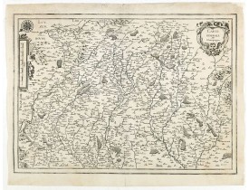
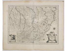
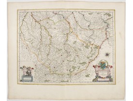
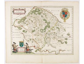
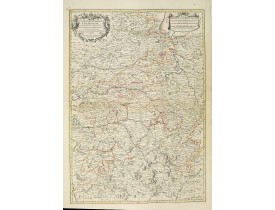
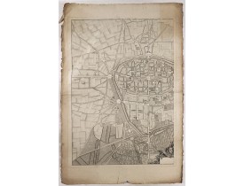
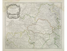
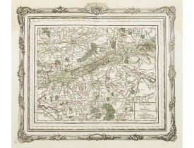
Champagne - Ardennes
The Silk Road extended approximately 6,437 kilometers (4,000 miles) across some of the world’s most formidable landscapes, including the Gobi Desert, the Pamir Mountains and traversed several of Uzbekistan’s major cities, including Samarkand, Bukhara and Khiva. The roads were typically in poor condition. Robbers were common. To protect themselves, traders joined together in caravans with camels or other pack animals. Over time, large inns called caravanserais cropped up to house travelling merchants.
One of the most famous travelers of the Silk Road was Marco Polo (1254 C.E. –1324 C.E.). Born into a family of wealthy merchants in Venice, Italy, Marco traveled with his father to China (then Cathay) when he was just 17 years of age.
It is hard to overstate the importance of the Silk Road on history. Religion and ideas spread along the Silk Road just as fluidly as goods. Towns along the route grew into multicultural cities.
The exchange of information gave rise to new technologies and innovations that would change the world.
The below antique maps are available for immediate sale, they are sold with a certificate of authenticity and published at the date indicated in the catalog description.
One of the most famous travelers of the Silk Road was Marco Polo (1254 C.E. –1324 C.E.). Born into a family of wealthy merchants in Venice, Italy, Marco traveled with his father to China (then Cathay) when he was just 17 years of age.
It is hard to overstate the importance of the Silk Road on history. Religion and ideas spread along the Silk Road just as fluidly as goods. Towns along the route grew into multicultural cities.
The exchange of information gave rise to new technologies and innovations that would change the world.
Antique maps including the Silk Route region
The below antique maps are available for immediate sale, they are sold with a certificate of authenticity and published at the date indicated in the catalog description.
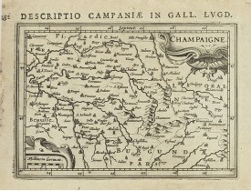
Location: 1618
Published: Amsterdam 1616-1618
Size: 93 x 133mm.
Color: Uncoloured.
Condition: Good condition. Paper slightly age-toned.
Text in latin on verso...
80€
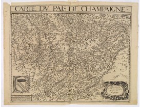
Location: 1619
Published: Paris, ca. 1619
Size: 357 x 470mm.
Color: Uncoloured.
Condition: Papier légèrement jauni, pâles mouillures. Petite déchirure en marge sup. à gauche, 2 fentes sur 6 cm en haut et en bas du pli central.
Dessigné par Damien de Templeux Escuier Sieur de Frestoy 1616. Jean le Clerc excudit 1616. Ornée d'armoiries et d'un cartouch..
200€
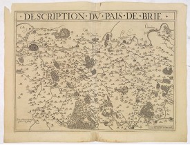
Location: 1619
Published: Paris, ca. 1619
Size: 357 x 470mm.
Color: Uncoloured.
Condition: Papier légèrement jauni, petits manques de papier dans les marges.
Fait par Damien de Templeux Escuier Sr de Frestoy 1616. Le "Theatre geographique de France" de Leclerc est le prolongement du..
200€
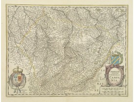
Location: 1630
Published: Amsterdam, 1630
Size: 375 x 500mm.
Color: In original colours.
Condition: A good and strong impression. Paper slightly age-toned, as usual. With repair of split lower half center fold. Dark impression.
Map of French region of Champagne, including part of Lorraine. The second state with the signature of J.Janssonius...
200€
Location: 1634
Published: Paris, 1634
Size: 365 x 518mm.
Color: Uncoloured.
Condition: Repair of a small marginal split in lower part center fold. In good condition.
Rare and detailed map of Champagne region, including part of Luxemburgfrom the first edition of Nicolas Tassin's rare folio s..
200€
Location: 1634
Published: Amsterdam, 1634
Size: 383 x 500 mm.
Color: Uncoloured.
Condition: Faint marginal water staining in the upper border and margins, a very faint crease running alongside centrefold. dark impression. Else fine. German text on verso.
BLAEU, W. - Champagne latine Campania, comitatus. - 36054 - Champagne - Ardennes - BLAEU, W. - Champagne latine Campania, co..
100€
Location: 1644
Published: Amsterdam, 1644
Size: 383 x 500mm.
Color: In attractive strong original colours.
Condition: Dark impression. In good condition. French text on verso.
A well executed and finely engraved map of the region of Champagne, famous for the sparkling white wine that bears its name.C..
200€
Location: 1644
Published: Amsterdam, 1644
Size: 391 x 500mm.
Color: In attractive strong original colours.
Condition: Marginal repaired tear in the lower part. Else in good condition.
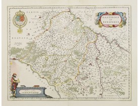
A very decorative map with beautiful cartouches of a province of France by one of the most famous map publishers. From early..
200€
Location: 1645
Published: Amsterdam, 1645
Size: 380 x 500mm.
Color: In attractive strong original colours.
Condition: Paper slightly age toned. In good condition.
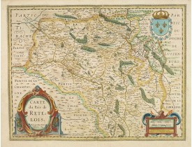
Beautiful and detailed map of Pais de Retelois in the north east of France. Showing the city of Retel, Moncornet en Tirache, ..
100€
Location: 1658
Published: Amsterdam, 1658
Size: 382 x 500mm.
Color: In attractive strong original colours.
Condition: Faint marginal water staining on top of the sheet. Restoration of minor loss of paper in the upper left border. Else fine.
A very decorative map with beautiful cartouches of a province of France by one of the most famous map publishers.The city of ..
300€
Location: 1667
Published: Paris, 1667
Size: 405 x 515mm.
Color: In original o/l colours.
Condition: Very light water stain in upper part of the map with very light foxing of paper. Good and dark impression.
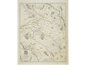
Detailed map centered on Bar-le-Duc in the province Le Barrois. Fine title cartouche with coat of arms lower left.Engraved by..
200€
Location: 1676
Published: Paris, 1676
Size: 373 x 440mm.
Color: In original o/l colours.
Condition: Good and dark impression. Some light foxing in upper right corner.
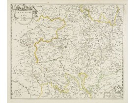
Fine map of France.This edition aux Galleries du Louvre. has been erased. No date. Nicolas Sanson was to bring about the rise..
100€
Location: 1692
Published: Amsterdam, 1692
Size: 538 x 769 mm.
Color: In original o/l colours.
Condition: Printed on heavy, somewhat browned paper. Some minor marginal spotting. Else a good dark impression.
JAILLOT, H. / MORTIER, P. - Gouvernement general de Champagne. . . - 28173 - Champagne - Ardennes - JAILLOT, H. / MORTIER, P..
200€
Location: 1750
Published: ca. 1750
Size: 800 x 560 mm.
Color: In original colours.
Condition: Left hand part of a 2 sheet plan of Reims. Paper slightly age toned. Paper size : 550 x 710mm.
ANONYME - (Reims). - 41080 - - ANONYME - (Reims). - 41080 -..
60€
Location: 1752
Published: Paris, 1752
Size: 480 x 590mm.
Color: In original o/l colours.
Condition: Larges mouillures affectant les angles supérieurs. Sur papier fort.
Carte détaillée de Champagne. Figure les villes de Reims, Retel, Châlons-en Champagne, Rocroi, Charleville, Sedan.....
40€
Location: 1766
Published: Paris, 1766
Size: 255 x 295mm.
Color: In original colours.
Condition: Some slight age-toning and light water staining in the upper part of the map. Good and dark impression.
Charming small map depicting the area around Nogent-sur-Seine. Surrounded by a decorative frame embellished with floral patte..
80€
Location: 1769
Published: Paris, Lattré, 1769
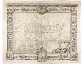
Size: 1110 x 1410 mm.
Color: Uncoloured.
Condition: Wall map in two sheets accompanied by borders in 7 boards engraved separately. The plan if joined, without the borders is 820 x 1140 mm.
Rare plan mural de Reims gravé par Jean Lattré. Cartouche central inclus
dans la bordure inférieure (sans le médaillon), co..
2,500€
Location: 1780
Published: Paris, ca. 1780
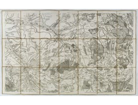
Size: 585 x 930mm.
Color: Uncoloured.
Condition: Carte en 21 segments entoilée. Format replié 200x135 mm. Etiquette de J. Andriveau-Goujon.
Carte de Troyes et de ses environs.La carte de Cassini ou carte de l'Académie est la première carte générale du royaume de Fr..
50€
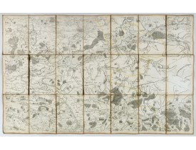
Location: 1780
Published: Paris, ca. 1780
Size: 585 x 930mm.
Color: Uncoloured.
Condition: Carte en 21 segments entoilée. Format replié 200x135 mm. Etiquette du "marchand de Géographie" Goujon collée sur la carte.
Carte de Nogent-sur-Seine et de ses environs.La carte de Cassini ou carte de l'Académie est la première carte générale du roy..
50€
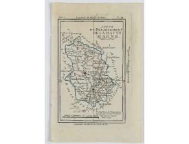
Location: 1806
Published: Paris, Prudhomme, Levrault, Debray, 1806
Size: 100 x 152mm.
Color: In original o/l colours.
Condition: Belle impression. Marge supérieure courte. Légère mouillure en marge, n'affectant pas le sujet.
Carte centrée sur la ville de Chalons-en-Champagne, avec une petite légende dans le coin supérieur gauche.@..
15€
Location: 1806
Published: Paris, Prudhomme, Levrault, Debray, 1806
Size: 150 x 97mm.
Color: In original o/l colours.
Condition: Belle impression. Marge gauche courte.
Carte centrée sur la ville de Chaumont, avec une petite légende dans le coin inférieur droit.@..
15€
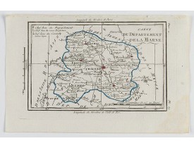
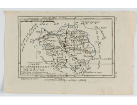
Location: 1806
Published: Paris, Prudhomme, Levrault, Debray, 1806
Size: 97 x 151 mm.
Color: In original o/l colours.
Condition: Belle impression. Marge supérieure courte.
DELAPORTE, L'Abbé. - Carte du Département de l'Aube. - 62268 - Champagne - Ardennes - DELAPORTE, L'Abbé. - Carte du Départem..
20€
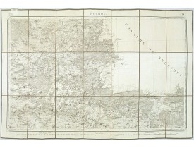
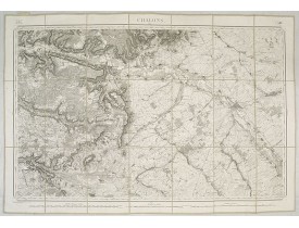
Location: 1832
Published: Paris, 1832
Size: 590 x 820mm.
Color: Uncoloured.
Condition: Cartes entoilées et dépliante divisées en 21 segments. Repliée au format in-8.
Feuille 14 de la carte d'État-major de la guerre au 1/80.000° rédigée et gravée au Dépôt général de la Guerre sous la directi..
30€


