Auvergne
The Silk Road extended approximately 6,437 kilometers (4,000 miles) across some of the world’s most formidable landscapes, including the Gobi Desert, the Pamir Mountains and traversed several of Uzbekistan’s major cities, including Samarkand, Bukhara and Khiva. The roads were typically in poor condition. Robbers were common. To protect themselves, traders joined together in caravans with camels or other pack animals. Over time, large inns called caravanserais cropped up to house travelling merchants.
One of the most famous travelers of the Silk Road was Marco Polo (1254 C.E. –1324 C.E.). Born into a family of wealthy merchants in Venice, Italy, Marco traveled with his father to China (then Cathay) when he was just 17 years of age.
It is hard to overstate the importance of the Silk Road on history. Religion and ideas spread along the Silk Road just as fluidly as goods. Towns along the route grew into multicultural cities.
The exchange of information gave rise to new technologies and innovations that would change the world.
The below antique maps are available for immediate sale, they are sold with a certificate of authenticity and published at the date indicated in the catalog description.
One of the most famous travelers of the Silk Road was Marco Polo (1254 C.E. –1324 C.E.). Born into a family of wealthy merchants in Venice, Italy, Marco traveled with his father to China (then Cathay) when he was just 17 years of age.
It is hard to overstate the importance of the Silk Road on history. Religion and ideas spread along the Silk Road just as fluidly as goods. Towns along the route grew into multicultural cities.
The exchange of information gave rise to new technologies and innovations that would change the world.
Antique maps including the Silk Route region
The below antique maps are available for immediate sale, they are sold with a certificate of authenticity and published at the date indicated in the catalog description.
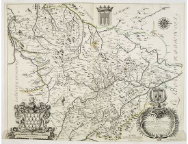
Location: 1634
Published: Amsterdam, 1634
Size: 380 x 500mm.
Color: Uncoloured.
Condition: Paper lightly aged-toned, and slightly dicoloured along the centerfold. Very good to mint condition. German text on verso.
A very decorative map with beautiful cartouches of a province of France by W. Blaeu, one of the most famous of all map publis..
50€
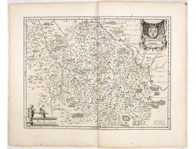
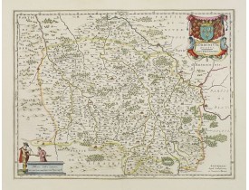
Location: 1634
Published: Amsterdam, 1634
Size: 380 x 498mm.
Color: Uncoloured.
Condition: Wide margins, good impression. Very mild discolouration along the centerfold. Else fine. German text on verso.
A very decorative map with beautiful cartouches of this central province of France, once the seat of the powerful Dukes of Bo..
50€
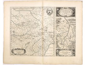
Location: 1645
Published: Paris, chez Michel van Lochom, 1645
Size: 435 x 555mm.
Color: In original o/l colours.
Condition: Tache brune en haut du pli central. Coupé en bas au filet d'encadrement.
Dédiée a haut et puissant seig.r Gaspar de Coligny... En bas et à droite, titre et dédicace dans un cartouche décoré aux arme..
1,000€
Location: 1658
Published: Amsterdam, 1658
Size: 380 x 498mm.
Color: Original colours.
Condition: Wide margins, good impression.
A very decorative map with beautiful cartouches of a province of France by one of the most famous map publishers. At this map..
150€
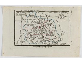
Location: 1806
Published: Paris, Prudhomme, Levrault, Debray, 1806
Size: 93 x 147mm.
Color: In original o/l colours.
Condition: Belle impression. Marge supérieure courte.
Carte centrée sur Clermont-Ferrand, avec une petite légende dans le coin supérieur gauche...
15€
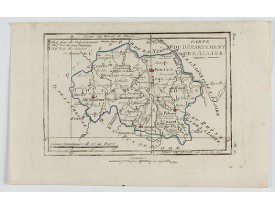
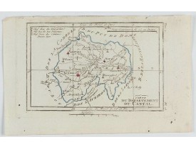
Location: 1806
Published: Paris, Prudhomme, Levrault, Debray, 1806
Size: 97 x 145 mm.
Color: In original o/l colours.
Condition: Belle impression. Marge supérieure courte.
DELAPORTE, L'Abbé. - Carte du Département de l'Allier. - 62277 - Auvergne - DELAPORTE, L'Abbé. - Carte du Département de l'A..
20€
Location: 1806
Published: Paris, Prudhomme, Levrault, Debray, 1806
Size: 97 x 148 mm.
Color: In original o/l colours.
Condition: Belle impression. Marge supérieure courte avec une très légère mouillure.
DELAPORTE, L'Abbé. - Carte du Département du Cantal. - 62265 - Auvergne - DELAPORTE, L'Abbé. - Carte du Département du Canta..
20€
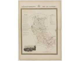
Location: 1841
Published: Paris, M. B. Dusillon, ca. 1841
Size: 675 x 480mm.
Color: In original o/l colors.
Condition: Paper slightly age toned but generally in very good condition. The maps on strong paper. Size of the sheet 560mm x 740mm.
Detailed map of Loire, from "Atlas général de France divisée en départements par Donnet et Monin ; avec armes et vues de Chap..
180€
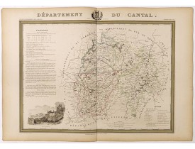
Location: 1841
Published: Paris, M. B. Dusillon, ca. 1841
Size: 480 x 675mm.
Color: In original o/l colors.
Condition: Paper slightly age toned but generally in very good condition. The maps on strong paper. Size of the sheet 560mm x 740mm.
Detailed map of Cantal, from "Atlas général de France divisée en départements par Donnet et Monin ; avec armes et vues de Cha..
180€
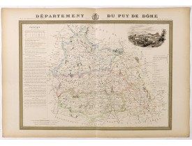
Location: 1841
Published: Paris, M. B. Dusillon, ca. 1841
Size: 480 x 675mm.
Color: In original o/l colors.
Condition: Paper slightly age toned but generally in very good condition. The maps on strong paper. Size of the sheet 560mm x 740mm.
Map of the department of Puy de Dôme published in "Atlas Général de France", divided by departments by Donnet and Monin, geog..
180€
Location: 1841
Published: Paris, M. B. Dusillon, ca. 1841
Size: 480 x 675mm.
Color: In original o/l colors.
Condition: Paper slightly age toned but generally in very good condition. The maps on strong paper. Size of the sheet 560mm x 740mm.
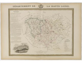
Detailed map of Haute Loire, from "Atlas général de France divisée en départements par Donnet et Monin ; avec armes et vues d..
180€
Location: 1841
Published: Paris, M. B. Dusillon, ca. 1841
Size: 480 x 675mm.
Color: In original o/l colors.
Condition: Paper slightly age toned but generally in very good condition. The maps on strong paper. Size of the sheet 560mm x 740mm.
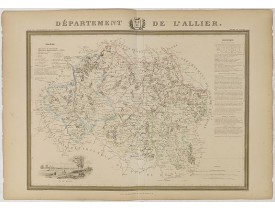
Detailed map of l'Allier from "Atlas général de France divisée en départements par Donnet et Monin ; avec armes et vues de Ch..
150€
Location: 1852
Published: Paris, A. Combette, 1852
Size: 290 x 415mm.
Color: In original o/l colours.
Condition: Tres bon état. Gravure sur acier avec limites en coloris d'époque, les éléments décoratifs ne sont pas coloriés.
Carte du Département de l'Allier. Jeune ingénieur géographe du milieu du XIXe siècle, Victor Levasseur est surtout connu pour..
30€
Location: 1852
Published: Paris, A. Combette, 1852
Size: 280 x 390mm.
Color: In original o/l colours.
Condition: Tres bon état. Gravure sur acier avec limites en coloris d'époque, les éléments décoratifs ne sont pas coloriés.
Carte du département du Cantal. Jeune ingénieur géographe du milieu du XIXe siècle, Victor Levasseur est surtout connu pour s..
30€
Location: 1852
Published: Paris, A. Combette, 1852
Size: 290 x 420mm.
Color: In original o/l colours.
Condition: Tres bon état. Gravure sur acier avec limites en coloris d'époque, les éléments décoratifs ne sont pas coloriés.
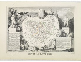
Carte du département de la Haute Loire. Jeune ingénieur géographe du milieu du XIXe siècle, Victor Levasseur est surtout conn..
50€
Location: 1852
Published: Paris, A. Combette, 1852
Size: 280 x 415mm.
Color: In original o/l colours.
Condition: Tres bon état. Gravure sur acier avec limites en coloris d'époquer, les éléments décoratifs ne sont pas coloriés.
Carte du département du Puy de Dôme. Jeune ingénieur géographe du milieu du XIXe siècle, Victor Levasseur est surtout connu p..
30€
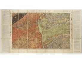
Location: 1890
Published: Paris, Baudry et C.ie éditeurs, 1890
Size: 530 x 845mm.
Color: Uncoloured.
Condition: Carte chromolithographiée, divisée en 27 segments, entoilée et repliée. Dimensions de la planche : 610 x 1070 mm. Bel exemplaire.
Carte géologique figurant la région de St-Etienne, assortie d'une notice explicative (de chaque côté) et d'une légende techni..
150€
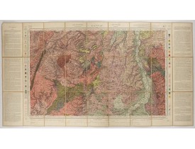
Location: 1892
Published: Paris, Baudry et C.ie éditeurs, 1892
Size: 530 x 845mm.
Color: In attactive original colours.
Condition: Carte chromolithographiée, divisée en 27 segments, entoilée et repliée. Dimensions de la planche : 610 x 1070 mm. Bel exemplaire.
Carte géologique figurant la région de Montluçon, assortie d'une notice explicative (de chaque côté) et d'une légende techniq..
150€
Location: 1904
Published: Paris, 1904
Size: 615 x 1160mm.
Color: Original colors
Condition: Folding map divided into 27 parts. In good condition.
Topographic map of Gannat, situated in Massif Central in France. Published by Ch. Béranger éditeur, for Etat Major, scale 1: ..
100€
Showing 1 to 19 of 19 (1 Pages)


![LEVASSEUR, V. - Dépt. De L'Allier. N°3. [ Moulins ] LEVASSEUR, V. - Dépt. De L'Allier. N°3. [ Moulins ]](https://www.loeb-larocque.com/eshop/image/cache/catalog/image/new_upload/27082-275x210w.jpg)
![LEVASSEUR, V. - Dépt. Du Cantal. N°14. [ Aurillac, Murai ] LEVASSEUR, V. - Dépt. Du Cantal. N°14. [ Aurillac, Murai ]](https://www.loeb-larocque.com/eshop/image/cache/catalog/image/new_upload/27093-275x210w.jpg)
![LEVASSEUR, V. - Dépt. Du Puy De Dôme. N°62. [ Clermond Ferrand ] LEVASSEUR, V. - Dépt. Du Puy De Dôme. N°62. [ Clermond Ferrand ]](https://www.loeb-larocque.com/eshop/image/cache/catalog/image/new_upload/27141-275x210w.jpg)
