Tartary - Mongolia
The Silk Road extended approximately 6,437 kilometers (4,000 miles) across some of the world’s most formidable landscapes, including the Gobi Desert, the Pamir Mountains and traversed several of Uzbekistan’s major cities, including Samarkand, Bukhara and Khiva. The roads were typically in poor condition. Robbers were common. To protect themselves, traders joined together in caravans with camels or other pack animals. Over time, large inns called caravanserais cropped up to house travelling merchants.
One of the most famous travelers of the Silk Road was Marco Polo (1254 C.E. –1324 C.E.). Born into a family of wealthy merchants in Venice, Italy, Marco traveled with his father to China (then Cathay) when he was just 17 years of age.
It is hard to overstate the importance of the Silk Road on history. Religion and ideas spread along the Silk Road just as fluidly as goods. Towns along the route grew into multicultural cities.
The exchange of information gave rise to new technologies and innovations that would change the world.
The below antique maps are available for immediate sale, they are sold with a certificate of authenticity and published at the date indicated in the catalog description.
One of the most famous travelers of the Silk Road was Marco Polo (1254 C.E. –1324 C.E.). Born into a family of wealthy merchants in Venice, Italy, Marco traveled with his father to China (then Cathay) when he was just 17 years of age.
It is hard to overstate the importance of the Silk Road on history. Religion and ideas spread along the Silk Road just as fluidly as goods. Towns along the route grew into multicultural cities.
The exchange of information gave rise to new technologies and innovations that would change the world.
Antique maps including the Silk Route region
The below antique maps are available for immediate sale, they are sold with a certificate of authenticity and published at the date indicated in the catalog description.
Location: 1633
Published: Amsterdam, 1633
Size: 342 x 495mm.
Color: In attractive strong original colours.
Condition: Some outer marginal discoloration. Paper very slightly age-toned, very good condition. French text on verso.
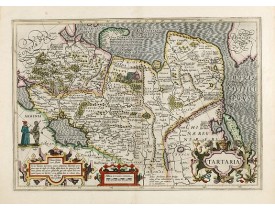
Published in Hondius' editions of the Mercator Atlas from 1606 onwards, showing China, Korea and the northern Pacific coast o..
1,000€
Location: 1658
Published: Amsterdam, 1658
Size: 382 x 502mm.
Color: Original colours.
Condition: Printed on heavy paper. Some light water staining in upper margin, hardly affecting the engraved area. Dutch text on verso. Wide margins, very good impression, near to mint condition. Dutch text on verso.
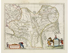
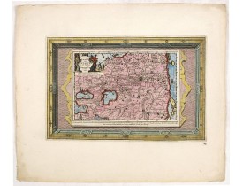
This is a detailed and decorative map of the Tartary and northern part of China, including the Chinese Great Wall, the Caspia..
600€
Location: 1690
Published: Paris, ca. 1690
Size: 258 x 173mm.
Color: Uncoloured.
Condition: Good and dark impression. Margins cut short.
Decorative costume plate showing Kam Hi son of the Shunzhi Emperor of China [1638 - 1661?], the second emperor of the Manchu ..
200€
Location: 1700
Published: Oxford, 1700
Size: 360 x 500mm.
Color: Uncoloured.
Condition: Repair to centrefold, three brown ink marks to top margin. Map has been cleaned. Slight plate wear. Some paper thinning. Good overall condition.
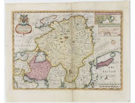
Two insets show the land to the northeast of China, according to Jesuit information. The map stretches from northern Russia a..
800€
Location: 1713
Published: Amsterdam, 1713
Size: 215 x 335mm.
Color: Coloured.
Condition: Map has two small holes that affect the engraved surface, one is a rust hole light creasing and the margins have very minor nicks and small tears, else in good condition.
This attractive map of Tartary shows the ancient Silk Road region. The map shows the track of William of Rubruck (Willem van ..
500€
Location: 1750
Published: Amsterdam, 1750
Size: 289 x 361mm.
Color: Coloured.
Condition: In attractive original colours.
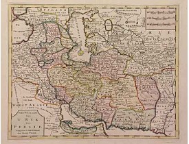
A detailed map of Persia and its adjoining countries...
300€
Location: 1750
Published: Amsterdam, 1750
Size: 280 x 343mm.
Color: Original colours.
Condition: In very attractive original colours. Wide margins.
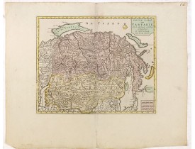
A map of Tartary, Korea and part of Japan. The map is most notable for the confusion between Kamchatka and Iesso.There are ve..
300€
Location: 1755
Published: London, 1755
Size: 203 x 302mm.
Color: Coloured.
Condition: In good condition.
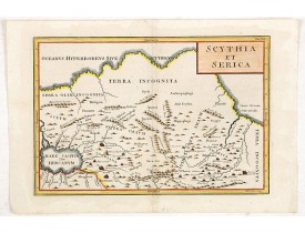
Covering the region between the Caspian and the Sea of China, much of which is Terra Incognita in the North and East. With ti..
130€
Location: 1770
Published: Paris, 1770
Size: 290 x 357mm.
Color: Coloured.
Condition: In good condition.
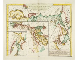
Three maps on one sheet. Depicting three maps centered on mainland China, Hokkaido and Kamtschadka in three different visions..
270€
Location: 1779
Published: Paris, 1779
Size: 290 x 357mm.
Color: Uncoloured.
Condition: In very good condition. Wide margins. Slight discolouration along centerfold.
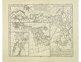
Three maps on one sheet. Depicting three maps centred on mainland China, Hokkaido and Kamtschadka in three different visions...
150€
Location: 1808
Published: London, Boydell and Co., 1808
Size: 281 x 412mm.
Color: In original colours.
Condition: Contemp. handcoloured aquatint, published by Boydell (and successor), London, 1808[-20], on J. Whatman paper watermarked 1820.<br />Paper very slightly stained. Together with a text page.
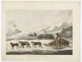
The narta, or Sledge for burdens in Kamtschatka, taken from "Views in the South Seas" being a very important and early views ..
1,700€
Location: 1808
Published: London, Boydell and Co., 1808
Size: 289 x 414mm.
Color: In original colours.
Condition: Contemp. handcoloured aquatint, published by Boydell (and successor), London, 1808[-20], on J. Whatman paper watermarked 1820. Paper very slightly age-toned.<br />Together with a text page.
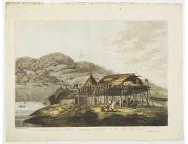
Balagans or summer habitations, with the method of drying fish at St. Peter and Paul, Kamtschatka, taken from "Views in the S..
2,000€
Location: 1827
Published: Milan, 1827
Size: 210 x 262mm.
Color: In attractive strong original colours.
Condition: Very good condition.
Aquatint depicting a group of Tartars in traditional attire, engraved by D.K. Bonatti, after drawings by G.Gattina. Plate N° ..
40€
Location: 1864
Published: London, Edward Stanford, 1864
Size: 330 x 390mm.
Color: In original o/l colours.
Condition: Very good condition.
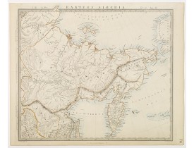
Very detailed steel engraved map of Siberia, including the peninsular of Kamchatka. Relief shown by hachures.The map is based..
50€
Location: 1890
Published: Lille, 1890
Size: 425 x 250mm.
Color: In original printed colours.
Condition: Coloured lithography. Paper very slightly age toned. Accompanied by one page description of the region in French.
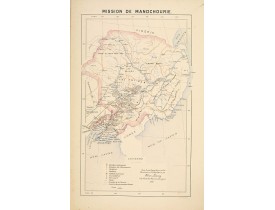
Important missionary map showing manchuria in Russia and China, prepared by Adrien Launay, who was a French Missionary and la..
100€
Showing 1 to 15 of 15 (1 Pages)


![FERRARIO, G. - [ Tartars ]. FERRARIO, G. - [ Tartars ].](https://www.loeb-larocque.com/eshop/image/cache/catalog/image/new_upload/25836-275x210w.jpg)
