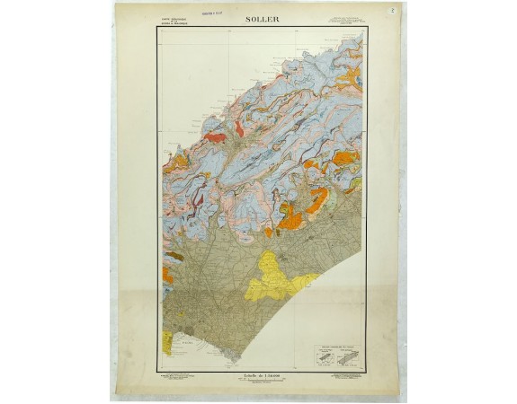
FALLOT, P. - Carte Géologique de la Sierra de Majorque. Soller.

FALLOT, P. - Carte Géologique de la Sierra de Majorque. Soller.
Date: Paris, c. 1920
Format: 800 x 490mm.
Color: Imprimé en couleur.
Condition: A stereo topography, paper slightly age-toned as usual. Very good condition.
Description
Geological map showing part of he island Mall orca Soller, including Palma. The map gives the following information's about Fallot : 1913, 1919 et 1920. Printed by Sté. Franç. De Stéréotopraphie, 85 Rue Lauriston. Paris.
Provenance : Foundation P. Fallot. P. Fallot was a well-known French geologist in the first part of the 19th century and in 1938 was appointed as a professor at the College de France.
Provenance : Foundation P. Fallot
125€
- N° Reference: 16340
Product Views: 2822
 cliquez sur l'image pour l'agrandir
