Germany general
The Silk Road extended approximately 6,437 kilometers (4,000 miles) across some of the world’s most formidable landscapes, including the Gobi Desert, the Pamir Mountains and traversed several of Uzbekistan’s major cities, including Samarkand, Bukhara and Khiva. The roads were typically in poor condition. Robbers were common. To protect themselves, traders joined together in caravans with camels or other pack animals. Over time, large inns called caravanserais cropped up to house travelling merchants.
One of the most famous travelers of the Silk Road was Marco Polo (1254 C.E. –1324 C.E.). Born into a family of wealthy merchants in Venice, Italy, Marco traveled with his father to China (then Cathay) when he was just 17 years of age.
It is hard to overstate the importance of the Silk Road on history. Religion and ideas spread along the Silk Road just as fluidly as goods. Towns along the route grew into multicultural cities.
The exchange of information gave rise to new technologies and innovations that would change the world.
The below antique maps are available for immediate sale, they are sold with a certificate of authenticity and published at the date indicated in the catalog description.
One of the most famous travelers of the Silk Road was Marco Polo (1254 C.E. –1324 C.E.). Born into a family of wealthy merchants in Venice, Italy, Marco traveled with his father to China (then Cathay) when he was just 17 years of age.
It is hard to overstate the importance of the Silk Road on history. Religion and ideas spread along the Silk Road just as fluidly as goods. Towns along the route grew into multicultural cities.
The exchange of information gave rise to new technologies and innovations that would change the world.
Antique maps including the Silk Route region
The below antique maps are available for immediate sale, they are sold with a certificate of authenticity and published at the date indicated in the catalog description.
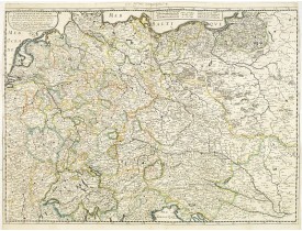
Location: 1657
Published: Paris, 1642/45-1657
Size: 405 x 557mm.
Color: In original o/l colours.
Condition: Good and dark impression. Left and right margin cut till scale border, as issued. Paper slightly age-toned but generally good.
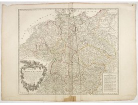
Fine map Central Europe including Germany, Poland, Low countries, Switzerland and Austria. The map was first published by Ta..
300€
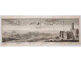
Location: 1729
Published: Augsburg, 1729
Size: 345 x 1008mm.
Color: Uncolored
Condition: Printed on two joined sheets. Paper slightly age toned.
This is a spectacular panoramic view of Bamberg, with legends numbered from 1 to 24 in German. The title is in a banderol.Aft..
1,200€
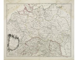
Location: 1756
Published: Paris, 1756
Size: 473 x 583mm.
Color: In original o/l colours.
Condition: Larges mouillures dans les angles supérieurs.
Carte de la Germanie. - A fine map of ancient Germany, Poland and the Netherlands...
30€
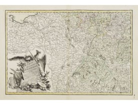
Location: 1783
Published: Paris ca 1783
Size: 303 x 452mm.
Color: In attractive original body colours.
Condition: Minor marginal spots. Minor discolouration along centerfold. Printed on heavy paper, with good margins. Good impression.
Attractive map centred on the south western part of Germany, including Switzerland, Luxembourg and part of Austria.Decorative..
75€
Location: 1792
Published: Paris, 1792
Size: 480 x 550mm.
Color: In original o/l colours.
Condition: Nombreuses pliures en partie centrale, restauration en marge inférieure.
Carte de l'Empire d'Allemagne... Divisée en IX cercles... Cartouche de titre surmonté d'un aigle...
50€
Location: 1863
Published: Paris, 1863
Size: 630 x 825mm.
Color: Original colours.
Condition: Originally hand-coloured lithography.
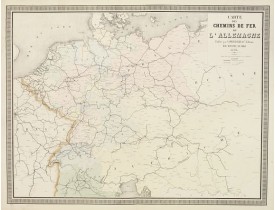
A fine map of Germany, the Netherlands, and Eastern Europe shows the early railway system of the area. From "Atlas des Chemin..
60€
Showing 1 to 6 of 6 (1 Pages)

