Europe de l'Est
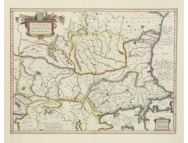
Location: 1647
Date: Amsterdam, 1647
Format: 382 x 503mm.
Color: Beau col. ancien.
Condition: In very good condition. <b>The map is lavishly coloured using gold for the cartouches and further embellishment.</b>
The cartographer of this map was Gerard Mercator. Latin text on verso. The scale of longitude and latitude are coloured alter..
600€
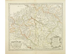
Location: 1654
Date: Paris, 1654
Format: 377 x 482mm.
Color: Limites en col. ancien.
Condition: Good and dark impression. Little age-toned. Generally in very good condition. Tear repair on 10 cm in right part.
Covering Czech Republic and centred on Prague. This edition carries the date 1654. Nicolas Sanson was to bring about the rise..
200€
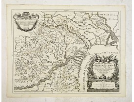
Location: 1686
Date: Rome, 1686
Format: 418 x 540mm.
Color: Limites en col. ancien.
Condition: Good and dark impression.
Scarce map of the region between the confluence of the Danube, Nistru and Dnieper Rivers along the Black Sea - present-day Uk..
500€
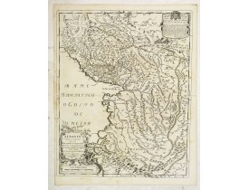
Location: 1689
Date: Rome, 1689
Format: 544 x 430mm.
Color: Limites en col. ancien.
Condition: Good and dark impression.
Scarce Vignola's map of Albania, with decorative cartouches for the title (bottom left) and dedication (top right). The well..
450€
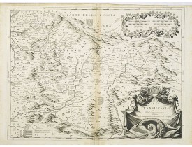
Location: 1696
Date: Venice, 1696
Format: 453 x 607mm.
Color: Noir et blanc.
Condition: With the usual light mainly marginal staining. A few tiny worm holes in center fold filled in. Minor discolouration along centerfold. Very strong impression. In very good condition.
A scarce and very attractive detailed map of Transylvania and includes numerous coats of arms in the body of the map and a la..
400€
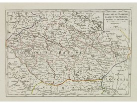
Location: 1799
Date: Paris, 1799
Format: 161 x 228mm.
Color: Limites en col. ancien.
Condition: Very crisp and fine image. Good margins. Minor marginal spots. Else very good condition.
Small detailed map of today Czech Republic. From Atlas Portatif Universel, by Robert de Vaugondy.Edited by : "Au dépôt de Géo..
80€
Affichage 1 à 6 de 6 (1 Pages)


