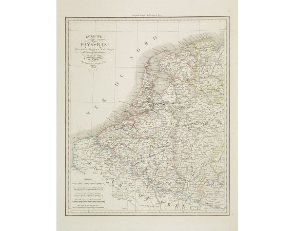
DUFOUR, A.H. - Royaume des Pays-Bas . . .

DUFOUR, A.H. - Royaume des Pays-Bas . . .
Published: Paris, A.H. Basset, 1828
Size: 420 x 345mm.
Color: In attractive original o/l colours.
Condition: Steel engraving, in very good condition.
Description
Detailed map of the Netherlands, Belgium and Luxembourg, prepared by A. H. Basset, rue Saint-Jacques, no. 64, Paris and published in Atlas classique et Universel de Géographie . . . .
The engraver of the map was Berthe.
The engraver of the map was Berthe.
80€
- Reference N°: 27361
2294 views
 Click on image to zoom
