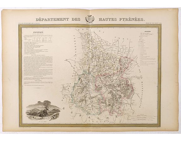
DONNET and MONIN. - Département des Hautes Pyrénées.

DONNET and MONIN. - Département des Hautes Pyrénées.
Published: Paris, M. B. Dusillon, ca. 1841
Size: 480 x 675mm.
Color: In original o/l colors.
Condition: Paper slightly age toned but generally in very good condition. The maps on strong paper. Size of the sheet 560mm x 740mm.
Description
Detailed map of Hautes Pyrénées, from "Atlas général de France divisée en départements par Donnet et Monin ; avec armes et vues de Chapuy gravées sur cuivre par MM. Arlus, Malo, Bénard, Traversier, &.a.
This is one of the last decorative atlasses of the 19th century.
Adorned with a vignette depicting a view of the chief town and with statistical text relating to administration, agriculture, industry, trade, historic monuments, antiques and famous men.
Engraved on copper and steel by Arlus, Malo, Bénard, Traversier and others, views and coat of arms are designed by Chapuy.
180€
- See other items by this publisher: DONNET and MONIN.
- Reference N°: 42752
2540 views
 Click on image to zoom
