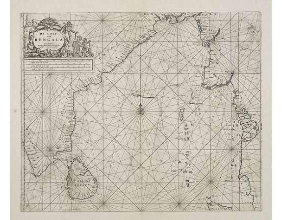
DONCKER, H. - De golf van Bengalen.
 Click on image to zoom

DONCKER, H. - De golf van Bengalen.
Published: Amsterdam, after 1669-1712
Size: 434 x 520mm.
Color: Uncoloured.
Condition: Paper slightly age-toned. With some plate scratching and ink toning.
Description
Rare chart of the Indian Ocean, with compass roses and system of rhumb lines, soundings and anchorage's. Many place names.
The plate was newly made by Doncker, in an early stage he used the copperplates of Goos. More frequent than Goos, Lootsman, Van Loon, and others contemporaries, Hendrik Doncker corrected and improved charts. As a result this map is much updated than the Jansson (1658) map of the Bay of Bengal
The plate was newly made by Doncker, in an early stage he used the copperplates of Goos. More frequent than Goos, Lootsman, Van Loon, and others contemporaries, Hendrik Doncker corrected and improved charts. As a result this map is much updated than the Jansson (1658) map of the Bay of Bengal
1,900€
- See other items by this publisher: DONCKER, H.
- Reference N°: 25909
