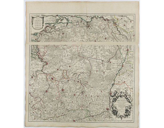
DELISLE, G. - Carte du Brabant.

DELISLE, G. - Carte du Brabant.
Published: Paris, 1705
Size: 640 x 640mm.
Color: In original o/l colours.
Condition: Good impression. A two-sheet map, when joined together 640 x 640mm.
Description
Map of Brabant with the address : Chez l’Auteur sur le Quai de l’Horloge (address erased after Horloge). Avec privilege du Roy. 1705."
Guillaume de l'Isle's (1675-1726) well deserved reputation as one of the foremost geographers of the 18th century meant that his maps were influential for many years after his death. De l'Isle eradicated as much as possible imaginary geography in his maps.
Guillaume de l'Isle's (1675-1726) well deserved reputation as one of the foremost geographers of the 18th century meant that his maps were influential for many years after his death. De l'Isle eradicated as much as possible imaginary geography in his maps.
300€
- Reference N°: 41939
1574 views
 Click on image to zoom
