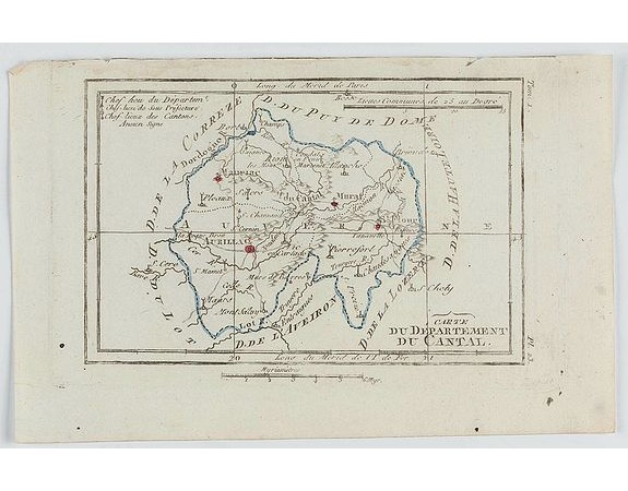
DELAPORTE, L'Abbé. - Carte du Département du Cantal.

DELAPORTE, L'Abbé. - Carte du Département du Cantal.
Published: Paris, Prudhomme, Levrault, Debray, 1806
Size: 97 x 148 mm.
Color: In original o/l colours.
Condition: Belle impression. Marge supérieure courte avec une très légère mouillure.
Description
DELAPORTE, L'Abbé. - Carte du Département du Cantal. - 62265 - Auvergne - DELAPORTE, L'Abbé. - Carte du Département du Cantal. - 62265 - Auvergne
20€
- See other items by this publisher: DELAPORTE, L'Abbé.
- Reference N°: 62265
9175 views
 Click on image to zoom
